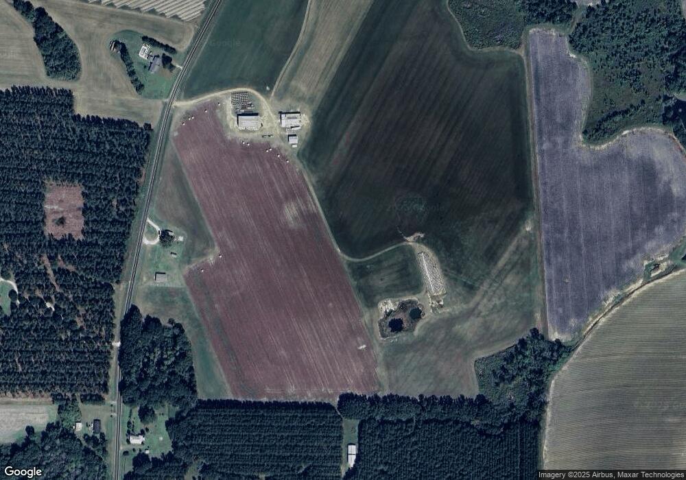
1890 Stephenson Rd Boston, GA 31626
Estimated Value: $259,000 - $708,970
--
Bed
2
Baths
--
Sq Ft
66.79
Acres
About This Home
This home is located at 1890 Stephenson Rd, Boston, GA 31626 and is currently estimated at $483,985. 1890 Stephenson Rd is a home located in Thomas County with nearby schools including Hand in Hand Primary School, Garrison-Pilcher Elementary School, and Cross Creek Elementary School.
Ownership History
Date
Name
Owned For
Owner Type
Purchase Details
Closed on
Sep 3, 2021
Sold by
Connell Nathan D
Bought by
Cynergy Land Investments Llc
Current Estimated Value
Purchase Details
Closed on
Jan 6, 2012
Sold by
Sampson Joey
Bought by
Connell Nathan Daniel
Purchase Details
Closed on
Aug 6, 2010
Sold by
Stephenson Ricky E
Bought by
Sampson Joey
Purchase Details
Closed on
Jan 31, 1978
Bought by
Stephenson Ricky E
Create a Home Valuation Report for This Property
The Home Valuation Report is an in-depth analysis detailing your home's value as well as a comparison with similar homes in the area
Home Values in the Area
Average Home Value in this Area
Purchase History
| Date | Buyer | Sale Price | Title Company |
|---|---|---|---|
| Cynergy Land Investments Llc | -- | -- | |
| Connell Nathan Daniel | $225,000 | -- | |
| Sampson Joey | -- | -- | |
| Wade Connell Nathan Daniel | $225,000 | -- | |
| Sampson Joey | $196,000 | -- | |
| Stephenson Ricky E | -- | -- |
Source: Public Records
Tax History Compared to Growth
Tax History
| Year | Tax Paid | Tax Assessment Tax Assessment Total Assessment is a certain percentage of the fair market value that is determined by local assessors to be the total taxable value of land and additions on the property. | Land | Improvement |
|---|---|---|---|---|
| 2024 | $779 | $120,113 | $107,536 | $12,577 |
| 2023 | $876 | $142,723 | $126,861 | $15,862 |
| 2022 | $902 | $140,550 | $126,861 | $13,689 |
| 2021 | $965 | $123,431 | $110,093 | $13,338 |
| 2020 | $1,012 | $125,069 | $110,093 | $14,976 |
| 2019 | $1,005 | $125,069 | $110,093 | $14,976 |
| 2018 | $1,008 | $125,082 | $110,093 | $14,989 |
| 2017 | $1,006 | $125,095 | $110,093 | $15,002 |
| 2016 | $997 | $125,135 | $110,093 | $15,042 |
| 2015 | $998 | $125,227 | $110,093 | $15,134 |
| 2014 | $985 | $125,227 | $110,093 | $15,134 |
| 2013 | -- | $136,008 | $117,976 | $18,032 |
Source: Public Records
Map
Nearby Homes
- 2109 Stephenson Rd
- 2222 Stephenson Rd
- 1888 Stephenson Rd
- 1741 Stephenson Rd
- 1714 Stephenson Rd
- 1714 Stephenson Rd Unit one
- 2345 Stephenson Rd
- 1684 Stephenson Rd
- 7647 Salem Rd
- 216 Owens Ln
- 1029 Stephenson Rd
- 0 Stephenson Rd
- 10.7 Ac. Stephenson Rd
- 0000 Stephenson Rd
- 00 Stephenson Rd
- 2478 Stephenson Rd
- 7635 Salem Rd
- 1980 Pope Rd
- 1395 Stephenson Rd
- 1845 Pope Rd