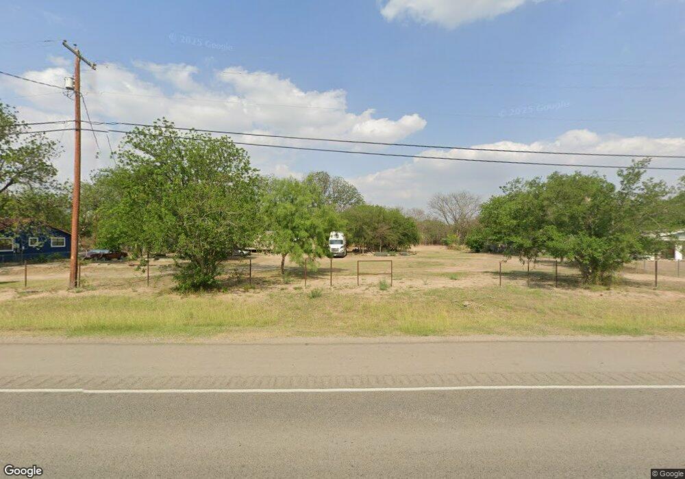
18904 N Highway 277 Quemado, TX 78877
Estimated Value: $156,000 - $302,000
--
Bed
2
Baths
1,484
Sq Ft
$157/Sq Ft
Est. Value
About This Home
This home is located at 18904 N Highway 277, Quemado, TX 78877 and is currently estimated at $232,399, approximately $156 per square foot. 18904 N Highway 277 is a home located in Maverick County.
Ownership History
Date
Name
Owned For
Owner Type
Purchase Details
Closed on
Apr 22, 2010
Sold by
Dominguez Heraclio G
Bought by
Dominguez Marina Del Rosario F
Current Estimated Value
Purchase Details
Closed on
Oct 24, 2005
Sold by
Hense Bertha
Bought by
Dominguez Heraclio G
Home Financials for this Owner
Home Financials are based on the most recent Mortgage that was taken out on this home.
Original Mortgage
$65,000
Interest Rate
8.7%
Mortgage Type
Adjustable Rate Mortgage/ARM
Create a Home Valuation Report for This Property
The Home Valuation Report is an in-depth analysis detailing your home's value as well as a comparison with similar homes in the area
Home Values in the Area
Average Home Value in this Area
Purchase History
| Date | Buyer | Sale Price | Title Company |
|---|---|---|---|
| Dominguez Marina Del Rosario F | -- | None Available | |
| Dominguez Heraclio G | -- | None Available |
Source: Public Records
Mortgage History
| Date | Status | Borrower | Loan Amount |
|---|---|---|---|
| Previous Owner | Dominguez Heraclio G | $65,000 |
Source: Public Records
Tax History Compared to Growth
Tax History
| Year | Tax Paid | Tax Assessment Tax Assessment Total Assessment is a certain percentage of the fair market value that is determined by local assessors to be the total taxable value of land and additions on the property. | Land | Improvement |
|---|---|---|---|---|
| 2024 | -- | $162,455 | $8,695 | $153,760 |
| 2023 | $1,618 | $127,294 | $8,695 | $118,599 |
| 2022 | $1,721 | $125,179 | $6,580 | $118,599 |
| 2021 | $1,927 | $105,062 | $4,700 | $100,362 |
| 2020 | $1,867 | $99,330 | $4,700 | $94,630 |
| 2019 | $1,569 | $102,010 | $7,380 | $94,630 |
| 2018 | $497 | $89,920 | $7,380 | $82,540 |
| 2017 | $1,199 | $67,058 | $0 | $0 |
| 2016 | $1,090 | $60,962 | $0 | $0 |
| 2015 | -- | $55,420 | $0 | $0 |
| 2014 | -- | $55,420 | $0 | $0 |
Source: Public Records
Map
Nearby Homes
- 31 Fm 1664
- 972 Silver Bridge Rd
- 1022 Silver Bridge Rd
- 392 Amistad
- 385 4th St
- 1585 Fm 1664
- 4495 Fm 1664
- 3232 Fm 1590
- 24038 US Hwy 277
- 3352 Fm 1590
- 000 U S 277
- 20399 Quemado Ave
- 10.01 ACRES Abdalla Rd
- 632 Mays Rd
- 20100 N Us Hwy 277 Unit N/A
- 580 Third St
- 619 2nd St
- 20234 N Us Hwy 277
- 312 County Road 100
- 759 Mcdavid Rd
- 18841 N Us Hwy 277
- 18770 N Highway 277
- 92 Oconnell Rd
- 92 O'Connell Rd
- 23 Fm 1666
- 19078 N Highway 277
- 19126 U S 277
- 19193 N Highway 277
- 245 Fm 1666
- 283 Fm 1666
- 120 Private Road 100
- 94 Silver Bridge Rd
- 192 Fm 1664
- 18333 N Highway 277
- 0000 Silver Bridge Rd
- 18069 N Highway 277
- 19668 N Highway 277
- 00 Silver Bridge Rd
- LOT 4 Tract 15 Unit N/A
- 116 Barrow Ln