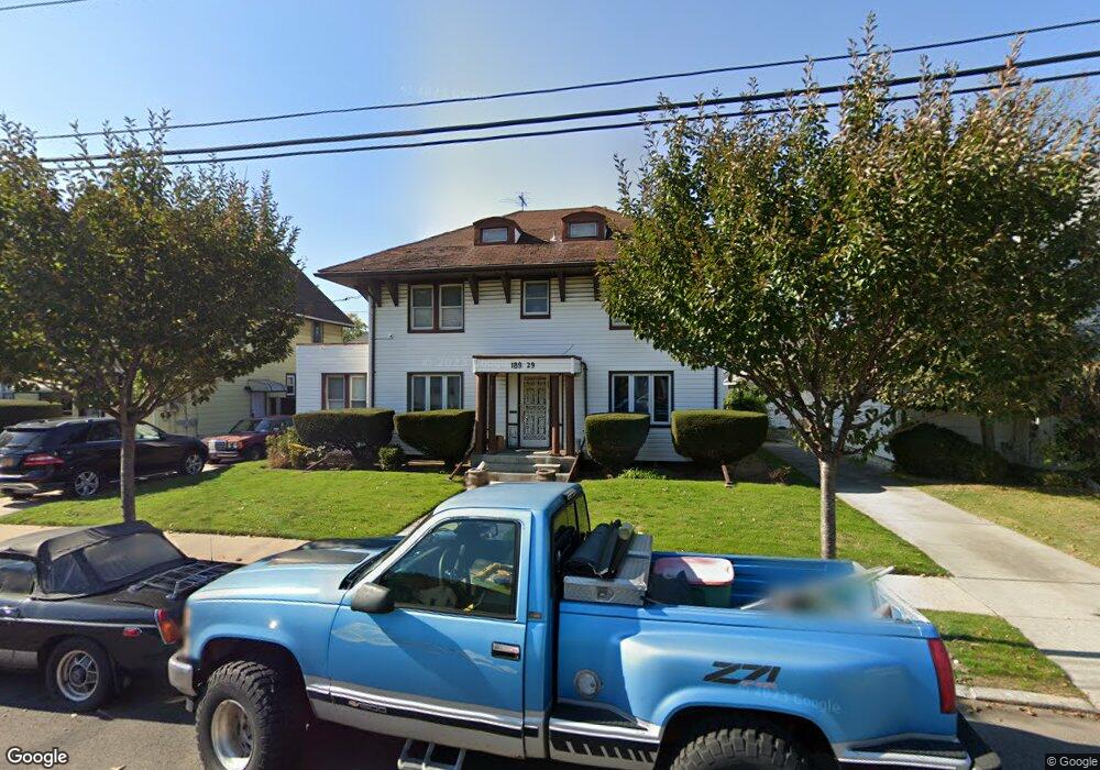
18929 Lewiston Ave Saint Albans, NY 11412
Hollis NeighborhoodEstimated Value: $825,000 - $937,000
--
Bed
--
Bath
2,649
Sq Ft
$339/Sq Ft
Est. Value
About This Home
This home is located at 18929 Lewiston Ave, Saint Albans, NY 11412 and is currently estimated at $898,339, approximately $339 per square foot. 18929 Lewiston Ave is a home located in Queens County with nearby schools including P.S. 118 Lorraine Hansberry, I.S. 192 The Linden, and Riverton Street Charter School.
Ownership History
Date
Name
Owned For
Owner Type
Purchase Details
Closed on
May 28, 1997
Sold by
Mills Hazel
Bought by
Sears Donna
Current Estimated Value
Home Financials for this Owner
Home Financials are based on the most recent Mortgage that was taken out on this home.
Original Mortgage
$46,550
Outstanding Balance
$6,592
Interest Rate
7.86%
Estimated Equity
$891,747
Create a Home Valuation Report for This Property
The Home Valuation Report is an in-depth analysis detailing your home's value as well as a comparison with similar homes in the area
Home Values in the Area
Average Home Value in this Area
Purchase History
| Date | Buyer | Sale Price | Title Company |
|---|---|---|---|
| Sears Donna | $70,000 | First American Title Ins Co |
Source: Public Records
Mortgage History
| Date | Status | Borrower | Loan Amount |
|---|---|---|---|
| Open | Sears Donna | $46,550 |
Source: Public Records
Tax History Compared to Growth
Tax History
| Year | Tax Paid | Tax Assessment Tax Assessment Total Assessment is a certain percentage of the fair market value that is determined by local assessors to be the total taxable value of land and additions on the property. | Land | Improvement |
|---|---|---|---|---|
| 2025 | $7,388 | $36,785 | $10,483 | $26,302 |
| 2024 | $7,388 | $36,785 | $9,849 | $26,936 |
| 2023 | $7,204 | $35,868 | $9,763 | $26,105 |
| 2022 | $6,755 | $57,000 | $16,740 | $40,260 |
| 2021 | $6,838 | $47,220 | $16,740 | $30,480 |
| 2020 | $6,489 | $40,620 | $16,740 | $23,880 |
| 2019 | $6,413 | $39,960 | $16,740 | $23,220 |
| 2018 | $6,093 | $29,890 | $12,771 | $17,119 |
| 2017 | $5,749 | $28,200 | $13,472 | $14,728 |
| 2016 | $5,413 | $28,200 | $13,472 | $14,728 |
| 2015 | $2,989 | $25,545 | $17,481 | $8,064 |
| 2014 | $2,989 | $25,545 | $17,481 | $8,064 |
Source: Public Records
Map
Nearby Homes
- 18833 Keeseville Ave
- 188-25 Mangin Ave
- 18823 Mangin Ave
- 188-07 Mangin Ave
- 187-44 Jordan Ave
- 18914 114th Rd
- 19022 111th Rd
- 191-40 112th Rd
- 189-18 114th Dr
- 111-06 Farmers Blvd
- 191-16 114th Rd
- 186-16 Hilburn Ave
- 188-45 Quencer Rd
- 190-59 112th Ave
- 114-13 203rd st 203rd St
- 190-63 112th Ave
- 191-34 114th Rd
- 194-16 112th Ave
- 191-47 114th Dr
- 19427 Murdock Ave
- 18925 Lewiston Ave
- 18935 Lewiston Ave
- 18832 Keeseville Ave
- 18828 Keeseville Ave
- 18919 Lewiston Ave
- 18834 Keeseville Ave
- 18826 Keeseville Ave
- 18941 Lewiston Ave
- 18838 Keeseville Ave
- 18834 Keeseville Ave
- 18941 Lewiston Ave
- 18822 Keeseville Ave
- 18840 Keeseville Ave
- 189-32 Lewiston Ave
- 18820 Keeseville Ave
- 18911 Lewiston Ave
- 18936 Lewiston Ave
- 18945 Lewiston Ave
- 18932 Lewiston Ave
- 18938 Lewiston Ave