19 Executive Dr Unit 277 Mashpee, MA 02649
Estimated Value: $471,000 - $589,505
2
Beds
3
Baths
2,250
Sq Ft
$242/Sq Ft
Est. Value
About This Home
This home is located at 19 Executive Dr Unit 277, Mashpee, MA 02649 and is currently estimated at $543,876, approximately $241 per square foot. 19 Executive Dr Unit 277 is a home located in Barnstable County with nearby schools including Kenneth C. Coombs School, Quashnet School, and Mashpee Middle School.
Ownership History
Date
Name
Owned For
Owner Type
Purchase Details
Closed on
May 7, 2025
Sold by
Simmons Dorothy F
Bought by
Saraf Massard Ft and Massard
Current Estimated Value
Home Financials for this Owner
Home Financials are based on the most recent Mortgage that was taken out on this home.
Original Mortgage
$200,000
Outstanding Balance
$198,932
Interest Rate
6.65%
Mortgage Type
Purchase Money Mortgage
Estimated Equity
$344,944
Purchase Details
Closed on
Jul 31, 2009
Sold by
Eshbaugh Peter B and Eshbaugh Ruth C
Bought by
Simmons John F and Simmons Dorothy F
Purchase Details
Closed on
May 6, 2005
Sold by
Janet E Butts Ret and Butts
Bought by
Janet E Butts Ret and Butts
Purchase Details
Closed on
May 2, 2001
Sold by
Cape Southport Assocs
Bought by
Butts Frederic H and Butts Janet E
Create a Home Valuation Report for This Property
The Home Valuation Report is an in-depth analysis detailing your home's value as well as a comparison with similar homes in the area
Home Values in the Area
Average Home Value in this Area
Purchase History
| Date | Buyer | Sale Price | Title Company |
|---|---|---|---|
| Saraf Massard Ft | $545,000 | None Available | |
| Simmons John F | $364,000 | -- | |
| Simmons John F | $364,000 | -- | |
| Janet E Butts Ret | -- | -- | |
| Janet E Butts Ret | -- | -- | |
| Butts Frederic H | $259,900 | -- | |
| Butts Frederic H | $259,900 | -- |
Source: Public Records
Mortgage History
| Date | Status | Borrower | Loan Amount |
|---|---|---|---|
| Open | Saraf Massard Ft | $200,000 | |
| Previous Owner | Janet E Butts Ret | $100,000 |
Source: Public Records
Tax History Compared to Growth
Tax History
| Year | Tax Paid | Tax Assessment Tax Assessment Total Assessment is a certain percentage of the fair market value that is determined by local assessors to be the total taxable value of land and additions on the property. | Land | Improvement |
|---|---|---|---|---|
| 2025 | $3,681 | $556,100 | $0 | $556,100 |
| 2024 | $3,518 | $547,100 | $0 | $547,100 |
| 2023 | $3,401 | $485,200 | $0 | $485,200 |
| 2022 | $3,390 | $414,900 | $0 | $414,900 |
| 2021 | $3,555 | $391,900 | $0 | $391,900 |
| 2020 | $3,478 | $382,600 | $0 | $382,600 |
| 2019 | $3,692 | $408,000 | $0 | $408,000 |
| 2018 | $3,539 | $396,700 | $0 | $396,700 |
| 2017 | $3,542 | $385,400 | $0 | $385,400 |
| 2016 | $3,463 | $374,800 | $0 | $374,800 |
| 2015 | $3,030 | $332,600 | $0 | $332,600 |
| 2014 | $2,889 | $307,700 | $0 | $307,700 |
Source: Public Records
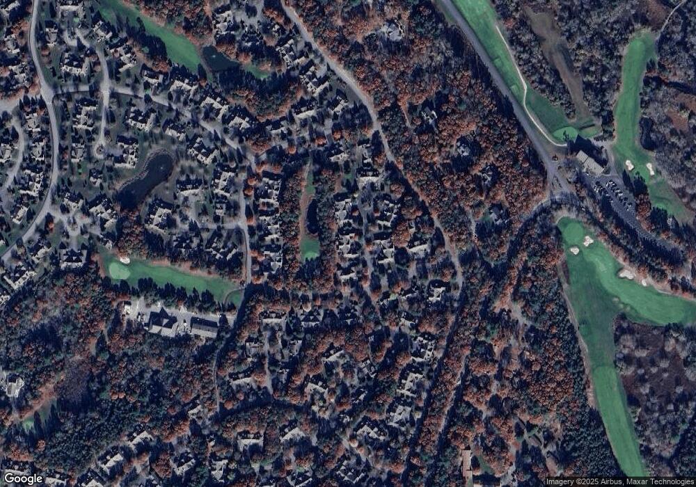
Map
Nearby Homes
- 18 Executive Dr Unit 18
- 18 Executive Dr
- 80 Pine Hill Blvd Unit 80
- 5 Friendship Ct
- 5 Friendship Ct Unit 89
- 1 Upland Cir
- 1 Upland Cir Unit 1
- 14 Sandview Terrace Unit 14
- 14 Sandview Terrace
- 22 Country Club Ln
- 37 Pine Hill Blvd Unit 30
- 37 Pine Hill Blvd
- 8 Chippers Ln
- 8 Chippers Ln Unit 390
- 181 Leisure Green Dr
- 6 Masters Ct
- 115 Pine Hill Blvd Unit 347
- 115 Pine Hill Blvd
- 4 N Ridge Rd
- 4 N Ridge Rd Unit 431
- 20 Executive Dr
- 21 Executive Dr
- 21 Executive Dr Unit 21
- 21 Executive Dr Unit 275
- 16 Windward St
- 14 Executive Dr
- 16 Executive Dr
- 17 Executive Dr
- 14 Executive Dr Unit 14
- 14 Executive Dr Unit 282
- 18 Windward St
- 15 Executive Dr
- 2 Executive Dr
- 3 Executive Dr
- 4 Executive Dr
- 3 Executive Dr Unit 3
- 4 Executive Dr Unit 291
- 3 Executive Dr Unit 292
- 1 Executive Dr
- 1 Executive Dr Unit 294