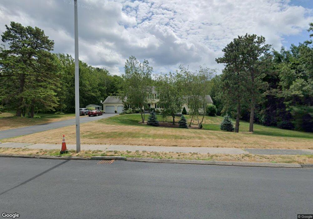
19 Joanna Dr Foxboro, MA 02035
Estimated Value: $988,585 - $1,220,000
5
Beds
4
Baths
3,072
Sq Ft
$347/Sq Ft
Est. Value
About This Home
This home is located at 19 Joanna Dr, Foxboro, MA 02035 and is currently estimated at $1,065,646, approximately $346 per square foot. 19 Joanna Dr is a home located in Norfolk County with nearby schools including Foxborough High School, St Mary's Catholic School, and Hands-On-Montessori School.
Ownership History
Date
Name
Owned For
Owner Type
Purchase Details
Closed on
Jun 29, 2020
Sold by
Laplante Anne E and Laplante Gene P
Bought by
Miller Ryan T and Laplante Danielle M
Current Estimated Value
Home Financials for this Owner
Home Financials are based on the most recent Mortgage that was taken out on this home.
Original Mortgage
$496,000
Outstanding Balance
$439,820
Interest Rate
3.1%
Mortgage Type
New Conventional
Estimated Equity
$625,826
Purchase Details
Closed on
Oct 1, 2015
Sold by
Miller Ryan T and Laplante Danielle M
Bought by
Miller Ryan T and Laplante Danielle M
Purchase Details
Closed on
Jul 31, 2015
Sold by
Botsch Mark E and Botsch Susan L
Bought by
Miller Ryan T and Laplante Danielle M
Home Financials for this Owner
Home Financials are based on the most recent Mortgage that was taken out on this home.
Original Mortgage
$450,000
Interest Rate
3.97%
Mortgage Type
New Conventional
Purchase Details
Closed on
Jul 10, 2003
Sold by
Maloney Kathleen M
Bought by
Botsch Mark E and Botsch Susan L
Home Financials for this Owner
Home Financials are based on the most recent Mortgage that was taken out on this home.
Original Mortgage
$409,000
Interest Rate
5.45%
Mortgage Type
Purchase Money Mortgage
Purchase Details
Closed on
Jun 2, 1987
Sold by
Volpicelli Joseph
Bought by
Maloney Paul T
Create a Home Valuation Report for This Property
The Home Valuation Report is an in-depth analysis detailing your home's value as well as a comparison with similar homes in the area
Home Values in the Area
Average Home Value in this Area
Purchase History
| Date | Buyer | Sale Price | Title Company |
|---|---|---|---|
| Miller Ryan T | -- | None Available | |
| Miller Ryan T | -- | -- | |
| Miller Ryan T | $570,000 | -- | |
| Botsch Mark E | $459,000 | -- | |
| Maloney Paul T | $249,900 | -- |
Source: Public Records
Mortgage History
| Date | Status | Borrower | Loan Amount |
|---|---|---|---|
| Open | Miller Ryan T | $496,000 | |
| Previous Owner | Miller Ryan T | $450,000 | |
| Previous Owner | Maloney Paul T | $409,000 | |
| Previous Owner | Maloney Paul T | $20,000 |
Source: Public Records
Tax History Compared to Growth
Tax History
| Year | Tax Paid | Tax Assessment Tax Assessment Total Assessment is a certain percentage of the fair market value that is determined by local assessors to be the total taxable value of land and additions on the property. | Land | Improvement |
|---|---|---|---|---|
| 2025 | $10,835 | $819,600 | $288,200 | $531,400 |
| 2024 | $10,824 | $801,200 | $293,400 | $507,800 |
| 2023 | $10,451 | $735,500 | $279,600 | $455,900 |
| 2022 | $9,675 | $666,300 | $234,600 | $431,700 |
| 2021 | $9,462 | $641,900 | $217,200 | $424,700 |
| 2020 | $9,150 | $628,000 | $217,200 | $410,800 |
| 2019 | $8,733 | $594,100 | $206,800 | $387,300 |
| 2018 | $8,487 | $582,500 | $206,800 | $375,700 |
| 2017 | $8,188 | $544,400 | $193,200 | $351,200 |
| 2016 | $7,930 | $535,100 | $194,900 | $340,200 |
| 2015 | $7,928 | $521,900 | $164,800 | $357,100 |
| 2014 | $7,559 | $504,300 | $154,000 | $350,300 |
Source: Public Records
Map
Nearby Homes
- 5 Lauren Ln
- 67 Morse St
- 261 East St
- 619 N Main St
- 25 Winter St
- 55-57 Pine Needle Ln
- 12 Community Way
- 44 Angell St Unit 44
- 28 Angell St
- 60 King St
- 409 Pratt St
- 82 Brook St
- 3 Cushing Ln
- 9 Independence Dr Unit 9
- 35 Independence Dr Unit 35
- 99 Pleasant St
- 22 Pleasant St Unit A
- 22 Pleasant St Unit B
- 132 Cannon Forge Dr
- 631 East St Unit H102