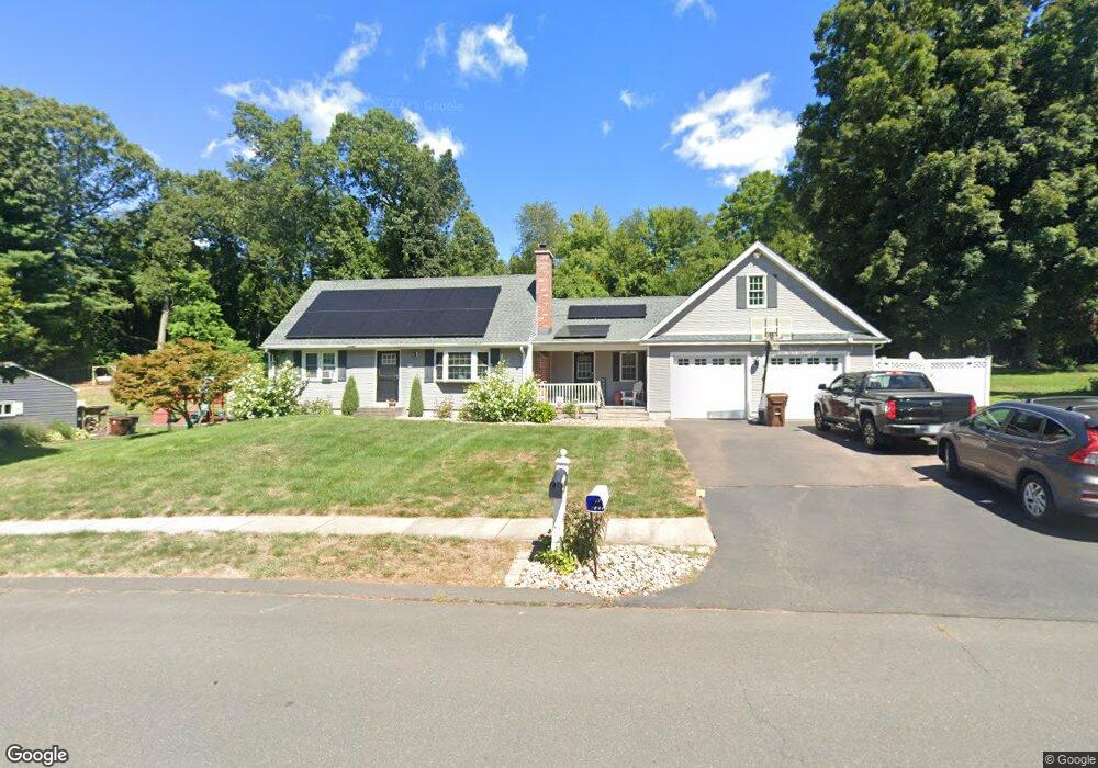
19 Monroe Rd Enfield, CT 06082
Estimated Value: $399,000 - $482,000
4
Beds
2
Baths
1,997
Sq Ft
$212/Sq Ft
Est. Value
About This Home
This home is located at 19 Monroe Rd, Enfield, CT 06082 and is currently estimated at $423,357, approximately $211 per square foot. 19 Monroe Rd is a home located in Hartford County with nearby schools including Nathan Hale Elementary School, Eli Whitney Elementary School, and John F. Kennedy Middle School.
Ownership History
Date
Name
Owned For
Owner Type
Purchase Details
Closed on
Feb 3, 2006
Sold by
Landry Shawn and Landry Barbara
Bought by
Sampson William and Sampson Gina
Current Estimated Value
Home Financials for this Owner
Home Financials are based on the most recent Mortgage that was taken out on this home.
Original Mortgage
$228,000
Interest Rate
6.31%
Purchase Details
Closed on
Mar 24, 2000
Sold by
Navin Kristine
Bought by
Landry Shawn and Landry Barbara
Home Financials for this Owner
Home Financials are based on the most recent Mortgage that was taken out on this home.
Original Mortgage
$115,100
Interest Rate
7.08%
Create a Home Valuation Report for This Property
The Home Valuation Report is an in-depth analysis detailing your home's value as well as a comparison with similar homes in the area
Home Values in the Area
Average Home Value in this Area
Purchase History
| Date | Buyer | Sale Price | Title Company |
|---|---|---|---|
| Sampson William | $285,000 | -- | |
| Landry Shawn | $127,900 | -- |
Source: Public Records
Mortgage History
| Date | Status | Borrower | Loan Amount |
|---|---|---|---|
| Open | Landry Shawn | $198,000 | |
| Closed | Landry Shawn | $228,000 | |
| Closed | Landry Shawn | $57,000 | |
| Previous Owner | Landry Shawn | $115,100 |
Source: Public Records
Tax History Compared to Growth
Tax History
| Year | Tax Paid | Tax Assessment Tax Assessment Total Assessment is a certain percentage of the fair market value that is determined by local assessors to be the total taxable value of land and additions on the property. | Land | Improvement |
|---|---|---|---|---|
| 2025 | $7,754 | $220,900 | $63,800 | $157,100 |
| 2024 | $7,469 | $220,900 | $63,800 | $157,100 |
| 2023 | $7,420 | $221,100 | $63,800 | $157,300 |
| 2022 | $6,830 | $221,100 | $63,800 | $157,300 |
| 2021 | $6,571 | $174,910 | $55,130 | $119,780 |
| 2020 | $6,260 | $167,740 | $55,130 | $112,610 |
| 2019 | $6,252 | $167,740 | $55,130 | $112,610 |
| 2018 | $5,923 | $163,300 | $55,130 | $108,170 |
| 2017 | $5,289 | $155,190 | $55,130 | $100,060 |
| 2016 | $5,406 | $162,050 | $55,130 | $106,920 |
| 2015 | $5,241 | $162,050 | $55,130 | $106,920 |
| 2014 | $5,109 | $162,050 | $55,130 | $106,920 |
Source: Public Records
Map
Nearby Homes
- 45 Monroe Rd
- 12 Salerno Dr
- 34 Ridgefield Rd
- 287 Hazard Ave
- 6 Cedar St
- 5 Michael Dr
- 56 N Maple St
- 23 Clear St
- 8 Sapphire St
- 70 Fletcher Rd
- 83 Oldefield Farms Unit 83
- 85 Oldefield Farms Unit 85
- 28 Eileen Ln
- 3 Avon Street Extension
- 53 Kimberly Dr
- 84 Raffia Rd
- 233 Post Office Rd
- 10-1/2 South Rd
- 102 N Maple St Unit 1A
- 46 Beech Rd