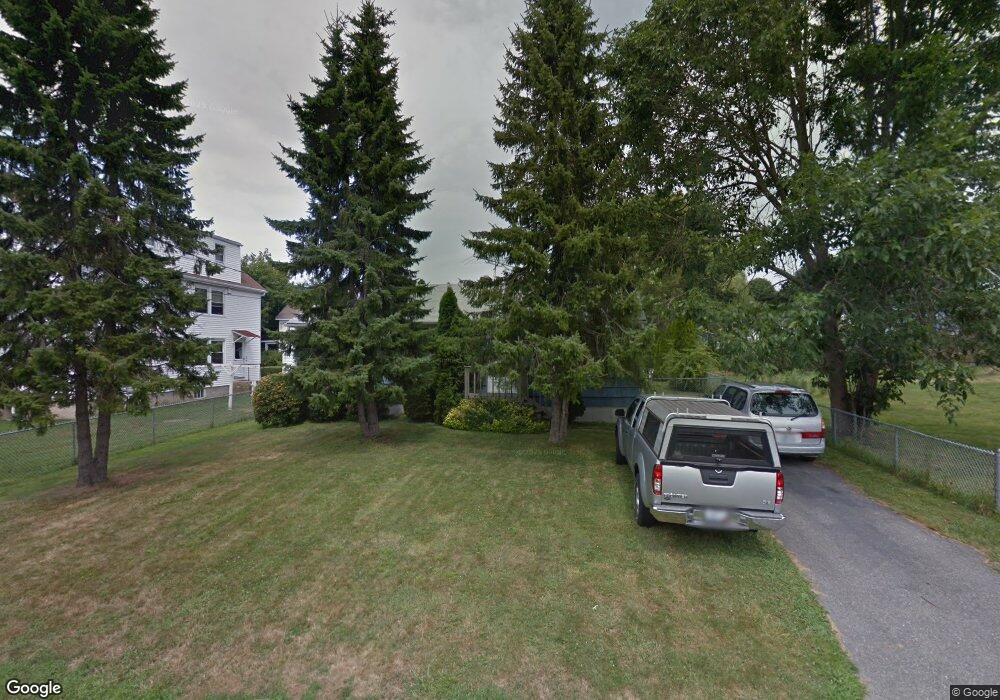
19 Orchard Ave Middletown, RI 02842
Estimated Value: $824,560 - $1,098,000
3
Beds
2
Baths
1,240
Sq Ft
$779/Sq Ft
Est. Value
About This Home
This home is located at 19 Orchard Ave, Middletown, RI 02842 and is currently estimated at $966,140, approximately $779 per square foot. 19 Orchard Ave is a home located in Newport County with nearby schools including Middletown High School, St Michael's Country Day School, and St George's School.
Ownership History
Date
Name
Owned For
Owner Type
Purchase Details
Closed on
Mar 9, 2021
Sold by
William H Shields 3Rd Ret
Bought by
King John F and King Patricia M
Current Estimated Value
Purchase Details
Closed on
Jul 10, 2019
Sold by
Shields William H and Shields Michael W
Bought by
William H Shields 3Rd Irt
Create a Home Valuation Report for This Property
The Home Valuation Report is an in-depth analysis detailing your home's value as well as a comparison with similar homes in the area
Home Values in the Area
Average Home Value in this Area
Purchase History
| Date | Buyer | Sale Price | Title Company |
|---|---|---|---|
| King John F | $456,000 | None Available | |
| William H Shields 3Rd Irt | -- | -- |
Source: Public Records
Tax History Compared to Growth
Tax History
| Year | Tax Paid | Tax Assessment Tax Assessment Total Assessment is a certain percentage of the fair market value that is determined by local assessors to be the total taxable value of land and additions on the property. | Land | Improvement |
|---|---|---|---|---|
| 2025 | $9,212 | $781,300 | $621,500 | $159,800 |
| 2024 | $8,797 | $781,300 | $621,500 | $159,800 |
| 2023 | $5,871 | $466,300 | $332,700 | $133,600 |
| 2022 | $5,499 | $457,500 | $332,700 | $124,800 |
| 2021 | $5,499 | $457,500 | $332,700 | $124,800 |
| 2020 | $4,828 | $350,900 | $222,600 | $128,300 |
| 2018 | $4,825 | $350,900 | $222,600 | $128,300 |
| 2016 | $4,299 | $278,800 | $160,300 | $118,500 |
| 2015 | $4,193 | $278,800 | $160,300 | $118,500 |
| 2014 | $4,363 | $271,500 | $145,600 | $125,900 |
| 2013 | $4,265 | $271,500 | $145,600 | $125,900 |
Source: Public Records
Map
Nearby Homes
- 162 Center Ave
- 84 Allston Ave
- 118 Wolcott Ave
- 65 Seascape Ave
- 0 Wolcott Ave
- 140 Tuckerman Ave
- 4 James St
- 55 John Clarke Rd Unit 8
- 55 John Clarke Rd Unit 3
- 141 Gray Craig Rd
- 129 Bliss Mine Rd
- 78 Ellery Rd
- 36 Kay Blvd
- 0 Honeyman Ave
- 476 Green End Ave
- 16 Sachuest Dr
- 128 Eustis Ave
- 138 Green End Ave
- 0 Saltwood Dr
- 103 Champlin Place N
- 147 Center Ave
- 147 Center Ave Unit 3
- 147 Center Ave Unit 2
- 147 Center Ave Unit 1
- 157 Center Ave
- 211 Wolcott Ave
- 211 Wolcott Ave Unit 1
- 163 Center Ave
- 18 Orchard Ave Unit 20
- 219 Wolcott Ave
- 10 Orchard Ave
- 203 Wolcott Ave
- 146 Center Ave
- 229 Wolcott Ave
- 167 Center Ave
- 156 Center Ave
- 128 Center Ave
- 127 Center Ave
- 132 Center Ave
- 241 Wolcott Ave