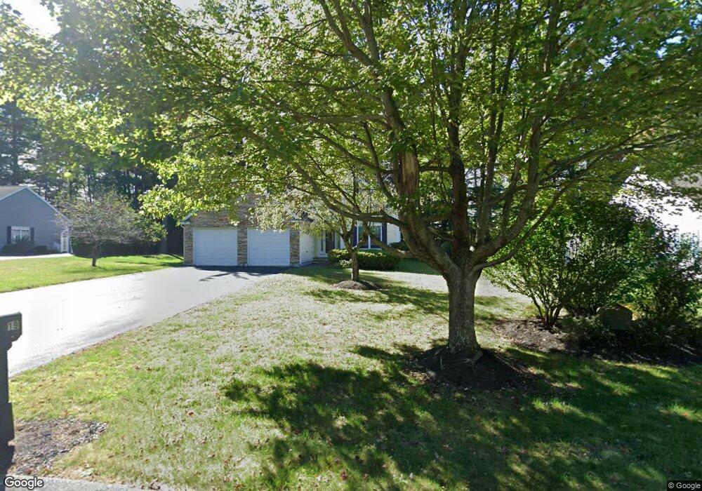
19 Shannon Way Lancaster, MA 01523
Estimated Value: $587,000 - $654,000
2
Beds
2
Baths
1,700
Sq Ft
$358/Sq Ft
Est. Value
About This Home
This home is located at 19 Shannon Way, Lancaster, MA 01523 and is currently estimated at $608,786, approximately $358 per square foot. 19 Shannon Way is a home located in Worcester County with nearby schools including Mary Rowlandson Elementary School, Luther Burbank Middle School, and Nashoba Regional High School.
Ownership History
Date
Name
Owned For
Owner Type
Purchase Details
Closed on
Nov 3, 2023
Sold by
Macewan Craig A and Macewan Robert B
Bought by
Macewan Craig A
Current Estimated Value
Purchase Details
Closed on
Feb 5, 2013
Sold by
Macewan Shirley E
Bought by
Macewan 3Rd Robert B and Macewan Craig A
Purchase Details
Closed on
May 30, 2003
Sold by
Eagle Estates Llc
Bought by
Macewan Robert B and Macewan Shirley E
Create a Home Valuation Report for This Property
The Home Valuation Report is an in-depth analysis detailing your home's value as well as a comparison with similar homes in the area
Home Values in the Area
Average Home Value in this Area
Purchase History
| Date | Buyer | Sale Price | Title Company |
|---|---|---|---|
| Macewan Craig A | -- | None Available | |
| Macewan Craig A | -- | None Available | |
| Macewan 3Rd Robert B | -- | -- | |
| Macewan Robert B | $319,900 | -- | |
| Macewan 3Rd Robert B | -- | -- | |
| Macewan Robert B | $319,900 | -- |
Source: Public Records
Tax History Compared to Growth
Tax History
| Year | Tax Paid | Tax Assessment Tax Assessment Total Assessment is a certain percentage of the fair market value that is determined by local assessors to be the total taxable value of land and additions on the property. | Land | Improvement |
|---|---|---|---|---|
| 2025 | $8,109 | $501,800 | $67,000 | $434,800 |
| 2024 | $7,909 | $453,000 | $53,700 | $399,300 |
| 2023 | $0 | $425,400 | $49,700 | $375,700 |
| 2022 | $7,185 | $369,400 | $84,000 | $285,400 |
| 2021 | $6,955 | $348,100 | $84,000 | $264,100 |
| 2020 | $6,781 | $341,600 | $65,500 | $276,100 |
| 2019 | $6,676 | $338,000 | $94,400 | $243,600 |
| 2018 | $6,016 | $301,100 | $94,400 | $206,700 |
| 2016 | $6,307 | $322,600 | $137,800 | $184,800 |
| 2015 | $5,969 | $318,200 | $137,800 | $180,400 |
| 2014 | $5,959 | $315,100 | $137,800 | $177,300 |
Source: Public Records
Map
Nearby Homes
- 1116 George Hill Rd
- 54 S Meadow Rd
- 290 Sterling St
- 19 Magnolia Ave
- 0 Parker Rd
- 85 Prescott St
- 96 Clinton Rd
- 0 Brockelman Rd Unit 73424117
- 23 Bennett Ln
- 29 Bennett Ln
- 92 Mill St
- 136 Mill St
- 51 Rigby St
- 22 Forest Ave
- 132 Kilbourn Rd
- 1 Grady St
- 53 Beach Point Rd
- 201-203 Stone St
- 201 Stone St Unit 203
- 19 Fitch Farm Rd
- 19 Shannon Way
- 11 Shannon Way
- 23 Shannon St Unit 12
- 27 Shannon Way
- 35 Mary Catherine Dr
- 41 Shannon Way
- 73 Mary Catherine Dr
- 42 Shannon Way
- 42 Shannon Way
- 36 Mary Catherine Dr
- 44 Mary Catherine Dr
- 36 Mary Catherine Dr
- 52 Mary Catherine Dr
- 199 Nicholas at Eagle Ridge
- 50 Shannon Way
- 28 Mary Catherine Dr
- 81 Mary Catherine Dr
- 61 Shannon Way
- 58 Shannon Way
- 91 Mary Catherine Dr