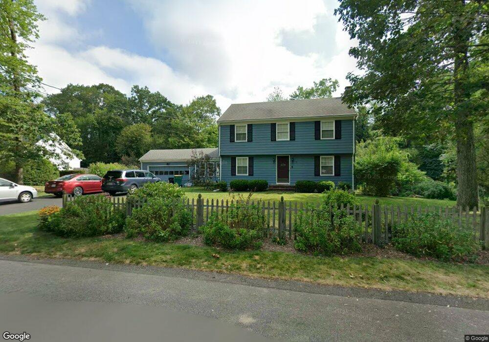
19 Stone Hill Rd North Attleboro, MA 02760
North Attleboro NeighborhoodEstimated Value: $648,593 - $767,000
4
Beds
2
Baths
1,802
Sq Ft
$381/Sq Ft
Est. Value
About This Home
This home is located at 19 Stone Hill Rd, North Attleboro, MA 02760 and is currently estimated at $686,398, approximately $380 per square foot. 19 Stone Hill Rd is a home located in Bristol County with nearby schools including North Attleboro High School, Cadence Academy Preschool - North Attleborough, and Bishop Feehan High School.
Ownership History
Date
Name
Owned For
Owner Type
Purchase Details
Closed on
Nov 29, 2010
Sold by
Nelson Kenneth E
Bought by
Disalvio Daniel K and Disalvio Jennifer L
Current Estimated Value
Home Financials for this Owner
Home Financials are based on the most recent Mortgage that was taken out on this home.
Original Mortgage
$277,000
Outstanding Balance
$183,288
Interest Rate
4.25%
Mortgage Type
Purchase Money Mortgage
Estimated Equity
$503,110
Create a Home Valuation Report for This Property
The Home Valuation Report is an in-depth analysis detailing your home's value as well as a comparison with similar homes in the area
Home Values in the Area
Average Home Value in this Area
Purchase History
| Date | Buyer | Sale Price | Title Company |
|---|---|---|---|
| Disalvio Daniel K | $300,000 | -- |
Source: Public Records
Mortgage History
| Date | Status | Borrower | Loan Amount |
|---|---|---|---|
| Open | Disalvio Daniel K | $277,000 |
Source: Public Records
Tax History Compared to Growth
Tax History
| Year | Tax Paid | Tax Assessment Tax Assessment Total Assessment is a certain percentage of the fair market value that is determined by local assessors to be the total taxable value of land and additions on the property. | Land | Improvement |
|---|---|---|---|---|
| 2025 | $6,039 | $512,200 | $129,900 | $382,300 |
| 2024 | $6,091 | $527,800 | $136,400 | $391,400 |
| 2023 | $5,842 | $456,800 | $136,400 | $320,400 |
| 2022 | $5,714 | $410,200 | $149,400 | $260,800 |
| 2021 | $5,767 | $404,100 | $168,900 | $235,200 |
| 2020 | $5,608 | $390,800 | $162,400 | $228,400 |
| 2019 | $5,228 | $367,100 | $135,900 | $231,200 |
| 2018 | $3,711 | $353,400 | $135,900 | $217,500 |
| 2017 | $3,572 | $353,400 | $135,900 | $217,500 |
| 2016 | $4,497 | $340,200 | $157,400 | $182,800 |
| 2015 | $4,586 | $349,000 | $177,100 | $171,900 |
| 2014 | $4,181 | $315,800 | $143,900 | $171,900 |
Source: Public Records
Map
Nearby Homes
- 15 Old Wood Rd
- 16 Raymond Hall Dr
- 10 Sleepy Hollow Cir
- 116 George St
- 11 Landry Ave
- Lot 5 Jeffrey Dr
- 57 Vine St
- Lot 2 Jeffrey Dr
- 2 George St Unit C
- 9 Sunnyside Dr Unit 9
- 28 Messenger St
- 166 E Bacon St Unit 4
- 12 Houde St
- 33 Dublin Way
- 2 Woodridge St Unit 2
- 3 Serengeti Dr
- 4 Garden Ln
- 115 Westfield Dr
- 6 Hilltop Rd Unit 122
- 1066 Mount Hope St
- 29 Stone Hill Rd
- 112 Oak Crest Dr
- 7 Stone Hill Rd
- 108 Oak Crest Dr
- 14 Stone Hill Rd
- 26 Stone Hill Rd
- 110 Raymond Hall Dr
- 107 Oak Crest Dr
- 39 Stone Hill Rd
- 4 Stone Hill Rd
- 38 Stone Hill Rd
- 100 Oak Crest Dr
- 19 Newell Dr
- 29 Newell Dr
- 23 Briar Ln
- 99 Oak Crest Dr
- 98 Raymond Hall Dr
- 41 Newell Dr
- 140 Raymond Hall Dr
- 49 Stone Hill Rd