Estimated Value: $840,644 - $955,000
4
Beds
2
Baths
1,971
Sq Ft
$453/Sq Ft
Est. Value
About This Home
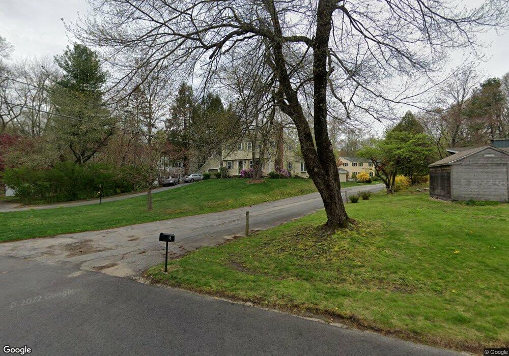
This home is located at 19 Vanderbelt Rd, Acton, MA 01720 and is currently estimated at $892,911, approximately $453 per square foot. 19 Vanderbelt Rd is a home located in Middlesex County with nearby schools including Acton-Boxborough Regional High School, Maynard Knowledge Beginnings, and The Imago School.
Ownership History
Date
Name
Owned For
Owner Type
Purchase Details
Closed on
Oct 18, 2011
Sold by
Cullen James and Cullen Kathryn
Bought by
Solio Kathryn M
Current Estimated Value
Purchase Details
Closed on
Aug 29, 1997
Sold by
Corrieri John and Corrieri Susan
Bought by
Cullen James and Cullen Kathryn
Home Financials for this Owner
Home Financials are based on the most recent Mortgage that was taken out on this home.
Original Mortgage
$207,000
Interest Rate
7.41%
Mortgage Type
Purchase Money Mortgage
Purchase Details
Closed on
Mar 29, 1996
Sold by
Fleishmann Thomas R and Fleishmann Phyllis H
Bought by
Corrieri John and Corrieri Susan
Home Financials for this Owner
Home Financials are based on the most recent Mortgage that was taken out on this home.
Original Mortgage
$207,000
Interest Rate
6.9%
Mortgage Type
Purchase Money Mortgage
Create a Home Valuation Report for This Property
The Home Valuation Report is an in-depth analysis detailing your home's value as well as a comparison with similar homes in the area
Home Values in the Area
Average Home Value in this Area
Purchase History
| Date | Buyer | Sale Price | Title Company |
|---|---|---|---|
| Solio Kathryn M | -- | -- | |
| Cullen James | $259,900 | -- | |
| Corrieri John | $230,000 | -- |
Source: Public Records
Mortgage History
| Date | Status | Borrower | Loan Amount |
|---|---|---|---|
| Previous Owner | Corrieri John | $100,000 | |
| Previous Owner | Corrieri John | $207,000 | |
| Previous Owner | Corrieri John | $207,000 |
Source: Public Records
Tax History Compared to Growth
Tax History
| Year | Tax Paid | Tax Assessment Tax Assessment Total Assessment is a certain percentage of the fair market value that is determined by local assessors to be the total taxable value of land and additions on the property. | Land | Improvement |
|---|---|---|---|---|
| 2025 | $12,808 | $746,800 | $342,100 | $404,700 |
| 2024 | $12,017 | $720,900 | $342,100 | $378,800 |
| 2023 | $11,700 | $666,300 | $311,500 | $354,800 |
| 2022 | $11,081 | $569,700 | $270,800 | $298,900 |
| 2021 | $10,789 | $533,300 | $250,400 | $282,900 |
| 2020 | $10,342 | $537,500 | $250,400 | $287,100 |
| 2019 | $9,815 | $506,700 | $250,400 | $256,300 |
| 2018 | $9,663 | $498,600 | $250,400 | $248,200 |
| 2017 | $9,425 | $494,500 | $250,400 | $244,100 |
| 2016 | $9,275 | $482,300 | $250,400 | $231,900 |
| 2015 | $9,228 | $484,400 | $250,400 | $234,000 |
| 2014 | $8,974 | $461,400 | $250,400 | $211,000 |
Source: Public Records
Map
Nearby Homes
- 70 River St
- 128 Audubon Dr
- 8 Laurel Ct
- 86 School St
- 2 Clover Hill Rd
- 12 Brewster Ln
- 118 Parker St Unit 16
- 5 Oakwood Rd
- 40 High St
- 128 Parker St Unit 3B
- 132 Parker St Unit G5
- 129 Main St Unit 129
- 129 Main St
- 131 Main St
- 19 Railroad St Unit C2
- 169 Main St
- 25 Main St
- 1 Maillet Dr
- 65 Summit St
- 20 Tremont St
- 21 Vanderbelt Rd
- 13 Vanderbelt Rd
- 17 Vanderbelt Rd
- 11 Vanderbelt Rd
- 14 Vanderbelt Rd
- 15 Vanderbelt Rd
- 18 Vanderbelt Rd
- 7 Vanderbelt Rd
- 10 Merriam Ln
- 12 Vanderbelt Rd
- 9 Vanderbelt Rd
- 5 Vanderbelt Rd
- 22 Olde Surrey Dr
- 20 Olde Surrey Dr
- 10 Vanderbelt Rd
- 11 Merriam Ln
- 95 River St
- 1 Vanderbelt Rd
- 18 Olde Surrey Dr
- 8 Vanderbelt Rd