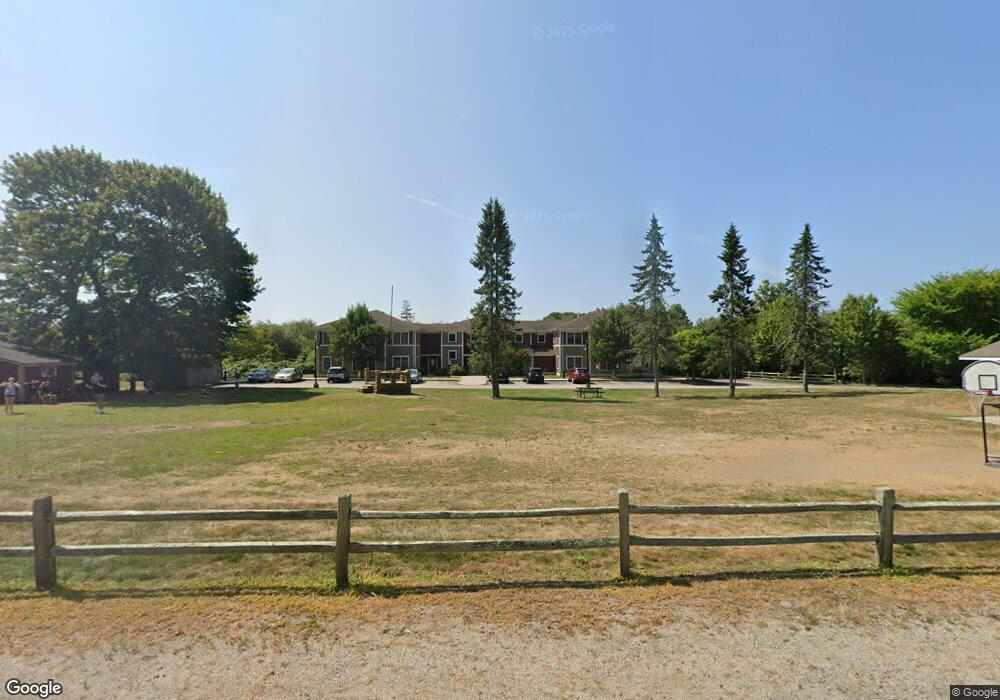
190 Clarke Rd Unit B205 Narragansett, RI 02882
Estimated Value: $299,000 - $544,000
2
Beds
1
Bath
1,073
Sq Ft
$392/Sq Ft
Est. Value
About This Home
This home is located at 190 Clarke Rd Unit B205, Narragansett, RI 02882 and is currently estimated at $420,308, approximately $391 per square foot. 190 Clarke Rd Unit B205 is a home located in Washington County with nearby schools including Narragansett Elementary School, Narragansett Pier Middle School, and Narragansett High School.
Ownership History
Date
Name
Owned For
Owner Type
Purchase Details
Closed on
Feb 2, 2021
Sold by
Peggy A Field Lt
Bought by
Canavan Catherine
Current Estimated Value
Purchase Details
Closed on
Apr 16, 2018
Sold by
Field Peggy A
Bought by
Field Peggy A
Purchase Details
Closed on
Dec 16, 2009
Sold by
Hsn Narraganset Afford
Bought by
Field Peggy A
Create a Home Valuation Report for This Property
The Home Valuation Report is an in-depth analysis detailing your home's value as well as a comparison with similar homes in the area
Home Values in the Area
Average Home Value in this Area
Purchase History
| Date | Buyer | Sale Price | Title Company |
|---|---|---|---|
| Canavan Catherine | $246,000 | None Available | |
| Field Peggy A | -- | -- | |
| Field Peggy A | $210,000 | -- |
Source: Public Records
Tax History Compared to Growth
Tax History
| Year | Tax Paid | Tax Assessment Tax Assessment Total Assessment is a certain percentage of the fair market value that is determined by local assessors to be the total taxable value of land and additions on the property. | Land | Improvement |
|---|---|---|---|---|
| 2025 | $1,749 | $257,656 | $0 | $257,656 |
| 2024 | $1,688 | $257,656 | $0 | $257,656 |
| 2023 | $2,581 | $277,265 | $0 | $277,265 |
| 2022 | $2,495 | $277,265 | $0 | $277,265 |
| 2021 | $2,457 | $277,265 | $0 | $277,265 |
| 2020 | $2,166 | $206,700 | $0 | $206,700 |
| 2019 | $2,115 | $206,700 | $0 | $206,700 |
| 2018 | $2,057 | $206,700 | $0 | $206,700 |
| 2017 | $1,717 | $162,600 | $0 | $162,600 |
| 2016 | $1,639 | $162,600 | $0 | $162,600 |
| 2015 | $1,616 | $162,600 | $0 | $162,600 |
| 2014 | $2,108 | $210,000 | $0 | $210,000 |
Source: Public Records
Map
Nearby Homes
- 660 Point Judith Rd Unit D2
- 580 Point Judith Rd
- 576 Point Judith Rd
- 2 Bristol Rd
- 60 Daytona Ave
- 62 Daytona Ave
- 813 Ocean Rd
- 64 Burnside Ave
- 815 Ocean Rd
- 45 Durkin Dr
- 18 Greenbrier Rd
- 6 Pendleton Place
- 17 Goose Island Rd
- 103 Cedar Island Rd
- 8 Pocono Rd
- 0 Point Judith Rd
- 25 Scallop Shell Rd
- 0 Hazard Ave
- 0 Houston Ave
- 0 Hemlock Ave
- 190 Clarke Rd Unit B204
- 190 Clarke Rd Unit B203
- 190 Clarke Rd Unit B202
- 190 Clarke Rd Unit B201
- 190 Clarke Rd Unit B105
- 190 Clarke Rd Unit B104
- 190 Clarke Rd Unit B103
- 190 Clarke Rd Unit B102
- 190 Clarke Rd Unit B101
- 190 Clarke Rd Unit 203B
- 190 Clarke Rd Unit 205
- 190 Clarke Rd Unit 1
- 190 Clarke Rd Unit 101B
- 16 Lindsley Dr
- 8 Lindsley Dr
- 650 Point Judith Rd
- 200 Clarke Rd Unit A310
- 200 Clarke Rd Unit A309
- 200 Clarke Rd Unit A308
- 200 Clarke Rd Unit A307