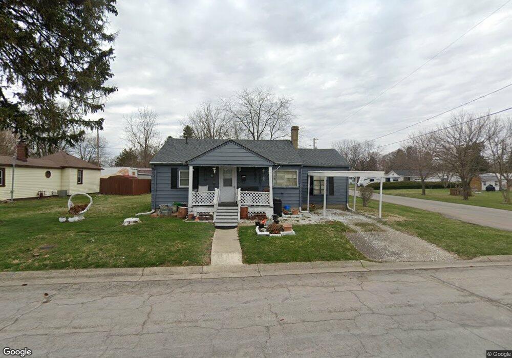
1901 Norwood Ave Springfield, OH 45506
Estimated Value: $77,000 - $117,000
2
Beds
1
Bath
888
Sq Ft
$100/Sq Ft
Est. Value
About This Home
This home is located at 1901 Norwood Ave, Springfield, OH 45506 and is currently estimated at $88,937, approximately $100 per square foot. 1901 Norwood Ave is a home located in Clark County with nearby schools including Fulton Elementary School, Hayward Middle School, and Springfield High School.
Ownership History
Date
Name
Owned For
Owner Type
Purchase Details
Closed on
Apr 18, 2025
Sold by
Whatley Fredrick E Lee and Whatley Cheyenne
Bought by
Prime Re Investments Llc
Current Estimated Value
Purchase Details
Closed on
Feb 15, 2022
Sold by
Evelyn M Brown Revocable Living Trust
Bought by
Whatley Fredrick E Lee
Purchase Details
Closed on
May 24, 1999
Sold by
Morrow Joseph
Bought by
Brown Evelyn
Home Financials for this Owner
Home Financials are based on the most recent Mortgage that was taken out on this home.
Original Mortgage
$32,636
Interest Rate
7.06%
Mortgage Type
Purchase Money Mortgage
Purchase Details
Closed on
Dec 18, 1998
Sold by
Hud
Bought by
Morrow Joseph
Purchase Details
Closed on
Oct 23, 1997
Sold by
Jenkins Columbus
Bought by
Hud
Create a Home Valuation Report for This Property
The Home Valuation Report is an in-depth analysis detailing your home's value as well as a comparison with similar homes in the area
Home Values in the Area
Average Home Value in this Area
Purchase History
| Date | Buyer | Sale Price | Title Company |
|---|---|---|---|
| Prime Re Investments Llc | -- | Safe Hands Title | |
| Whatley Fredrick E Lee | $45,000 | Team Title & Closing Services | |
| Brown Evelyn | $40,000 | -- | |
| Morrow Joseph | -- | -- | |
| Hud | $24,000 | -- |
Source: Public Records
Mortgage History
| Date | Status | Borrower | Loan Amount |
|---|---|---|---|
| Previous Owner | Brown Evelyn | $32,636 |
Source: Public Records
Tax History Compared to Growth
Tax History
| Year | Tax Paid | Tax Assessment Tax Assessment Total Assessment is a certain percentage of the fair market value that is determined by local assessors to be the total taxable value of land and additions on the property. | Land | Improvement |
|---|---|---|---|---|
| 2024 | $892 | $11,940 | $3,220 | $8,720 |
| 2023 | $576 | $11,940 | $3,220 | $8,720 |
| 2022 | $158 | $11,940 | $3,220 | $8,720 |
| 2021 | $22 | $9,160 | $2,460 | $6,700 |
| 2020 | $22 | $9,160 | $2,460 | $6,700 |
| 2019 | $22 | $9,160 | $2,460 | $6,700 |
| 2018 | $14 | $8,220 | $2,460 | $5,760 |
| 2017 | $14 | $8,219 | $2,461 | $5,758 |
| 2016 | $14 | $8,219 | $2,461 | $5,758 |
| 2015 | $15 | $8,219 | $2,461 | $5,758 |
| 2014 | $15 | $8,219 | $2,461 | $5,758 |
| 2013 | $14 | $8,219 | $2,461 | $5,758 |
Source: Public Records
Map
Nearby Homes
- 2002 Scioto St
- 1010 Heard Ave
- 2224 Duquesne Dr
- 1421 Seminole Ave
- 1515 W Perrin Ave
- 924 W State St
- 1730 Damascus Ave
- 427 Rosewood Ave
- 1109 Montgomery Ave
- 1216 Innisfallen Ave
- 929 S Western Ave
- 424 W State St
- 506 W Southern Ave
- 208 Corlington Dr
- 642 W Euclid Ave
- 409 W Southern Ave
- 1603 W Wittenberg Blvd
- 1201 Dibert Ave
- 416 W Southern Ave
- 830 Dibert Ave
- 1909 Norwood Ave
- 1919 Norwood Ave
- 1851 Norwood Ave
- 1902 Norwood Ave
- 1910 Norwood Ave
- 1920 Russell Ave
- 1925 Norwood Ave
- 1170 Mccain Ave
- 1916 Norwood Ave
- 1848 Norwood Ave
- 1815 Russell Ave
- 1924 Russell Ave
- 1841 Norwood Ave
- 1905 Russell Ave
- 1973 Norwood Ave
- 1973 Norwood Ave
- 1840 Norwood Ave
- 1926 Norwood Ave
- 1951 Springmont Ave
- 1951 Springmont Ave