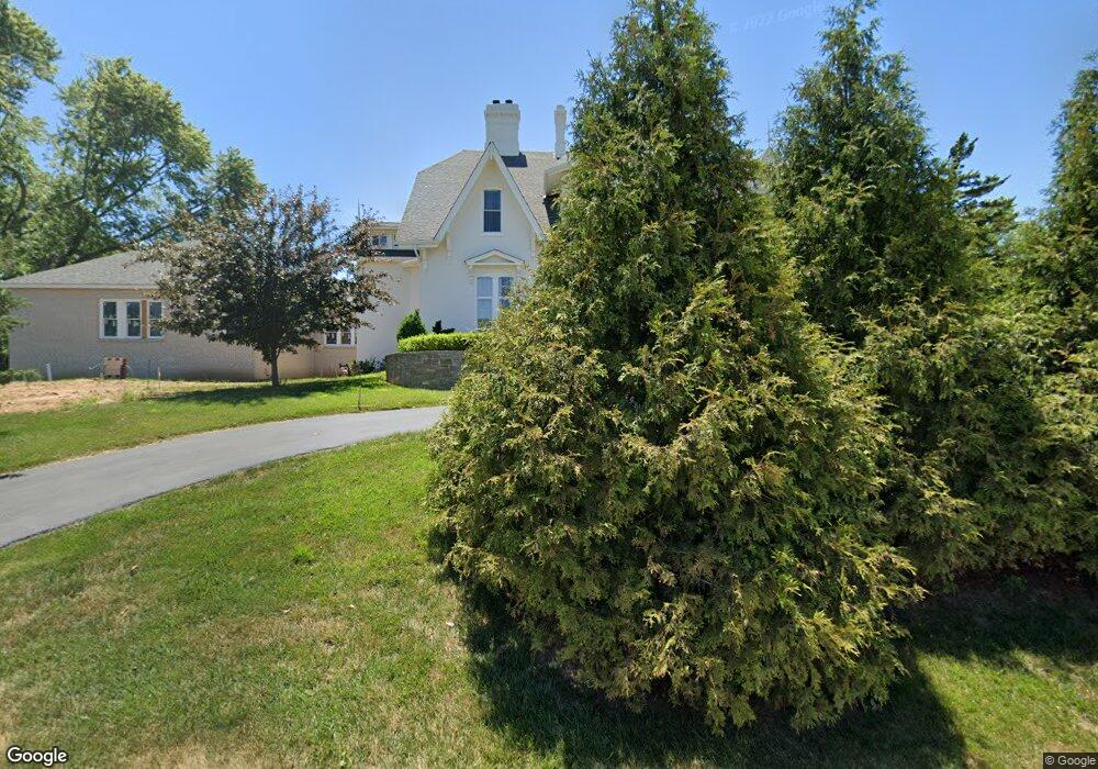
1901 Parkton Way Barnhart, MO 63012
Estimated Value: $490,000 - $615,186
5
Beds
3
Baths
4,513
Sq Ft
$119/Sq Ft
Est. Value
About This Home
This home is located at 1901 Parkton Way, Barnhart, MO 63012 and is currently estimated at $536,729, approximately $118 per square foot. 1901 Parkton Way is a home located in Jefferson County with nearby schools including Windsor High School and St. Joseph Catholic School.
Ownership History
Date
Name
Owned For
Owner Type
Purchase Details
Closed on
Nov 3, 2014
Sold by
Nason Donald C and Nason Constance D
Bought by
Bax Michael D and Bax Rebecca A
Current Estimated Value
Purchase Details
Closed on
Feb 27, 2001
Sold by
Smith Michael R and Smith Betteanne E
Bought by
Nason Donald C and Nason Constance D
Home Financials for this Owner
Home Financials are based on the most recent Mortgage that was taken out on this home.
Original Mortgage
$198,000
Interest Rate
7.19%
Create a Home Valuation Report for This Property
The Home Valuation Report is an in-depth analysis detailing your home's value as well as a comparison with similar homes in the area
Home Values in the Area
Average Home Value in this Area
Purchase History
| Date | Buyer | Sale Price | Title Company |
|---|---|---|---|
| Bax Michael D | -- | Htc | |
| Nason Donald C | -- | Commonwealth Title |
Source: Public Records
Mortgage History
| Date | Status | Borrower | Loan Amount |
|---|---|---|---|
| Previous Owner | Nason Donald C | $198,000 |
Source: Public Records
Tax History Compared to Growth
Tax History
| Year | Tax Paid | Tax Assessment Tax Assessment Total Assessment is a certain percentage of the fair market value that is determined by local assessors to be the total taxable value of land and additions on the property. | Land | Improvement |
|---|---|---|---|---|
| 2025 | $8,046 | $121,400 | $4,800 | $116,600 |
| 2024 | $8,046 | $109,800 | $4,800 | $105,000 |
| 2023 | $8,046 | $109,800 | $4,800 | $105,000 |
| 2022 | $4,154 | $56,800 | $2,300 | $54,500 |
| 2021 | $4,157 | $56,800 | $2,300 | $54,500 |
| 2020 | $3,823 | $50,700 | $1,900 | $48,800 |
| 2019 | $3,819 | $50,700 | $1,900 | $48,800 |
| 2018 | $3,745 | $50,400 | $1,900 | $48,500 |
| 2017 | $3,546 | $49,600 | $1,900 | $47,700 |
| 2016 | $3,257 | $45,400 | $1,900 | $43,500 |
| 2015 | $3,249 | $45,400 | $1,900 | $43,500 |
| 2013 | -- | $43,700 | $1,900 | $41,800 |
Source: Public Records
Map
Nearby Homes
- 0 Hwy Mm Unit MAR24032005
- 1675 Old State Road M
- 2108 S Oaks Dr
- 2155 Catlin Ct
- 0 New Highway M Unit MAR25024234
- 7001 Wayles Dr
- 6625 Dry Creek Rd
- 6788 Haven Hill Rd
- 7075 Metropolitan Blvd
- 7056 Albermarle Ct
- 0 Highland Terrace
- 7062 Tuckahoe Ct
- 6 Huntleigh Woods
- 7255 Meriwether Ct
- 7098 Ridge Dr
- 2320 Castlegate Dr
- 7776 Locust Dr
- 6555 Pauline Ct
- 2153 Warwick Castle Dr
- 2110 Devonshire Dr
- 1909 Parkton Way
- 1912 Donnell Dr
- 090 +/- Acres West of Parkton
- 1915 Parkton Way
- 1916 Donnell Dr
- 1909 Parkton West Dr
- 1895 Marriott Ln
- 1900 Woods Cir
- 1900 The Woods Cir
- 1919 Parkton Way
- 1891 Marriott Ln
- 1888 Marriott Ln
- 1905 Parkton West Dr
- 1889 Marriott Ln
- 1925 Parkton Way
- 73 Donnell Lot Dr
- 1915 Donnell Dr
- 1914 Parkton Way
- 1920 Donnell Dr
- 1913 Parkton Dr W