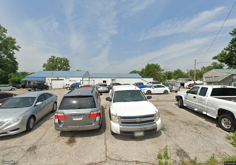
1903 Roby Ave Muscatine, IA 52761
Estimated Value: $254,408
--
Bed
--
Bath
2,430
Sq Ft
$105/Sq Ft
Est. Value
About This Home
This home is located at 1903 Roby Ave, Muscatine, IA 52761 and is currently estimated at $254,408, approximately $104 per square foot. 1903 Roby Ave is a home located in Muscatine County with nearby schools including Franklin Elementary School, Susan Clark Junior High School, and Muscatine High School.
Ownership History
Date
Name
Owned For
Owner Type
Purchase Details
Closed on
Jan 18, 2021
Sold by
Hhr Holdings Llc
Bought by
D & B Garage Llc
Current Estimated Value
Purchase Details
Closed on
Dec 9, 2020
Sold by
Weber Carla Jo and Weber Daniel J
Bought by
Hhr Holdings Llc
Purchase Details
Closed on
May 31, 2018
Sold by
Kerms Auto Sales Inc
Bought by
Weber Carla Jo
Purchase Details
Closed on
May 1, 2005
Sold by
Kerms Auto Sales Inc
Bought by
Hhr Holding Llc
Create a Home Valuation Report for This Property
The Home Valuation Report is an in-depth analysis detailing your home's value as well as a comparison with similar homes in the area
Home Values in the Area
Average Home Value in this Area
Purchase History
| Date | Buyer | Sale Price | Title Company |
|---|---|---|---|
| D & B Garage Llc | -- | None Available | |
| Hhr Holdings Llc | $195,500 | None Available | |
| Weber Carla Jo | -- | None Available | |
| Hhr Holding Llc | $195,194 | None Available |
Source: Public Records
Tax History Compared to Growth
Tax History
| Year | Tax Paid | Tax Assessment Tax Assessment Total Assessment is a certain percentage of the fair market value that is determined by local assessors to be the total taxable value of land and additions on the property. | Land | Improvement |
|---|---|---|---|---|
| 2025 | $3,276 | $165,610 | $17,080 | $148,530 |
| 2024 | $3,276 | $166,180 | $17,080 | $149,100 |
| 2023 | $3,294 | $153,780 | $17,080 | $136,700 |
| 2022 | $2,142 | $158,370 | $17,080 | $141,290 |
| 2021 | $2,142 | $104,960 | $17,080 | $87,880 |
| 2020 | $2,206 | $104,040 | $17,080 | $86,960 |
| 2019 | $2,444 | $110,630 | $0 | $0 |
| 2018 | $2,410 | $110,630 | $0 | $0 |
| 2017 | $2,410 | $110,630 | $0 | $0 |
| 2016 | $2,502 | $110,630 | $0 | $0 |
| 2015 | $2,502 | $104,460 | $0 | $0 |
| 2014 | $2,378 | $104,460 | $0 | $0 |
Source: Public Records
Map
Nearby Homes
- 2108 Breese Ave
- LOTS 30-34 Evans St
- 111 Gilbert St
- 1903 Hershey Ave
- 2216 New Hampshire St
- 1827 Hershey Ave
- 1708 Schley Ave
- 1908 Sampson St
- 0 Towhead Island Unit 23-716
- 0 Parcel 1302108019 (Busch St)
- 1909 Wallace St
- 900 W 3rd St
- 1603 Lucas St
- 701 W Mississippi Dr
- 1055 Climer St
- 208 Fletcher Ave
- 2207 Lucas St
- 613 W 5th St
- LOT 17 Briman Prairie
- LOT 6 Pine Ridge
- 501 Division St
- 809 Liberty St
- 1910 Breese Ave
- 807 Liberty St
- 704 Division St
- 804 Division St
- 804 Division
- 1916 Breese Ave
- 805 Liberty St
- 1907 Roby Ave
- 812 Liberty St
- 810 Liberty St
- 1924 Breese Ave
- 803 Liberty St
- 117 White St
- 2004 Breese Ave
- 1903 Breese Ave
- 1907 Breese Ave
- 1901 Breese Ave
- 1909 Breese Ave