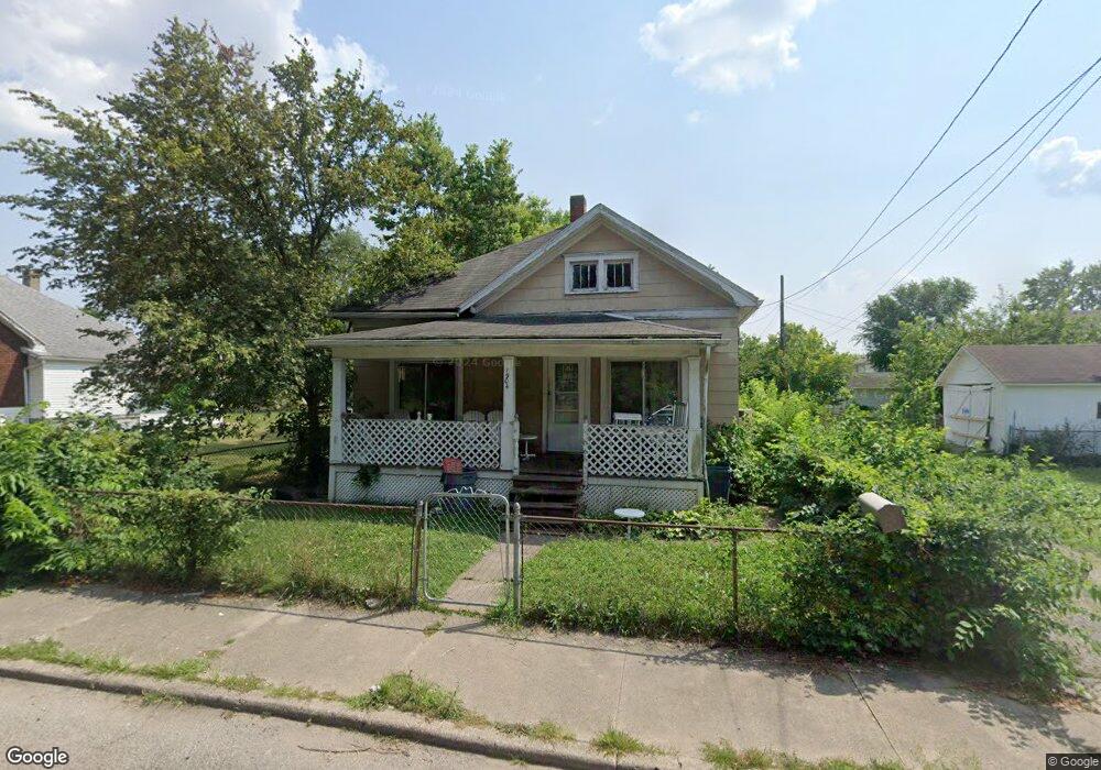
1904 Howard Ave Middletown, OH 45044
Sherman NeighborhoodEstimated Value: $97,000 - $138,000
3
Beds
1
Bath
952
Sq Ft
$126/Sq Ft
Est. Value
About This Home
This home is located at 1904 Howard Ave, Middletown, OH 45044 and is currently estimated at $119,866, approximately $125 per square foot. 1904 Howard Ave is a home located in Butler County with nearby schools including Amanda Elementary School, Highview 6th Grade Center, and Middletown Middle School.
Ownership History
Date
Name
Owned For
Owner Type
Purchase Details
Closed on
Apr 28, 2006
Sold by
Walters Kimberly Lynn
Bought by
Roberts Jesse D and Roberts Allison F
Current Estimated Value
Home Financials for this Owner
Home Financials are based on the most recent Mortgage that was taken out on this home.
Original Mortgage
$53,179
Outstanding Balance
$30,834
Interest Rate
6.42%
Mortgage Type
FHA
Estimated Equity
$89,032
Purchase Details
Closed on
Jun 1, 1985
Create a Home Valuation Report for This Property
The Home Valuation Report is an in-depth analysis detailing your home's value as well as a comparison with similar homes in the area
Home Values in the Area
Average Home Value in this Area
Purchase History
| Date | Buyer | Sale Price | Title Company |
|---|---|---|---|
| Roberts Jesse D | $38,900 | Midland Title Security Inc | |
| -- | $25,000 | -- |
Source: Public Records
Mortgage History
| Date | Status | Borrower | Loan Amount |
|---|---|---|---|
| Open | Roberts Jesse D | $53,179 |
Source: Public Records
Tax History Compared to Growth
Tax History
| Year | Tax Paid | Tax Assessment Tax Assessment Total Assessment is a certain percentage of the fair market value that is determined by local assessors to be the total taxable value of land and additions on the property. | Land | Improvement |
|---|---|---|---|---|
| 2024 | $1,185 | $19,790 | $4,940 | $14,850 |
| 2023 | $1,343 | $18,880 | $4,940 | $13,940 |
| 2022 | $947 | $16,290 | $4,940 | $11,350 |
| 2021 | $910 | $16,290 | $4,940 | $11,350 |
| 2020 | $948 | $16,290 | $4,940 | $11,350 |
| 2019 | $1,045 | $14,420 | $4,800 | $9,620 |
| 2018 | $910 | $14,420 | $4,800 | $9,620 |
| 2017 | $911 | $14,420 | $4,800 | $9,620 |
| 2016 | $862 | $13,070 | $4,800 | $8,270 |
| 2015 | $850 | $13,070 | $4,800 | $8,270 |
| 2014 | $1,129 | $13,070 | $4,800 | $8,270 |
| 2013 | $1,129 | $18,910 | $4,800 | $14,110 |
Source: Public Records
Map
Nearby Homes
- 319 Moore St
- 1814.5 Logan Ave
- 408 Moore St
- 410 Moore St
- 2016 Linden Ave
- 1814 Logan Ave
- 2007 Central Ave
- 2124 Sherman Ave
- 2112 Central Ave
- 2208 Superior Ave
- 401 S Sutphin St
- 407 S Sutphin St
- 2113 Central Ave
- 2115 Central Ave
- 2119 Central Ave
- 113 N Sutphin St
- 401 Garfield St
- 214 Garfield St
- 2109 Queen Ave
- 500 Garfield St
- 1908 Howard Ave
- 303 Crawford St
- 307 Crawford St
- 309 Crawford St
- 301 Crawford St
- 311 Crawford St
- 315 Crawford St
- 1907 Logan Ave
- 1909 Logan Ave
- 304 Moore St
- 302 Moore St
- 1911 Logan Ave
- 306 Moore St
- 209 Crawford St
- 317 Crawford St
- 300 Moore St
- 308 Moore St
- 1908 Arlington Ave
- 1910 Arlington Ave
- 319 Crawford St