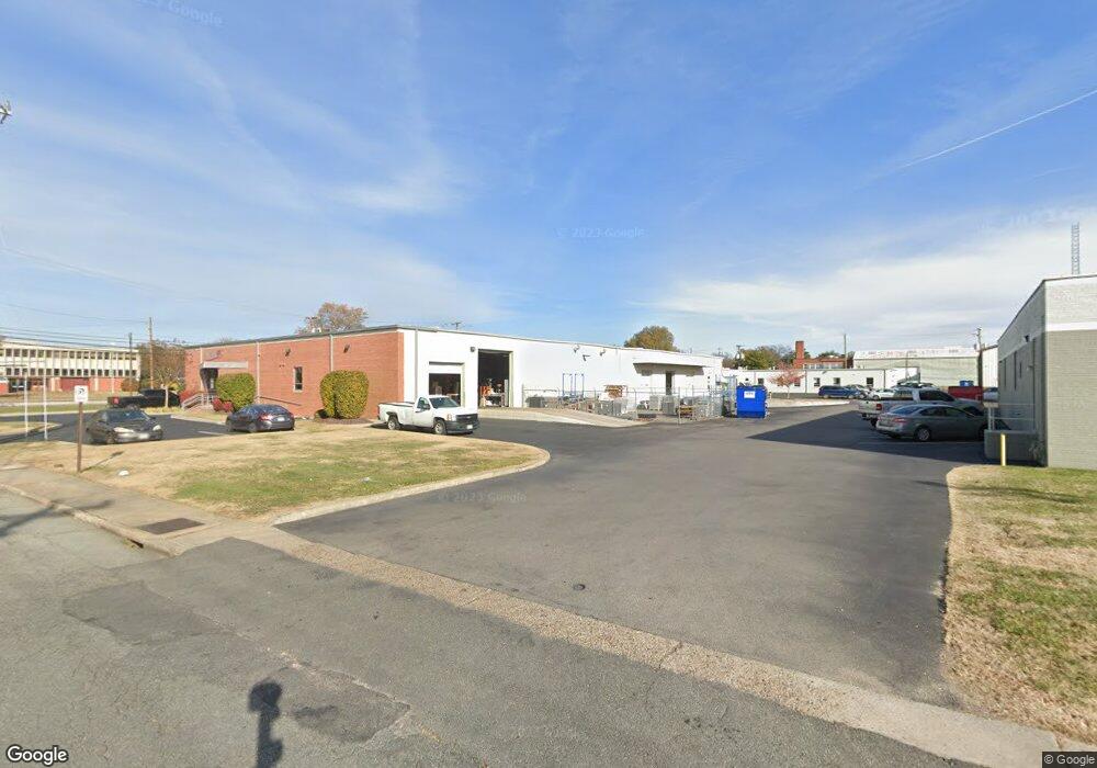
1905 Westwood Ave Richmond, VA 23227
The Diamond NeighborhoodEstimated Value: $2,883,097
--
Bed
--
Bath
31,851
Sq Ft
$91/Sq Ft
Est. Value
About This Home
This home is located at 1905 Westwood Ave, Richmond, VA 23227 and is currently priced at $2,883,097, approximately $90 per square foot. 1905 Westwood Ave is a home located in Richmond City with nearby schools including Linwood Holton Elementary School, Henderson Middle School, and John Marshall High School.
Ownership History
Date
Name
Owned For
Owner Type
Purchase Details
Closed on
Aug 1, 2014
Sold by
Franklin Sims Westwood Venture
Bought by
Aragon Group
Current Estimated Value
Home Financials for this Owner
Home Financials are based on the most recent Mortgage that was taken out on this home.
Original Mortgage
$1,450,000
Outstanding Balance
$1,106,860
Interest Rate
4.14%
Mortgage Type
Construction
Create a Home Valuation Report for This Property
The Home Valuation Report is an in-depth analysis detailing your home's value as well as a comparison with similar homes in the area
Home Values in the Area
Average Home Value in this Area
Purchase History
| Date | Buyer | Sale Price | Title Company |
|---|---|---|---|
| Aragon Group | $1,450,000 | -- |
Source: Public Records
Mortgage History
| Date | Status | Borrower | Loan Amount |
|---|---|---|---|
| Open | Aragon Group | $1,450,000 |
Source: Public Records
Tax History Compared to Growth
Tax History
| Year | Tax Paid | Tax Assessment Tax Assessment Total Assessment is a certain percentage of the fair market value that is determined by local assessors to be the total taxable value of land and additions on the property. | Land | Improvement |
|---|---|---|---|---|
| 2025 | $65,928 | $5,494,000 | $3,526,000 | $1,968,000 |
| 2024 | $58,872 | $4,906,000 | $2,938,000 | $1,968,000 |
| 2023 | $44,148 | $3,679,000 | $1,833,000 | $1,846,000 |
| 2022 | $41,652 | $3,471,000 | $1,833,000 | $1,638,000 |
| 2021 | $29,400 | $2,450,000 | $852,000 | $1,598,000 |
| 2020 | $25,140 | $2,450,000 | $852,000 | $1,598,000 |
| 2019 | $24,330 | $2,384,000 | $852,000 | $1,532,000 |
| 2018 | $19,944 | $2,017,000 | $791,000 | $1,226,000 |
| 2017 | $21,936 | $1,828,000 | $608,000 | $1,220,000 |
| 2016 | $20,196 | $1,683,000 | $608,000 | $1,075,000 |
| 2015 | $26,328 | $1,431,000 | $578,000 | $853,000 |
| 2014 | $26,328 | $1,406,000 | $399,000 | $1,007,000 |
Source: Public Records
Map
Nearby Homes
- 1912 Elmsmere Ave
- 1815 Seddon Rd
- 1915 Maple Shade Ln
- 3446 Carlton St Unit 6-3A
- 3446 Carlton St Unit 6-13B
- 3446 Carlton St
- 3436 Carlton St
- 3436-4A Carlton St Unit 4-4A
- 3406 Carlton St Unit 2-4B
- 3406 Carlton St Unit 2-11B
- 3406 Carlton St Unit 2-4A
- Providence Plan at Mason Yards
- 1900 Roseneath Rd Unit 4B
- 1900 Roseneath Rd Unit 8B
- Charleston Plan at Mason Yards
- 1708 Westwood Ave
- 1716 Maple Shade Ln
- 2104 Libbie Lake St W Unit B
- 1604 Brookland Pkwy
- Unit 30 Plan at Hook and Ladder Lofts
- 3301 Rosedale Ave
- 3310 Rosedale Ave
- 2031 Westwood Ave
- 1901 Westwood Ave
- 3300 Lanvale Ave
- 1831 Westwood Ave
- 3333 Lanvale Ave
- 2020 Westwood Ave
- 3206 Lanvale Ave
- 3201 Rosedale Ave
- 1754 Kelly Rd
- 3213 Lanvale Ave
- 1912 Oakdale Ave
- 3308 Rosedale Ave
- 1740 Kelly Rd
- 1907 Oakdale Ave
- 3211 Lanvale Ave
- 1910 Oakdale Ave
- 1905 Oakdale Ave
- 1919 Elmsmere Ave