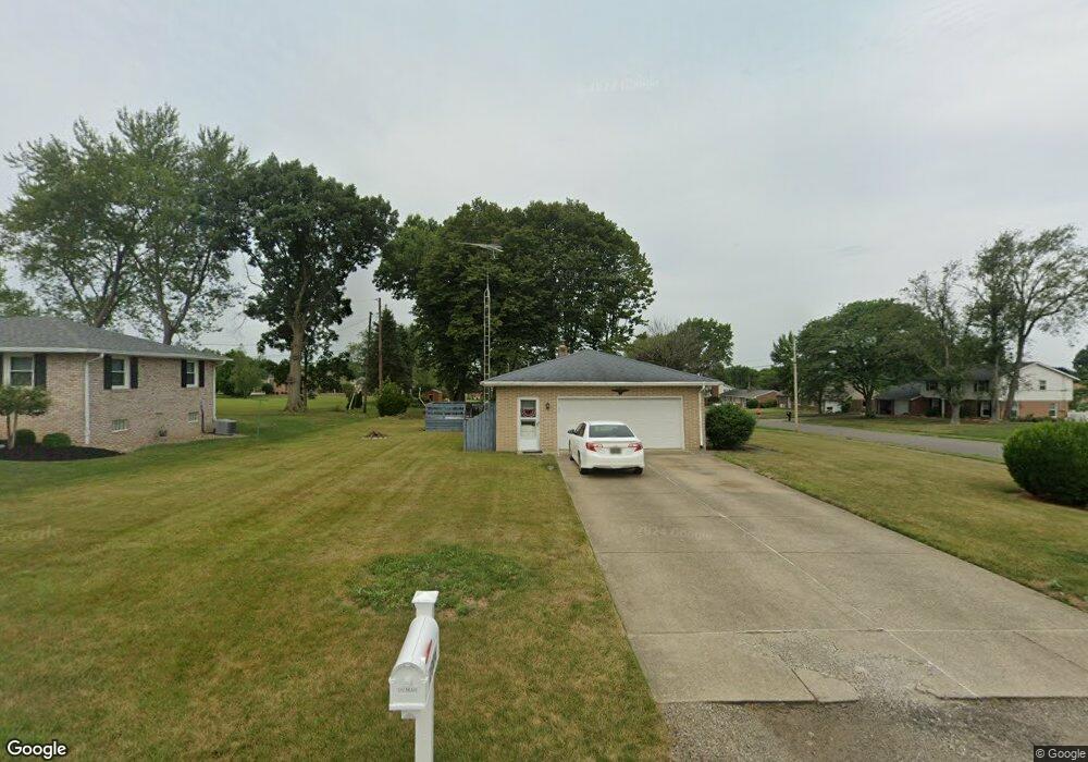
1906 Edmar St Louisville, OH 44641
Estimated Value: $223,713 - $250,000
3
Beds
2
Baths
1,248
Sq Ft
$191/Sq Ft
Est. Value
About This Home
This home is located at 1906 Edmar St, Louisville, OH 44641 and is currently estimated at $238,678, approximately $191 per square foot. 1906 Edmar St is a home located in Stark County with nearby schools including Louisville High School and St. Thomas Aquinas High School & Middle School.
Ownership History
Date
Name
Owned For
Owner Type
Purchase Details
Closed on
Mar 31, 2005
Sold by
Metzger Robert
Bought by
Haren Randolph J and Haren Mary J
Current Estimated Value
Home Financials for this Owner
Home Financials are based on the most recent Mortgage that was taken out on this home.
Original Mortgage
$113,600
Interest Rate
5.64%
Mortgage Type
Purchase Money Mortgage
Purchase Details
Closed on
Apr 20, 2004
Sold by
Metzger Louis M
Bought by
Metzger Louis M and The Louis M Metzger Trust
Create a Home Valuation Report for This Property
The Home Valuation Report is an in-depth analysis detailing your home's value as well as a comparison with similar homes in the area
Home Values in the Area
Average Home Value in this Area
Purchase History
| Date | Buyer | Sale Price | Title Company |
|---|---|---|---|
| Haren Randolph J | $142,000 | -- | |
| Metzger Louis M | -- | -- |
Source: Public Records
Mortgage History
| Date | Status | Borrower | Loan Amount |
|---|---|---|---|
| Closed | Haren Randolph J | $113,600 |
Source: Public Records
Tax History Compared to Growth
Tax History
| Year | Tax Paid | Tax Assessment Tax Assessment Total Assessment is a certain percentage of the fair market value that is determined by local assessors to be the total taxable value of land and additions on the property. | Land | Improvement |
|---|---|---|---|---|
| 2025 | -- | $63,700 | $17,920 | $45,780 |
| 2024 | -- | $63,700 | $17,920 | $45,780 |
| 2023 | $2,143 | $48,690 | $16,910 | $31,780 |
| 2022 | $2,149 | $48,690 | $16,910 | $31,780 |
| 2021 | $2,155 | $48,690 | $16,910 | $31,780 |
| 2020 | $1,791 | $43,790 | $15,260 | $28,530 |
| 2019 | $2,014 | $49,010 | $14,530 | $34,480 |
| 2018 | $2,006 | $49,010 | $14,530 | $34,480 |
| 2017 | $1,829 | $43,120 | $12,740 | $30,380 |
| 2016 | $1,867 | $43,120 | $12,740 | $30,380 |
| 2015 | $1,872 | $43,120 | $12,740 | $30,380 |
| 2014 | $1,741 | $37,280 | $11,030 | $26,250 |
| 2013 | $874 | $37,280 | $11,030 | $26,250 |
Source: Public Records
Map
Nearby Homes
- 2110 Edmar St
- 1715 High St
- 1812 E Broad St
- 641 S Nickelplate St
- 3390 Meese Rd NE
- 908 Sand Lot Cir
- 520 S Silver St
- 308 Superior St
- 728 E Broad St
- 2015 E Main St
- 0 Michigan Blvd
- 510 S Bauman Ct
- 204 E Broad St
- 8225 Georgetown St
- 107 E Broad St
- 1702 View Pointe Ave
- 325 Lincoln Ave
- 1639 Horizon Dr
- 1170 Winding Ridge Ave
- 910 Crosswyck Cir
- 1213 Hillcliff St
- 1846 Edmar St
- 1907 Edmar St
- 1223 Hillcliff St
- 2004 Edmar St
- 1847 Edmar St
- 1836 Edmar St
- 2005 Edmar St
- 1231 Hillcliff St
- 1837 Edmar St
- 2014 Edmar St
- 1856 Opal St
- 2015 Edmar St
- 1224 Hillcliff St
- 1906 Opal St
- 1241 Hillcliff St
- 1827 Edmar St
- 2024 Edmar St
- 1836 Opal St
- 1234 Hillcliff St