1907 Chestnut St Brighton, IL 62012
Estimated Value: $257,751
--
Bed
--
Bath
--
Sq Ft
20
Acres
About This Home
This home is located at 1907 Chestnut St, Brighton, IL 62012 and is currently estimated at $257,751. 1907 Chestnut St is a home located in Macoupin County with nearby schools including Southwestern High School.
Ownership History
Date
Name
Owned For
Owner Type
Purchase Details
Closed on
May 21, 2019
Sold by
Bradford Melodie J and Bradford Norine Steele
Bought by
Loy Eric B
Current Estimated Value
Home Financials for this Owner
Home Financials are based on the most recent Mortgage that was taken out on this home.
Original Mortgage
$150,000
Outstanding Balance
$131,612
Interest Rate
4.1%
Mortgage Type
New Conventional
Estimated Equity
$126,139
Purchase Details
Closed on
Mar 11, 2002
Bought by
Steele E Norine
Create a Home Valuation Report for This Property
The Home Valuation Report is an in-depth analysis detailing your home's value as well as a comparison with similar homes in the area
Home Values in the Area
Average Home Value in this Area
Purchase History
| Date | Buyer | Sale Price | Title Company |
|---|---|---|---|
| Loy Eric B | $165,000 | Prairie State Title & Escrow | |
| Steele E Norine | $148,000 | -- |
Source: Public Records
Mortgage History
| Date | Status | Borrower | Loan Amount |
|---|---|---|---|
| Open | Loy Eric B | $150,000 |
Source: Public Records
Tax History Compared to Growth
Tax History
| Year | Tax Paid | Tax Assessment Tax Assessment Total Assessment is a certain percentage of the fair market value that is determined by local assessors to be the total taxable value of land and additions on the property. | Land | Improvement |
|---|---|---|---|---|
| 2024 | $4,893 | $89,934 | $12,723 | $77,211 |
| 2023 | $4,818 | $83,528 | $11,543 | $71,985 |
| 2022 | $4,782 | $78,218 | $10,506 | $67,712 |
| 2021 | $4,523 | $79,268 | $9,550 | $69,718 |
| 2020 | $4,469 | $77,513 | $8,914 | $68,599 |
| 2019 | $4,022 | $67,571 | $8,138 | $59,433 |
| 2018 | $3,673 | $57,484 | $0 | $0 |
| 2017 | $3,850 | $63,160 | $6,994 | $56,166 |
| 2016 | $3,787 | $62,789 | $6,623 | $56,166 |
| 2015 | $3,912 | $62,453 | $6,287 | $56,166 |
| 2014 | $3,625 | $62,453 | $6,287 | $56,166 |
| 2013 | $4,031 | $69,300 | $19,800 | $49,500 |
Source: Public Records
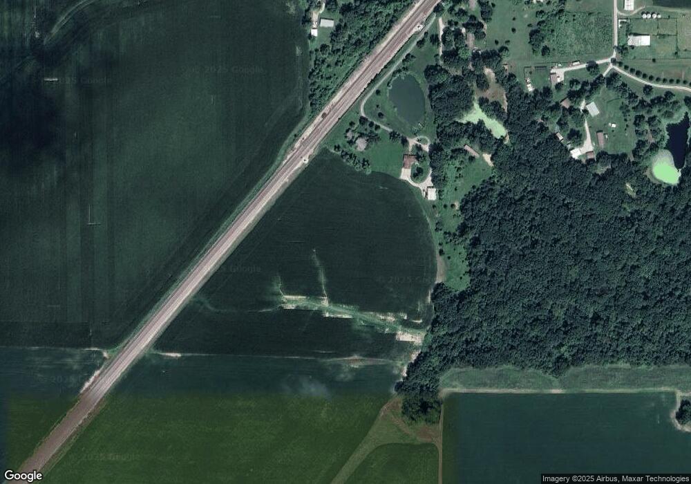
Map
Nearby Homes
- 4988 White Deer Ln
- 223 Cindy St
- 515 Mobile St
- 102 Avalon St
- 207 W Vine St
- 120 E Center St
- 34686 Gun Club Rd
- 212 North St
- 207 South St
- 619 S Main St
- 0 W County Line Rd Unit Tract 5
- 0 W County Line Rd Unit Tract 4
- 0 W County Line Rd Unit Tract 2
- 0 W County Line Rd Unit Tract 1
- 1850 W County Line Rd
- Tbd County Line Rd
- 10 Austin Ct
- Tbd County Line Rd
- Tbd County Line Rd
- 1625 Fosterburg Rd
- 1959 Chestnut St
- 1965 Chestnut St
- 4803 Lincoln St
- 1979 Chestnut St
- 4705 Logan St
- 2009 Chestnut St
- 2059 Chestnut St
- 2048 Chestnut St
- 4742 Logan St
- 4826 Logan St
- 4869 Logan St
- 4912 Lincoln St
- 3746 N Blue Ridge Ln
- 2503 Miles Station Rd
- 2507 Miles Station Rd
- 2484 Miles Station Rd
- 2588 Miles Station Rd
- 4338 Piasa Rd
- 5161 Huber Ln
- 5130 Huber Ln