1911 Tyrone Rd Westminster, MD 21158
Estimated Value: $439,000 - $578,000
--
Bed
2
Baths
1,809
Sq Ft
$278/Sq Ft
Est. Value
About This Home
This home is located at 1911 Tyrone Rd, Westminster, MD 21158 and is currently estimated at $502,527, approximately $277 per square foot. 1911 Tyrone Rd is a home located in Carroll County with nearby schools including Runnymede Elementary School, Northwest Middle School, and Francis Scott Key High School.
Ownership History
Date
Name
Owned For
Owner Type
Purchase Details
Closed on
May 28, 2013
Sold by
Hovermale Lloyd E and Hovermale Susan M
Bought by
Hovermale Lloyd E and Hovermale Susan M
Current Estimated Value
Purchase Details
Closed on
May 28, 1999
Sold by
Hovermale Lloyd E
Bought by
Hovermale Lloyd E and Hovermale Susan M
Purchase Details
Closed on
Sep 10, 1998
Sold by
Hovermale Lloyd E
Bought by
Hovermale Lloyd E and Hovermale Susan M
Purchase Details
Closed on
Aug 28, 1996
Sold by
Atkinson John Warner
Bought by
Hovermale Lloyd E and Hovermale Susan M
Create a Home Valuation Report for This Property
The Home Valuation Report is an in-depth analysis detailing your home's value as well as a comparison with similar homes in the area
Home Values in the Area
Average Home Value in this Area
Purchase History
| Date | Buyer | Sale Price | Title Company |
|---|---|---|---|
| Hovermale Lloyd E | -- | None Available | |
| Hovermale Lloyd E | -- | -- | |
| Hovermale Lloyd E | -- | -- | |
| Hovermale Lloyd E | $176,000 | -- |
Source: Public Records
Tax History Compared to Growth
Tax History
| Year | Tax Paid | Tax Assessment Tax Assessment Total Assessment is a certain percentage of the fair market value that is determined by local assessors to be the total taxable value of land and additions on the property. | Land | Improvement |
|---|---|---|---|---|
| 2025 | $3,625 | $357,467 | $0 | $0 |
| 2024 | $3,625 | $329,733 | $0 | $0 |
| 2023 | $3,442 | $302,000 | $144,100 | $157,900 |
| 2022 | $3,401 | $298,333 | $0 | $0 |
| 2021 | $6,900 | $294,667 | $0 | $0 |
| 2020 | $3,319 | $291,000 | $144,100 | $146,900 |
| 2019 | $3,264 | $283,533 | $0 | $0 |
| 2018 | $3,151 | $276,067 | $0 | $0 |
| 2017 | $3,068 | $268,600 | $0 | $0 |
| 2016 | -- | $268,600 | $0 | $0 |
| 2015 | -- | $268,600 | $0 | $0 |
| 2014 | -- | $270,900 | $0 | $0 |
Source: Public Records
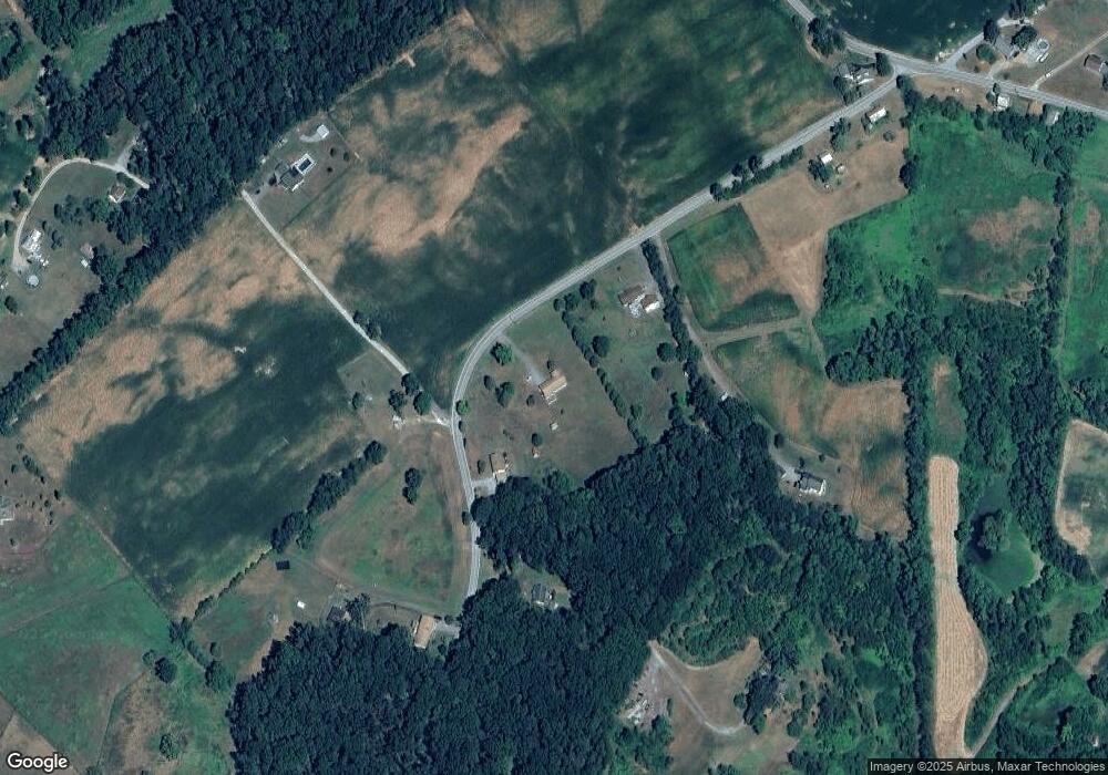
Map
Nearby Homes
- 2341 Cross Section Rd
- 1845 Benson Rd
- 1865 Hughes Shop Rd
- 2650 Baumgardner Rd
- 2372 Mayberry Rd
- 2710 Murkle Rd
- 2138 Old Taneytown Rd
- 2860 E Mayberry Rd
- 1915 Old Taneytown Rd
- 3437 Littlestown Pike
- 380 Crowl Rd
- 1255 Cherrytown Rd
- 1272 Cherrytown Rd
- 2734 Littlestown Pike
- 3444 Old Taneytown Rd
- 0 Deer Ridge Dr Unit MDCR2028308
- 1254 Pinch Valley Rd
- 25 John Owings Rd
- 4032 Turkeyfoot Rd
- 0 Pinch Valley Rd Unit MDCR2010438
- 1921 Tyrone Rd
- 1901 Tyrone Rd
- 1933 Tyrone Rd
- 1851 Tyrone Rd
- 1918 Tyrone Rd
- 1910 Tyrone Rd
- 1817 Tyrone Rd
- 1939 Tyrone Rd
- 1805 Stone Rd
- 1955 Tyrone Rd
- 1912 Tyrone Rd
- 1914 Tyrone Rd
- 1988 Tyrone Rd
- 1739 Stone Rd
- 1916 Tyrone Rd
- 2307 Cross Section Rd
- 1740 Stone Rd
- 1730 Stone Rd
- 2001 Tyrone Rd
- 2019 Stone Rd