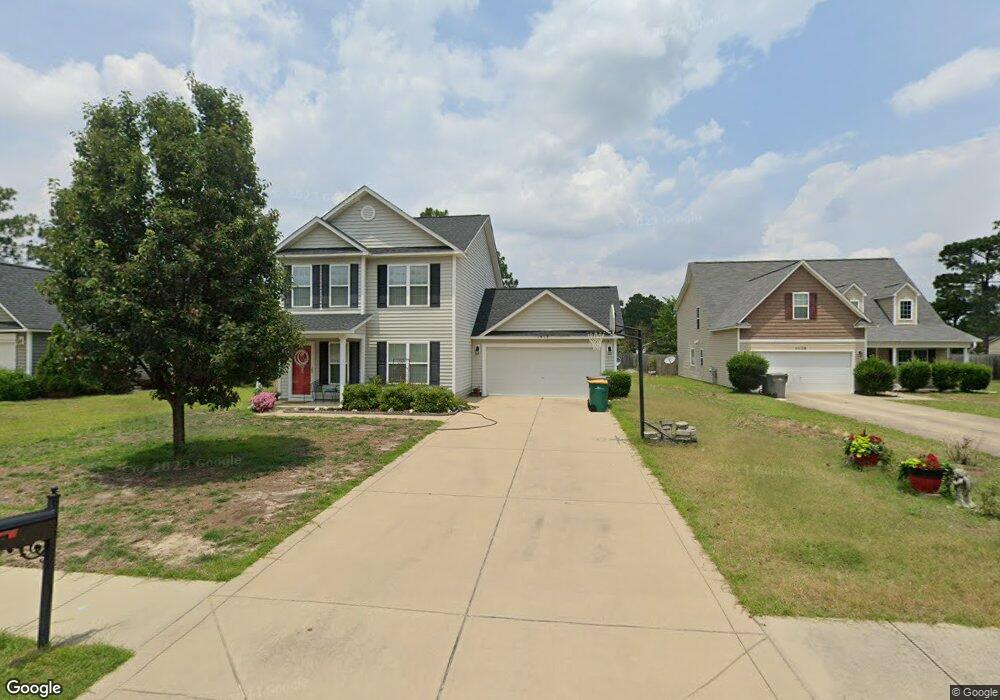
1912 Sir Michael Dr Hope Mills, NC 28348
South View NeighborhoodEstimated Value: $251,000 - $273,000
3
Beds
3
Baths
1,650
Sq Ft
$157/Sq Ft
Est. Value
About This Home
This home is located at 1912 Sir Michael Dr, Hope Mills, NC 28348 and is currently estimated at $259,242, approximately $157 per square foot. 1912 Sir Michael Dr is a home located in Cumberland County with nearby schools including C Wayne Collier Elementary, Hope Mills Middle, and South View High.
Ownership History
Date
Name
Owned For
Owner Type
Purchase Details
Closed on
Sep 11, 2009
Sold by
Caviness & Cates Bldg & Dev Co
Bought by
Coleman Charles D
Current Estimated Value
Home Financials for this Owner
Home Financials are based on the most recent Mortgage that was taken out on this home.
Original Mortgage
$147,184
Outstanding Balance
$96,258
Interest Rate
5.19%
Mortgage Type
FHA
Estimated Equity
$162,984
Create a Home Valuation Report for This Property
The Home Valuation Report is an in-depth analysis detailing your home's value as well as a comparison with similar homes in the area
Home Values in the Area
Average Home Value in this Area
Purchase History
| Date | Buyer | Sale Price | Title Company |
|---|---|---|---|
| Coleman Charles D | $150,000 | -- |
Source: Public Records
Mortgage History
| Date | Status | Borrower | Loan Amount |
|---|---|---|---|
| Open | Coleman Charles D | $147,184 |
Source: Public Records
Tax History Compared to Growth
Tax History
| Year | Tax Paid | Tax Assessment Tax Assessment Total Assessment is a certain percentage of the fair market value that is determined by local assessors to be the total taxable value of land and additions on the property. | Land | Improvement |
|---|---|---|---|---|
| 2024 | $3,142 | $146,187 | $25,000 | $121,187 |
| 2023 | $2,465 | $146,187 | $25,000 | $121,187 |
| 2022 | $2,287 | $146,187 | $25,000 | $121,187 |
| 2021 | $2,250 | $146,187 | $25,000 | $121,187 |
| 2019 | $2,239 | $144,800 | $25,000 | $119,800 |
| 2018 | $2,215 | $144,800 | $25,000 | $119,800 |
| 2017 | $2,215 | $144,800 | $25,000 | $119,800 |
| 2016 | $2,158 | $147,700 | $22,500 | $125,200 |
| 2015 | $2,158 | $147,700 | $22,500 | $125,200 |
| 2014 | $2,158 | $147,700 | $22,500 | $125,200 |
Source: Public Records
Map
Nearby Homes
- 6208 Birchbrook Dr
- 6145 Woodspring Dr
- 6314 Bretton Woods Dr
- 2124 Sir Michael Dr
- 2134 Queen Elizabeth Ln
- 5904 Genesis Ct
- 5019 Woodspring Dr
- 3848 Oak Haven Rd
- 4013 Shire St
- 5869 Permastone Lake Rd
- 5909 Spinner Rd
- 5983 Richfield Ave
- 4006 Racking Horse Rd
- 5929 Spinner Rd
- 6628 Camden Rd
- 3850 Standardbred Dr
- 1912 Sir Michael Lot 4 Dr
- 1916 Sir Michael Dr
- 1916 1916 Sir Michael Dr
- 1920 Sir Michael Dr
- 1920 Sir Michael Lot 6 Dr
- 1904 Sir Michael Dr
- 6203 Rustic Ridge
- 6201 Rustic Ridge
- 1900 Dr
- 6314 Streeter Dr
- 6205 Rustic Ridge
- 1924 Sir Michael Dr
- 6310 Streeter Dr
- 6209 Bretton Woods Dr
- 6318 Streeter Dr
- 6205 Bretton Woods Dr
- 6306 Streeter Dr
- 2331 Rustic Trail
- 6207 Rustic Ridge
- 6322 Streeter Dr