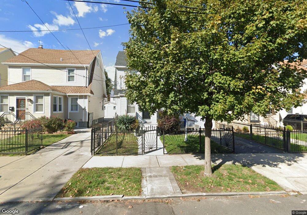
19145 112th Rd Saint Albans, NY 11412
Hollis NeighborhoodEstimated Value: $631,948 - $732,000
--
Bed
--
Bath
1,568
Sq Ft
$440/Sq Ft
Est. Value
About This Home
This home is located at 19145 112th Rd, Saint Albans, NY 11412 and is currently estimated at $690,237, approximately $440 per square foot. 19145 112th Rd is a home located in Queens County with nearby schools including P.S. 118 Lorraine Hansberry, I.S. 192 The Linden, and Riverton Street Charter School.
Ownership History
Date
Name
Owned For
Owner Type
Purchase Details
Closed on
Jul 29, 2003
Sold by
Burgess Ernest V and Burgess Sybil L
Bought by
Brister Mattie and Brister Othir
Current Estimated Value
Home Financials for this Owner
Home Financials are based on the most recent Mortgage that was taken out on this home.
Original Mortgage
$207,000
Interest Rate
5.46%
Mortgage Type
Purchase Money Mortgage
Create a Home Valuation Report for This Property
The Home Valuation Report is an in-depth analysis detailing your home's value as well as a comparison with similar homes in the area
Home Values in the Area
Average Home Value in this Area
Purchase History
| Date | Buyer | Sale Price | Title Company |
|---|---|---|---|
| Brister Mattie | $218,000 | -- |
Source: Public Records
Mortgage History
| Date | Status | Borrower | Loan Amount |
|---|---|---|---|
| Previous Owner | Brister Mattie | $207,000 |
Source: Public Records
Tax History Compared to Growth
Tax History
| Year | Tax Paid | Tax Assessment Tax Assessment Total Assessment is a certain percentage of the fair market value that is determined by local assessors to be the total taxable value of land and additions on the property. | Land | Improvement |
|---|---|---|---|---|
| 2025 | $5,236 | $27,946 | $8,487 | $19,459 |
| 2024 | $5,248 | $27,469 | $7,860 | $19,609 |
| 2023 | $4,972 | $26,154 | $7,123 | $19,031 |
| 2022 | $4,641 | $41,400 | $11,880 | $29,520 |
| 2021 | $4,605 | $37,020 | $11,880 | $25,140 |
| 2020 | $4,633 | $31,860 | $11,880 | $19,980 |
| 2019 | $4,496 | $31,560 | $11,880 | $19,680 |
| 2018 | $4,145 | $21,795 | $9,066 | $12,729 |
| 2017 | $3,894 | $20,571 | $9,257 | $11,314 |
| 2016 | $3,570 | $20,571 | $9,257 | $11,314 |
| 2015 | $2,121 | $19,407 | $9,726 | $9,681 |
| 2014 | $2,121 | $19,076 | $10,706 | $8,370 |
Source: Public Records
Map
Nearby Homes
- 190-59 112th Ave
- 190-63 112th Ave
- 191-40 112th Rd
- 194-16 112th Ave
- 194-29 112th Ave
- 194- 24 111th Rd
- 19022 111th Rd
- 19404 110th Rd
- 19432 113th Rd
- 19427 Murdock Ave
- 111-06 Farmers Blvd
- 19445 Murdock Ave
- 18833 Keeseville Ave
- 194-42 Murdock Ave
- 19431 114th Rd
- 194-56 Murdock Ave
- 191-34 114th Rd
- 187-44 Jordan Ave
- 191-16 114th Rd
- 188-25 Mangin Ave
- 191-49 112th Rd
- 19141 112th Rd
- 19149 112th Rd
- 19149 112th Rd
- 19141 112th Rd
- 19141 112th Rd
- 191-51 112th Rd
- 19139 112th Rd
- 19151 112th Rd
- 19054 112th Ave
- 19135 112th Rd
- 19052 112th Ave
- 19155 112th Rd
- 191-55 112th Rd
- 19058 112th Ave
- 190-54 112th Ave
- 19050 112th Ave
- 19058 112th Ave
- 19062 112th Ave
- 19062 112th Ave