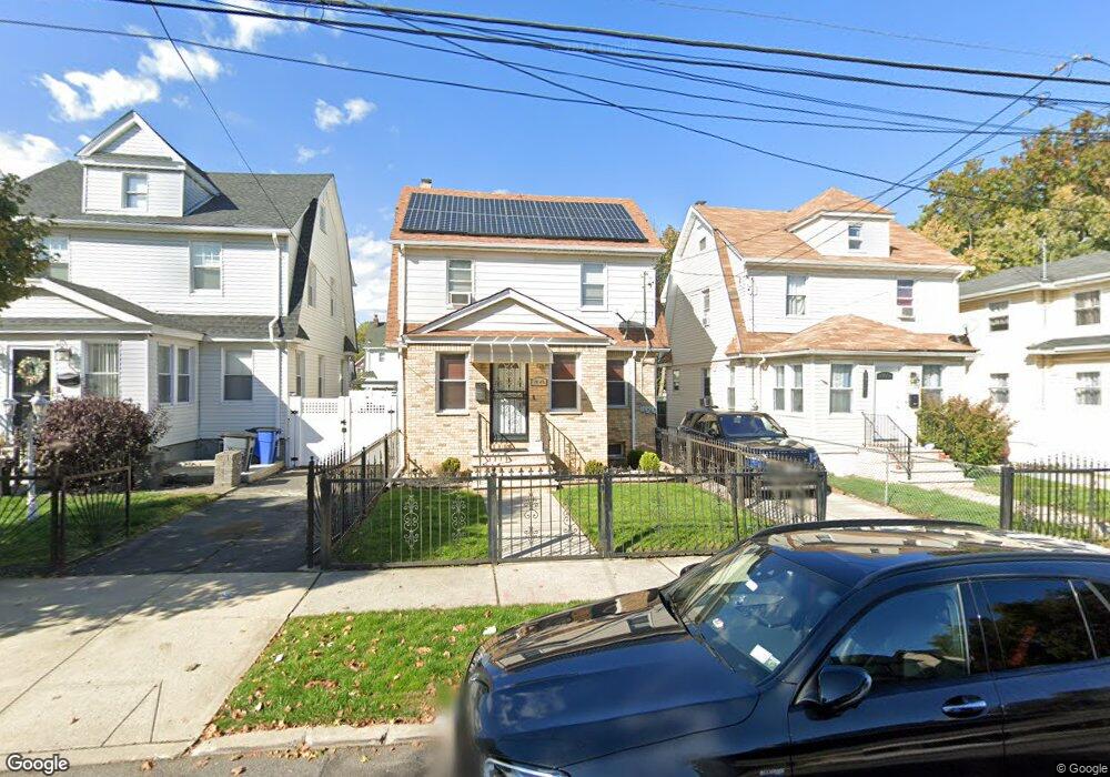
19149 112th Rd Saint Albans, NY 11412
Hollis NeighborhoodEstimated Value: $725,000 - $891,000
--
Bed
3
Baths
1,568
Sq Ft
$489/Sq Ft
Est. Value
About This Home
This home is located at 19149 112th Rd, Saint Albans, NY 11412 and is currently estimated at $767,513, approximately $489 per square foot. 19149 112th Rd is a home located in Queens County with nearby schools including P.S. 118 Lorraine Hansberry, I.S. 192 The Linden, and Riverton Street Charter School.
Ownership History
Date
Name
Owned For
Owner Type
Purchase Details
Closed on
Nov 3, 2016
Sold by
Holston Alice and Holston-Walters Alice
Bought by
Ibrahim Alamin
Current Estimated Value
Purchase Details
Closed on
Jun 27, 2002
Sold by
Walters Hubert and Holston Alice
Bought by
Holston Alice and Holston-Walters Alice
Purchase Details
Closed on
Oct 10, 1998
Sold by
Walters Hubert and Holston Alice
Bought by
Walters Hubert G and Holston Alice
Purchase Details
Closed on
Mar 7, 1996
Sold by
Humes Edith O
Bought by
Walters Hubert and Holston Alice
Create a Home Valuation Report for This Property
The Home Valuation Report is an in-depth analysis detailing your home's value as well as a comparison with similar homes in the area
Home Values in the Area
Average Home Value in this Area
Purchase History
| Date | Buyer | Sale Price | Title Company |
|---|---|---|---|
| Ibrahim Alamin | $495,000 | -- | |
| Ibrahim Alamin | $495,000 | -- | |
| Holston Alice | -- | -- | |
| Holston Alice | -- | -- | |
| Walters Hubert G | -- | First American Title Ins Co | |
| Walters Hubert G | -- | First American Title Ins Co | |
| Walters Hubert | -- | First American Title Ins Co | |
| Walters Hubert | -- | First American Title Ins Co |
Source: Public Records
Tax History Compared to Growth
Tax History
| Year | Tax Paid | Tax Assessment Tax Assessment Total Assessment is a certain percentage of the fair market value that is determined by local assessors to be the total taxable value of land and additions on the property. | Land | Improvement |
|---|---|---|---|---|
| 2025 | $6,019 | $30,743 | $11,036 | $19,707 |
| 2024 | $4,003 | $29,966 | $11,154 | $18,812 |
| 2023 | $5,678 | $28,272 | $9,512 | $18,760 |
| 2022 | $3,309 | $38,400 | $15,120 | $23,280 |
| 2021 | $3,376 | $32,280 | $15,120 | $17,160 |
| 2020 | $5,423 | $32,760 | $15,120 | $17,640 |
| 2019 | $5,224 | $33,360 | $15,120 | $18,240 |
| 2018 | $4,803 | $23,560 | $11,551 | $12,009 |
| 2017 | $4,531 | $22,227 | $12,256 | $9,971 |
| 2016 | $4,268 | $22,227 | $12,256 | $9,971 |
| 2015 | $2,529 | $21,349 | $13,080 | $8,269 |
| 2014 | $2,529 | $20,810 | $14,143 | $6,667 |
Source: Public Records
Map
Nearby Homes
- 190-63 112th Ave
- 190-59 112th Ave
- 194-16 112th Ave
- 194- 24 111th Rd
- 194-29 112th Ave
- 191-40 112th Rd
- 19022 111th Rd
- 19404 110th Rd
- 111-06 Farmers Blvd
- 19432 113th Rd
- 19427 Murdock Ave
- 19445 Murdock Ave
- 18833 Keeseville Ave
- 194-42 Murdock Ave
- 193-21 109th Rd
- 194-56 Murdock Ave
- 19431 114th Rd
- 187-44 Jordan Ave
- 188-25 Mangin Ave
- 191-34 114th Rd
- 191-49 112th Rd
- 19149 112th Rd
- 191-51 112th Rd
- 19145 112th Rd
- 19151 112th Rd
- 19141 112th Rd
- 19141 112th Rd
- 19141 112th Rd
- 19155 112th Rd
- 191-55 112th Rd
- 19139 112th Rd
- 19058 112th Ave
- 19054 112th Ave
- 19062 112th Ave
- 191-48 112th Rd
- 19052 112th Ave
- 19058 112th Ave
- 19135 112th Rd
- 190-54 112th Ave
- 19062 112th Ave