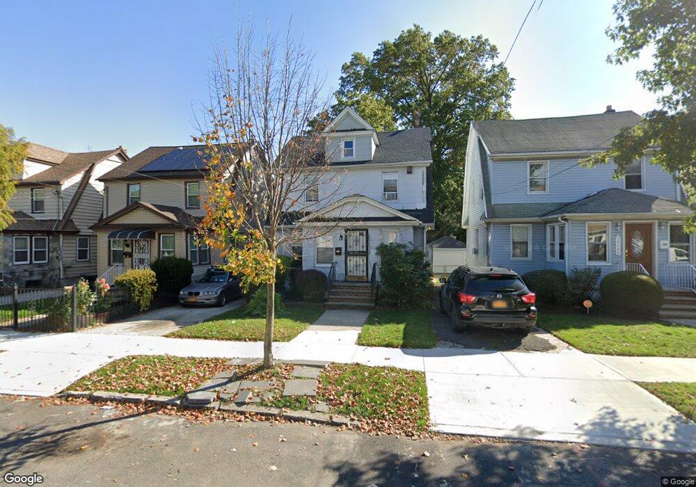
19150 112th Rd Saint Albans, NY 11412
Hollis NeighborhoodEstimated Value: $577,000 - $708,000
--
Bed
--
Bath
1,568
Sq Ft
$419/Sq Ft
Est. Value
About This Home
This home is located at 19150 112th Rd, Saint Albans, NY 11412 and is currently estimated at $657,678, approximately $419 per square foot. 19150 112th Rd is a home located in Queens County with nearby schools including P.S. 118 Lorraine Hansberry, I.S. 192 The Linden, and Riverton Street Charter School.
Ownership History
Date
Name
Owned For
Owner Type
Purchase Details
Closed on
Apr 5, 2013
Sold by
Johnson Yvonne
Bought by
Springer Darnell and Springer Tawana J
Current Estimated Value
Home Financials for this Owner
Home Financials are based on the most recent Mortgage that was taken out on this home.
Original Mortgage
$225,834
Outstanding Balance
$160,630
Interest Rate
3.64%
Mortgage Type
New Conventional
Estimated Equity
$497,048
Purchase Details
Closed on
May 19, 2008
Sold by
Estate Of John Wesley Greene
Bought by
Johnson Yvonne
Create a Home Valuation Report for This Property
The Home Valuation Report is an in-depth analysis detailing your home's value as well as a comparison with similar homes in the area
Home Values in the Area
Average Home Value in this Area
Purchase History
| Date | Buyer | Sale Price | Title Company |
|---|---|---|---|
| Springer Darnell | $230,000 | -- | |
| Johnson Yvonne | -- | -- |
Source: Public Records
Mortgage History
| Date | Status | Borrower | Loan Amount |
|---|---|---|---|
| Open | Springer Darnell | $225,834 |
Source: Public Records
Tax History Compared to Growth
Tax History
| Year | Tax Paid | Tax Assessment Tax Assessment Total Assessment is a certain percentage of the fair market value that is determined by local assessors to be the total taxable value of land and additions on the property. | Land | Improvement |
|---|---|---|---|---|
| 2025 | $4,837 | $25,529 | $7,511 | $18,018 |
| 2024 | $4,837 | $24,085 | $6,660 | $17,425 |
| 2023 | $4,837 | $24,085 | $6,560 | $17,525 |
| 2022 | $4,649 | $41,700 | $11,880 | $29,820 |
| 2021 | $4,745 | $37,140 | $11,880 | $25,260 |
| 2020 | $4,503 | $31,920 | $11,880 | $20,040 |
| 2019 | $4,199 | $30,780 | $11,880 | $18,900 |
| 2018 | $4,091 | $20,071 | $9,507 | $10,564 |
| 2017 | $3,956 | $19,407 | $9,063 | $10,344 |
| 2016 | $3,756 | $19,407 | $9,063 | $10,344 |
| 2015 | $2,208 | $17,728 | $10,104 | $7,624 |
| 2014 | $2,208 | $16,726 | $9,435 | $7,291 |
Source: Public Records
Map
Nearby Homes
- 191-40 112th Rd
- 190-59 112th Ave
- 190-63 112th Ave
- 194-16 112th Ave
- 19022 111th Rd
- 194-29 112th Ave
- 194- 24 111th Rd
- 19432 113th Rd
- 19427 Murdock Ave
- 19445 Murdock Ave
- 194-42 Murdock Ave
- 18833 Keeseville Ave
- 191-34 114th Rd
- 19431 114th Rd
- 191-16 114th Rd
- 19404 110th Rd
- 18914 114th Rd
- 194-56 Murdock Ave
- 111-06 Farmers Blvd
- 191-47 114th Dr
- 19154 112th Rd
- 19148 112th Rd
- 191-48 112th Rd
- 19158 112th Rd
- 19144 112th Rd
- 19143 113th Ave
- 19140 112th Rd
- 19147 113th Ave
- 19139 113th Ave
- 19149 113th Ave
- 191-49 113th Ave
- 19135 113th Ave
- 19138 112th Rd
- 19149 112th Rd
- 191-51 112th Rd
- 191-49 112th Rd
- 19131 113th Ave
- 19402 112th Rd
- 19149 112th Rd
- 19141 112th Rd