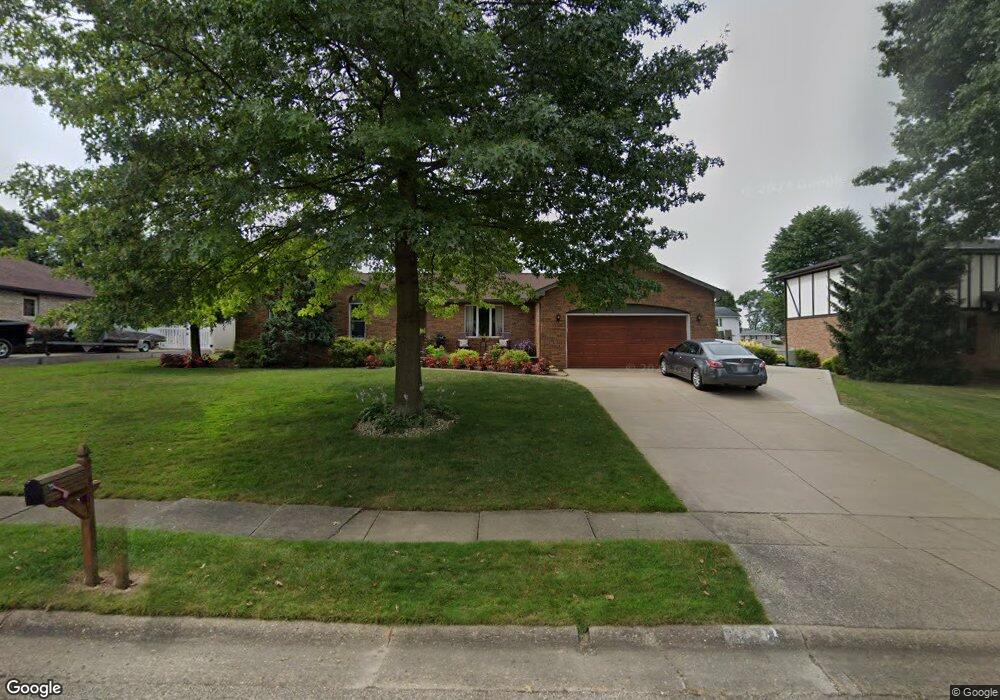
1916 Opal St Louisville, OH 44641
Estimated Value: $259,548 - $290,000
3
Beds
3
Baths
1,500
Sq Ft
$183/Sq Ft
Est. Value
About This Home
This home is located at 1916 Opal St, Louisville, OH 44641 and is currently estimated at $274,887, approximately $183 per square foot. 1916 Opal St is a home located in Stark County with nearby schools including Louisville High School and St. Thomas Aquinas High School & Middle School.
Ownership History
Date
Name
Owned For
Owner Type
Purchase Details
Closed on
Oct 25, 2022
Sold by
Lautzenheiser Cyle P
Bought by
Lautzenheiser Shannen
Current Estimated Value
Purchase Details
Closed on
Mar 4, 1998
Sold by
Mcdonald Nina R
Bought by
Lautzenheiser Cyle P and Lautzenheiser Shannen R
Home Financials for this Owner
Home Financials are based on the most recent Mortgage that was taken out on this home.
Original Mortgage
$88,800
Interest Rate
7.08%
Mortgage Type
New Conventional
Purchase Details
Closed on
Nov 25, 1992
Create a Home Valuation Report for This Property
The Home Valuation Report is an in-depth analysis detailing your home's value as well as a comparison with similar homes in the area
Home Values in the Area
Average Home Value in this Area
Purchase History
| Date | Buyer | Sale Price | Title Company |
|---|---|---|---|
| Lautzenheiser Shannen | -- | None Listed On Document | |
| Lautzenheiser Cyle P | $111,000 | -- | |
| -- | $71,200 | -- |
Source: Public Records
Mortgage History
| Date | Status | Borrower | Loan Amount |
|---|---|---|---|
| Previous Owner | Lautzenheiser Cyle P | $88,800 |
Source: Public Records
Tax History Compared to Growth
Tax History
| Year | Tax Paid | Tax Assessment Tax Assessment Total Assessment is a certain percentage of the fair market value that is determined by local assessors to be the total taxable value of land and additions on the property. | Land | Improvement |
|---|---|---|---|---|
| 2025 | -- | $74,030 | $17,640 | $56,390 |
| 2024 | -- | $74,030 | $17,640 | $56,390 |
| 2023 | $2,762 | $64,230 | $16,630 | $47,600 |
| 2022 | $1,384 | $64,230 | $16,630 | $47,600 |
| 2021 | $2,776 | $64,230 | $16,630 | $47,600 |
| 2020 | $2,314 | $58,170 | $14,980 | $43,190 |
| 2019 | $2,283 | $57,300 | $14,980 | $42,320 |
| 2018 | $2,281 | $57,300 | $14,980 | $42,320 |
| 2017 | $2,104 | $51,000 | $13,160 | $37,840 |
| 2016 | $2,147 | $51,000 | $13,160 | $37,840 |
| 2015 | $2,154 | $51,000 | $13,160 | $37,840 |
| 2014 | $4 | $44,110 | $11,380 | $32,730 |
| 2013 | $1,006 | $44,110 | $11,380 | $32,730 |
Source: Public Records
Map
Nearby Homes
- 2110 Edmar St
- 1812 E Broad St
- 1715 High St
- 3390 Meese Rd NE
- 641 S Nickelplate St
- 2015 E Main St
- 308 Superior St
- 520 S Silver St
- 908 Sand Lot Cir
- 728 E Broad St
- 0 Michigan Blvd
- 510 S Bauman Ct
- 204 E Broad St
- 8225 Georgetown St
- 107 E Broad St
- 325 Lincoln Ave
- 1702 View Pointe Ave
- 1170 Winding Ridge Ave
- 1639 Horizon Dr
- 910 Crosswyck Cir