1916 S Broad Ave Lanett, AL 36863
Estimated Value: $62,000 - $734,959
--
Bed
--
Bath
868
Sq Ft
$521/Sq Ft
Est. Value
About This Home
This home is located at 1916 S Broad Ave, Lanett, AL 36863 and is currently estimated at $451,986, approximately $520 per square foot. 1916 S Broad Ave is a home with nearby schools including W. O. Lance Elementary School, Lanett Junior High School, and Lanett Senior High School.
Ownership History
Date
Name
Owned For
Owner Type
Purchase Details
Closed on
Oct 30, 2003
Sold by
Garrison Bobby Frank
Bought by
Lin Rui Yu and Lin Melia Hui
Current Estimated Value
Home Financials for this Owner
Home Financials are based on the most recent Mortgage that was taken out on this home.
Original Mortgage
$37,000
Interest Rate
4.2%
Mortgage Type
Small Business Administration
Create a Home Valuation Report for This Property
The Home Valuation Report is an in-depth analysis detailing your home's value as well as a comparison with similar homes in the area
Home Values in the Area
Average Home Value in this Area
Purchase History
| Date | Buyer | Sale Price | Title Company |
|---|---|---|---|
| Lin Rui Yu | $537,000 | None Available |
Source: Public Records
Mortgage History
| Date | Status | Borrower | Loan Amount |
|---|---|---|---|
| Previous Owner | Lin Rui Yu | $37,000 |
Source: Public Records
Tax History Compared to Growth
Tax History
| Year | Tax Paid | Tax Assessment Tax Assessment Total Assessment is a certain percentage of the fair market value that is determined by local assessors to be the total taxable value of land and additions on the property. | Land | Improvement |
|---|---|---|---|---|
| 2024 | $9,342 | $177,940 | $38,940 | $139,000 |
| 2023 | $9,342 | $177,940 | $38,940 | $139,000 |
| 2022 | $9,342 | $177,940 | $38,940 | $139,000 |
| 2021 | $8,133 | $154,920 | $38,940 | $115,980 |
| 2020 | $8,133 | $154,920 | $38,940 | $115,980 |
| 2019 | $8,133 | $154,920 | $38,940 | $115,980 |
| 2018 | $8,133 | $154,920 | $38,940 | $115,980 |
| 2017 | $7,713 | $146,920 | $38,940 | $107,980 |
| 2016 | $7,713 | $146,920 | $38,940 | $107,980 |
| 2015 | $7,713 | $146,920 | $38,940 | $107,980 |
| 2014 | $7,713 | $146,920 | $38,940 | $107,980 |
| 2013 | $7,126 | $146,920 | $38,940 | $107,980 |
Source: Public Records
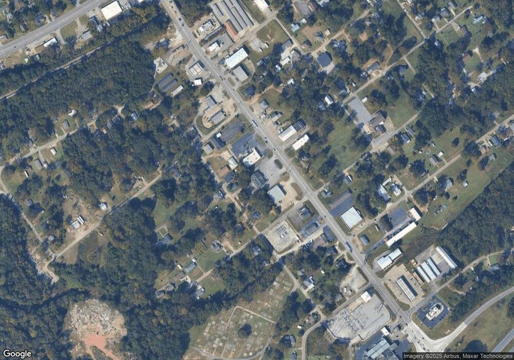
Map
Nearby Homes
- 2003 S 1st Ave
- 1911 S 1st Ave
- 2007 S 1st Ave
- 2009 S 1st Ave
- 2005 U S 29
- 1909 S 1st Ave
- 2011 S 1st Ave
- 2010 S 1st Ave
- 1911 S Broad Ave
- 1911 S Broad Ave
- 2002 S 1st Ave
- S 21st Ave
- 191 S Broad Ave
- 191 S Broad Ave Unit 3
- 191 Broad Ave
- 2102 S 1st Ave
- 1906 S 1st Ave
- 2005 S Broad Ave
- 2005 S Broad Ave
- 1810 S Broad Ave