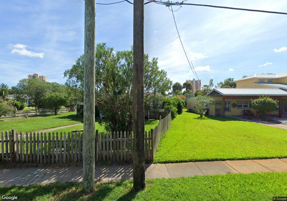
1918 N Oleander Ave Daytona Beach, FL 32118
Estimated Value: $389,000 - $444,000
3
Beds
2
Baths
1,643
Sq Ft
$250/Sq Ft
Est. Value
About This Home
This home is located at 1918 N Oleander Ave, Daytona Beach, FL 32118 and is currently estimated at $410,961, approximately $250 per square foot. 1918 N Oleander Ave is a home located in Volusia County with nearby schools including Campbell Middle School, Seabreeze High School, and Lourdes Academy.
Ownership History
Date
Name
Owned For
Owner Type
Purchase Details
Closed on
Aug 31, 2010
Sold by
Brown William A
Bought by
Brown William A and Brown Cynthia L
Current Estimated Value
Purchase Details
Closed on
Oct 9, 2007
Sold by
Peake Barbara May and Peake Barbara Mae
Bought by
Brown William A
Purchase Details
Closed on
Jul 15, 1979
Bought by
Brown William A and Brown Cynthia L
Purchase Details
Closed on
Aug 15, 1977
Bought by
Brown William A and Brown Cynthia L
Create a Home Valuation Report for This Property
The Home Valuation Report is an in-depth analysis detailing your home's value as well as a comparison with similar homes in the area
Home Values in the Area
Average Home Value in this Area
Purchase History
| Date | Buyer | Sale Price | Title Company |
|---|---|---|---|
| Brown William A | $50,000 | None Available | |
| Brown William A | $60,000 | Attorney | |
| Brown William A | $60,000 | Attorney | |
| Brown William A | $60,000 | Attorney | |
| Brown William A | $54,800 | -- | |
| Brown William A | $45,000 | -- |
Source: Public Records
Tax History Compared to Growth
Tax History
| Year | Tax Paid | Tax Assessment Tax Assessment Total Assessment is a certain percentage of the fair market value that is determined by local assessors to be the total taxable value of land and additions on the property. | Land | Improvement |
|---|---|---|---|---|
| 2025 | $5,111 | $325,730 | $112,860 | $212,870 |
| 2024 | $5,111 | $326,997 | $112,860 | $214,137 |
| 2023 | $5,111 | $308,551 | $132,000 | $176,551 |
| 2022 | $4,639 | $267,634 | $75,900 | $191,734 |
| 2021 | $4,394 | $227,229 | $58,410 | $168,819 |
| 2020 | $4,090 | $217,283 | $44,550 | $172,733 |
| 2019 | $3,834 | $206,673 | $44,955 | $161,718 |
| 2018 | $3,596 | $185,900 | $44,955 | $140,945 |
| 2017 | $3,423 | $171,742 | $44,793 | $126,949 |
| 2016 | $3,241 | $152,380 | $0 | $0 |
| 2015 | $3,116 | $141,705 | $0 | $0 |
| 2014 | $2,779 | $117,800 | $0 | $0 |
Source: Public Records
Map
Nearby Homes
- 268 Hartford Ave
- 311 Pelican Ave
- 0 Pelican Ave
- 238 Morningside Ave
- 1608 N Halifax Ave
- 2101 N Atlantic Ave Unit 10
- 2101 N Atlantic Ave Unit 1
- 376 Williams Ave
- 1619 N Halifax Ave
- 2200 N Atlantic Ave Unit 1602
- 1900 N Atlantic Ave Unit 1603
- 424 Pelican Ave
- 1517 N Grandview Ave
- 2300 N Atlantic Ave Unit 203
- 2300 N Atlantic Ave Unit 1701
- 2300 N Atlantic Ave Unit 1402
- 2300 N Atlantic Ave Unit 303
- 1800 N Atlantic Ave
- 1517 N Halifax Ave
- 307 Manhattan Ave
- 1910 N Oleander Ave
- 318 Brookline Ave
- 2000 N Oleander Ave
- 309 Brookline Ave
- 301 Hartford Ave
- 317 Brookline Ave
- 2004 N Oleander Ave
- 322 Brookline Ave
- 1915 N Oleander Ave
- 1919 N Oleander Ave
- 1913 N Oleander Ave
- 321 Brookline Ave
- 295 Hartford Ave
- 326 Brookline Ave
- 325 Brookline Ave
- 2012 N Oleander Ave
- 2001 N Oleander Ave
- 325 Hartford Ave
- 320 Morningside Ave
- 330 Brookline Ave