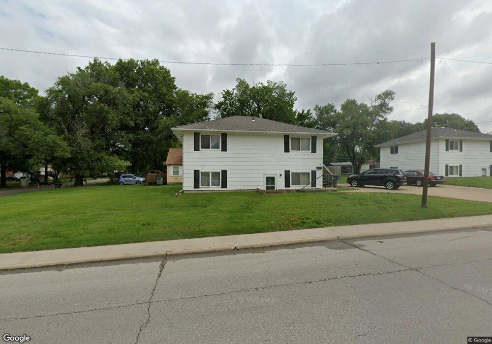
1918 W 12th Ave Emporia, KS 66801
Estimated Value: $130,779
4
Beds
2
Baths
832
Sq Ft
$157/Sq Ft
Est. Value
About This Home
This home is located at 1918 W 12th Ave, Emporia, KS 66801 and is currently estimated at $130,779, approximately $157 per square foot. 1918 W 12th Ave is a home located in Lyon County with nearby schools including Village Elementary School, Emporia Middle School, and Emporia High School.
Ownership History
Date
Name
Owned For
Owner Type
Purchase Details
Closed on
May 26, 2021
Bought by
Eagles Real Estate Llc
Current Estimated Value
Home Financials for this Owner
Home Financials are based on the most recent Mortgage that was taken out on this home.
Original Mortgage
$86,406
Outstanding Balance
$79,921
Interest Rate
4.4%
Mortgage Type
FHA
Estimated Equity
$50,858
Create a Home Valuation Report for This Property
The Home Valuation Report is an in-depth analysis detailing your home's value as well as a comparison with similar homes in the area
Home Values in the Area
Average Home Value in this Area
Purchase History
| Date | Buyer | Sale Price | Title Company |
|---|---|---|---|
| Eagles Real Estate Llc | $248,750 | -- | |
| Giefer, Betty J Rev Tr | -- | -- |
Source: Public Records
Mortgage History
| Date | Status | Borrower | Loan Amount |
|---|---|---|---|
| Open | Eagles Real Estate Llc | $86,406 |
Source: Public Records
Tax History Compared to Growth
Tax History
| Year | Tax Paid | Tax Assessment Tax Assessment Total Assessment is a certain percentage of the fair market value that is determined by local assessors to be the total taxable value of land and additions on the property. | Land | Improvement |
|---|---|---|---|---|
| 2025 | $2,679 | $15,525 | $1,458 | $14,067 |
| 2024 | $2,679 | $16,874 | $1,382 | $15,492 |
| 2022 | $2,355 | $14,984 | $1,075 | $13,909 |
| 2021 | $2,297 | $14,594 | $860 | $13,734 |
| 2020 | $2,142 | $14,111 | $819 | $13,292 |
| 2019 | $2,142 | $13,099 | $696 | $12,403 |
| 2018 | $1,776 | $10,870 | $696 | $10,174 |
| 2017 | $1,959 | $11,914 | $696 | $11,218 |
| 2016 | $1,701 | $10,373 | $696 | $9,677 |
| 2015 | -- | $9,660 | $666 | $8,994 |
| 2014 | -- | $9,292 | $589 | $8,703 |
Source: Public Records
Map
Nearby Homes
- 1018 Woodland St
- 1035 Grand St
- 1001 Woodland St
- 1614 W 12th Ave
- 1344 Prairie Park Ln
- 1110 Thompson St
- 1428 Prairie St
- 916 Garfield St
- 938 Luther St
- 1405 Lincoln St
- 1222 Tomahawk Rd
- 2212 W 15th Ave
- 1225 Presby Dr
- 616 Sherman St
- 634 Lincoln St
- 1304 Chestnut St
- 1327 Lawrence St
- 1242 Lawrence St
- 2302 Diane Ave
- 2043 Schaeffer Way
- 1206 Woodland St
- 1914 W 12th Ave
- 1048 Woodland St
- 1210 Woodland St
- 1124 Woodland St
- 1906 W 12th Ave
- 1216 Woodland St
- 2014 W 12th Ave
- 1120 Woodland St
- 1209 Woodland St
- 1205 Sunnyslope St
- 1209 Sunnyslope St
- 1047 Woodland St
- 1902 W 12th Ave
- 1222 Woodland St
- 1213 Woodland St
- 1116 Woodland St
- 1041 Sunnyslope St
- 1213 Sunnyslope St
- 1041 Woodland St