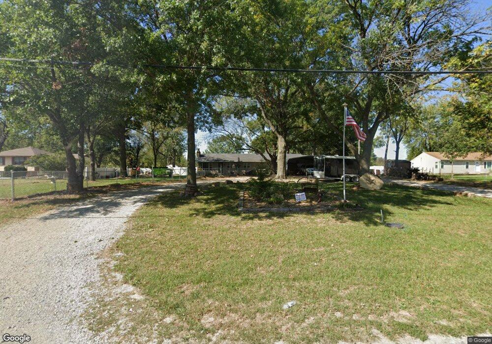
192 SW State Route 13 Warrensburg, MO 64093
Estimated Value: $191,730 - $229,000
--
Bed
--
Bath
1,480
Sq Ft
$143/Sq Ft
Est. Value
About This Home
This home is located at 192 SW State Route 13, Warrensburg, MO 64093 and is currently estimated at $211,683, approximately $143 per square foot. 192 SW State Route 13 is a home located in Johnson County with nearby schools including Maple Grove Elementary School, Martin Warren Elementary School, and Warrensburg Middle School.
Ownership History
Date
Name
Owned For
Owner Type
Purchase Details
Closed on
Jul 29, 2024
Sold by
Lakeside Mhp Llc
Bought by
Lakeside Warrensburg Llc
Current Estimated Value
Home Financials for this Owner
Home Financials are based on the most recent Mortgage that was taken out on this home.
Original Mortgage
$1,795,000
Outstanding Balance
$1,487,786
Interest Rate
6.95%
Mortgage Type
Credit Line Revolving
Estimated Equity
-$1,276,103
Purchase Details
Closed on
Jul 11, 2012
Sold by
Fisher James D and Fisher Darrick W
Bought by
Sponseller Tabatha L
Home Financials for this Owner
Home Financials are based on the most recent Mortgage that was taken out on this home.
Original Mortgage
$96,938
Interest Rate
3.79%
Mortgage Type
New Conventional
Create a Home Valuation Report for This Property
The Home Valuation Report is an in-depth analysis detailing your home's value as well as a comparison with similar homes in the area
Home Values in the Area
Average Home Value in this Area
Purchase History
| Date | Buyer | Sale Price | Title Company |
|---|---|---|---|
| Lakeside Warrensburg Llc | -- | Security 1St Title | |
| Sponseller Tabatha L | -- | None Available |
Source: Public Records
Mortgage History
| Date | Status | Borrower | Loan Amount |
|---|---|---|---|
| Open | Lakeside Warrensburg Llc | $1,795,000 | |
| Previous Owner | Sponseller Tabatha L | $96,938 |
Source: Public Records
Tax History Compared to Growth
Tax History
| Year | Tax Paid | Tax Assessment Tax Assessment Total Assessment is a certain percentage of the fair market value that is determined by local assessors to be the total taxable value of land and additions on the property. | Land | Improvement |
|---|---|---|---|---|
| 2024 | $1,062 | $14,585 | $0 | $0 |
| 2023 | $1,062 | $14,585 | $0 | $0 |
| 2022 | $1,025 | $14,013 | $0 | $0 |
| 2021 | $1,022 | $14,013 | $0 | $0 |
| 2020 | $992 | $13,439 | $0 | $0 |
| 2019 | $991 | $13,439 | $0 | $0 |
| 2017 | $937 | $13,230 | $0 | $0 |
| 2016 | $914 | $12,945 | $0 | $0 |
| 2015 | $941 | $12,945 | $0 | $0 |
| 2014 | $817 | $12,945 | $0 | $0 |
Source: Public Records
Map
Nearby Homes
- 10 SE 190 Rd
- 9 SE 190 Rd
- Lot 9 SW 11th Rd
- 8 SW 160th Rd
- 5 SE 240th Rd
- 40 SW Bb Hwy Unit 1
- 19 SE 150th Rd
- 129 SE 235th Rd
- 240 SE 121st Rd
- 240 SE 131st Rd
- 30 SW 160th Rd
- 146 SE 180th Rd
- 229 SE 141 Rd
- 153 SE 125 Rd
- 144 SE 250th Rd
- 280 SW Business 13 Hwy
- 317 E Hale Lake Rd
- 1106 S Mitchell St
- 111 Fairview Ave
- 706 Cedar Dr Unit B
- 192 SW Highway 13
- 202 SW State Route 13 Unit 14
- 190 SW State Route 13
- 191 SE State Route 13
- 206 SW State Route 13
- 188 SW State Route 13
- 210 SW State Route 13
- 184 SW State Route 13
- 184 SW 13 Hwy
- 212 SW State Route 13
- 189 SE State Route 13
- 8 SE 190th Rd
- 7 SE 190th Rd
- 10 SE 190th Rd
- 196 SE 51st Rd
- 194 SE 51st Rd
- 182 SW State Route 13
- 211 SE State Route 13
- 192 SE 51 Rd
- 214 SW State Route 13