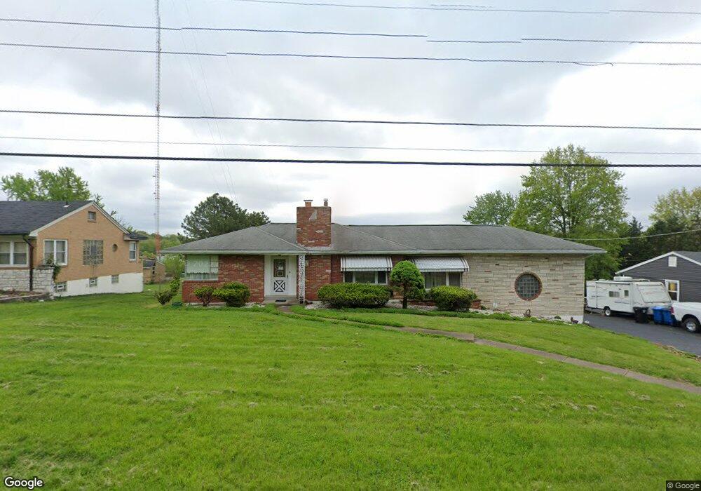
1920 Gloria Rd Saint Louis, MO 63125
Lemay NeighborhoodEstimated Value: $192,000 - $306,000
2
Beds
1
Bath
1,260
Sq Ft
$191/Sq Ft
Est. Value
About This Home
This home is located at 1920 Gloria Rd, Saint Louis, MO 63125 and is currently estimated at $241,267, approximately $191 per square foot. 1920 Gloria Rd is a home located in St. Louis County with nearby schools including Bierbaum Elementary School, Margaret Buerkle Middle School, and Mehlville High School.
Ownership History
Date
Name
Owned For
Owner Type
Purchase Details
Closed on
Feb 20, 2024
Sold by
Pauly Ronald J and Pauly Christy A
Bought by
Headrick Michael J and Headrick Brittany K
Current Estimated Value
Home Financials for this Owner
Home Financials are based on the most recent Mortgage that was taken out on this home.
Original Mortgage
$212,000
Outstanding Balance
$208,082
Interest Rate
6.66%
Mortgage Type
New Conventional
Estimated Equity
$33,185
Purchase Details
Closed on
Jul 7, 2023
Sold by
Sandvoss Sharon
Bought by
Pauly Ronald J and Pauly Christy A
Home Financials for this Owner
Home Financials are based on the most recent Mortgage that was taken out on this home.
Original Mortgage
$124,000
Interest Rate
6.57%
Mortgage Type
New Conventional
Create a Home Valuation Report for This Property
The Home Valuation Report is an in-depth analysis detailing your home's value as well as a comparison with similar homes in the area
Home Values in the Area
Average Home Value in this Area
Purchase History
| Date | Buyer | Sale Price | Title Company |
|---|---|---|---|
| Headrick Michael J | -- | True Title | |
| Pauly Ronald J | -- | True Title |
Source: Public Records
Mortgage History
| Date | Status | Borrower | Loan Amount |
|---|---|---|---|
| Open | Headrick Michael J | $212,000 | |
| Previous Owner | Pauly Ronald J | $124,000 |
Source: Public Records
Tax History Compared to Growth
Tax History
| Year | Tax Paid | Tax Assessment Tax Assessment Total Assessment is a certain percentage of the fair market value that is determined by local assessors to be the total taxable value of land and additions on the property. | Land | Improvement |
|---|---|---|---|---|
| 2025 | $3,128 | $46,080 | $20,330 | $25,750 |
| 2024 | $3,128 | $42,560 | $12,650 | $29,910 |
| 2023 | $2,946 | $42,560 | $12,650 | $29,910 |
| 2022 | $2,852 | $38,160 | $13,570 | $24,590 |
| 2021 | $2,618 | $38,160 | $13,570 | $24,590 |
| 2020 | $2,314 | $31,880 | $14,290 | $17,590 |
| 2019 | $2,308 | $31,880 | $14,290 | $17,590 |
| 2018 | $2,142 | $26,320 | $7,660 | $18,660 |
| 2017 | $2,136 | $26,320 | $7,660 | $18,660 |
| 2016 | $1,934 | $22,840 | $6,330 | $16,510 |
| 2015 | $1,822 | $22,840 | $6,330 | $16,510 |
| 2014 | $1,867 | $23,300 | $4,850 | $18,450 |
Source: Public Records
Map
Nearby Homes
- 4203 Lions Chase Dr
- 4127 Burnett Ave
- 1905 Mansard Dr Unit 1905
- 1871 Mansard Dr Unit 1917
- 2215 Apple Bud Ln
- 2245 Pecan Dr
- 4259 Burnett Walk Unit 4259
- 2216 Apple Bud Ln
- 1908 Union Rd Unit 1908
- 1918 Union Rd
- 1800 Deborah Dr
- 2324 Birch Dr
- 2337 Birch Dr
- 3809 Tahquitz Dr
- 2460 Lampong Dr Unit 100C
- 9920 Bunker Hill Dr Unit E
- 2414 Via Miralesta Dr
- 9030 Villaridge Ct Unit 53
- 9883 Ione Ln
- 9862 Glenmont Dr
- 1924 Gloria Rd
- 1916 Gloria Rd
- 1925 Gloria Rd
- 1917 Gloria Rd
- 1910 Gloria Rd
- 1929 Gloria Rd
- 1911 Gloria Rd
- 4001 Reavis Barracks Rd
- 4005 Reavis Barracks Rd
- 1924 Simba Cir
- 4009 Reavis Barracks Rd
- 3931 Reavis Barracks Rd
- 1920 Simba Cir
- 4013 Reavis Barracks Rd
- 4000 Reavis Barracks Rd
- 3917 Reavis Barracks Rd
- 4184 Lions Chase Dr
- 1912 Burnett Ave
- 4010 Reavis Barracks Rd
- 4017 Reavis Barracks Rd