1920 Williamsport St Henderson, NV 89052
Sun City Anthem NeighborhoodEstimated Value: $663,277 - $755,000
2
Beds
2
Baths
2,096
Sq Ft
$343/Sq Ft
Est. Value
About This Home
This home is located at 1920 Williamsport St, Henderson, NV 89052 and is currently estimated at $719,069, approximately $343 per square foot. 1920 Williamsport St is a home located in Clark County with nearby schools including Shirley & Bill Wallin Elementary School, Del E. Webb Middle School, and Liberty High School.
Ownership History
Date
Name
Owned For
Owner Type
Purchase Details
Closed on
May 12, 2014
Sold by
Newman Frank and Newman Mary
Bought by
The Newman Family Revocable Living Trust
Current Estimated Value
Purchase Details
Closed on
Jan 12, 2005
Sold by
Molloy James J and Molloy Sharon A
Bought by
Newman Frank and Newman Mary
Purchase Details
Closed on
Jun 25, 2004
Sold by
Del Webb Communities Inc
Bought by
Molloy James J and Molloy Sharon A
Home Financials for this Owner
Home Financials are based on the most recent Mortgage that was taken out on this home.
Original Mortgage
$309,750
Interest Rate
6.62%
Mortgage Type
Unknown
Create a Home Valuation Report for This Property
The Home Valuation Report is an in-depth analysis detailing your home's value as well as a comparison with similar homes in the area
Home Values in the Area
Average Home Value in this Area
Purchase History
| Date | Buyer | Sale Price | Title Company |
|---|---|---|---|
| The Newman Family Revocable Living Trust | -- | None Available | |
| Newman Frank | $565,000 | Equity Title Of Nevada | |
| Molloy James J | $444,796 | Lawyers Title Of Nevada |
Source: Public Records
Mortgage History
| Date | Status | Borrower | Loan Amount |
|---|---|---|---|
| Previous Owner | Molloy James J | $309,750 |
Source: Public Records
Tax History Compared to Growth
Tax History
| Year | Tax Paid | Tax Assessment Tax Assessment Total Assessment is a certain percentage of the fair market value that is determined by local assessors to be the total taxable value of land and additions on the property. | Land | Improvement |
|---|---|---|---|---|
| 2025 | $3,949 | $171,575 | $78,750 | $92,825 |
| 2024 | $3,834 | $171,575 | $78,750 | $92,825 |
| 2023 | $3,834 | $162,821 | $75,250 | $87,571 |
| 2022 | $3,723 | $147,143 | $67,200 | $79,943 |
| 2021 | $3,614 | $137,870 | $61,950 | $75,920 |
| 2020 | $3,506 | $136,738 | $61,600 | $75,138 |
| 2019 | $3,404 | $133,539 | $59,500 | $74,039 |
| 2018 | $3,305 | $128,950 | $57,750 | $71,200 |
| 2017 | $3,663 | $125,413 | $54,250 | $71,163 |
| 2016 | $3,129 | $116,398 | $43,750 | $72,648 |
| 2015 | $3,123 | $108,230 | $36,750 | $71,480 |
| 2014 | $3,032 | $102,388 | $33,250 | $69,138 |
Source: Public Records
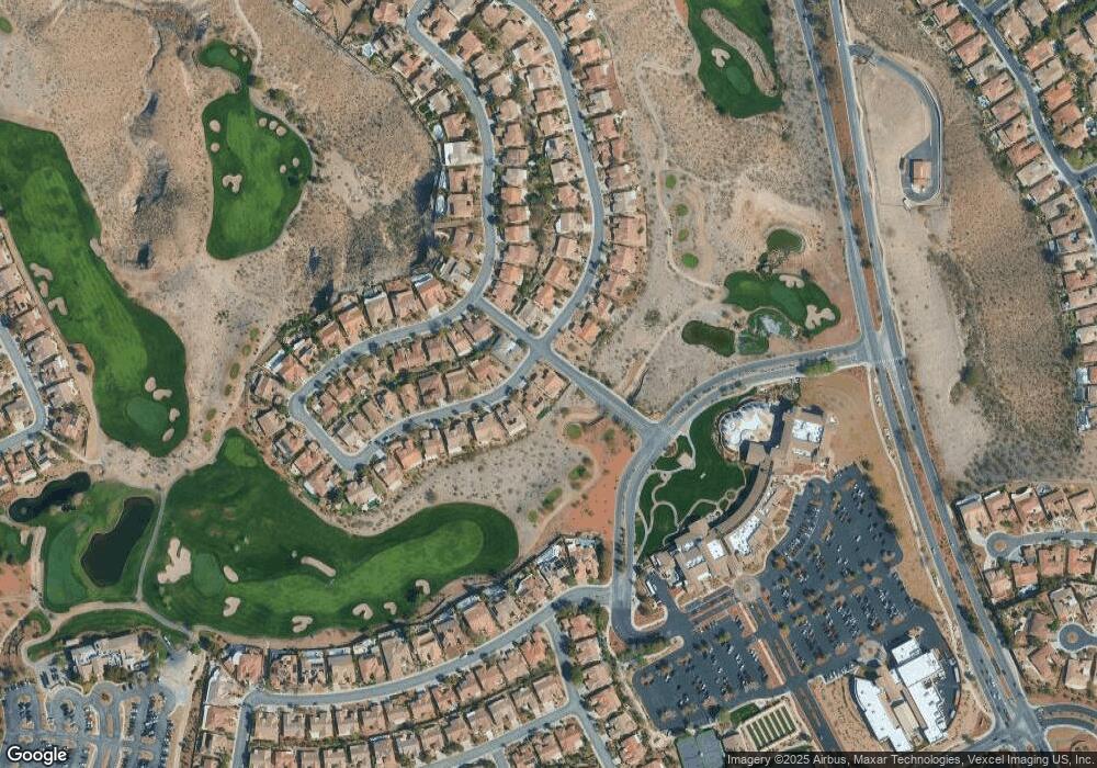
Map
Nearby Homes
- 2544 Forest City Dr
- 1893 Hovenweep St
- 2016 Biloxi Pass
- 2563 Collinsville Dr
- 1898 Wallingford St
- 19 Braelinn Dr
- 2555 Hampton Rd Unit 9308
- 2555 Hampton Rd Unit 8202
- 2555 Hampton Rd Unit 10304
- 2555 Hampton Rd Unit 10303
- 3 Chatmoss Rd
- 12 Kennesaw Rd
- 17 Chatmoss Rd
- 17 Winding Rd
- 16 Holston Hills Rd
- 1948 Point Pleasant Dr
- 2359 Blooming Valley Ct
- 35 Emerald Dunes Cir
- 2111 Cotton Valley St Unit 21
- 2764 Grand Forks Rd
- 1924 Williamsport St
- 1921 Williamsport St
- 1928 Williamsport St
- 1927 Williamsport St
- 1914 Williamsport St
- 1915 Williamsport St
- 1932 Williamsport St Unit n/a
- 1932 Williamsport St
- 1911 Williamsport St
- 1868 Hovenweep St
- 1910 Williamsport St
- 1933 Williamsport St
- 1864 Hovenweep St
- 1872 Hovenweep St
- 1936 Williamsport St
- 1907 Williamsport St
- 1860 Hovenweep St
- 1937 Williamsport St
- 1906 Williamsport St
- 1876 Hovenweep St