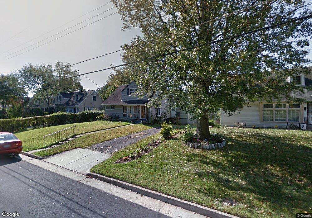
1921 Rollins Dr Alexandria, VA 22307
Estimated Value: $680,000 - $834,000
4
Beds
2
Baths
1,752
Sq Ft
$434/Sq Ft
Est. Value
About This Home
This home is located at 1921 Rollins Dr, Alexandria, VA 22307 and is currently estimated at $760,284, approximately $433 per square foot. 1921 Rollins Dr is a home located in Fairfax County with nearby schools including Belle View Elementary School, Sandburg Middle, and West Potomac High School.
Ownership History
Date
Name
Owned For
Owner Type
Purchase Details
Closed on
May 15, 2007
Sold by
Keister Harlin M
Bought by
Fisher Daniel N and Brown,Nadine E
Current Estimated Value
Home Financials for this Owner
Home Financials are based on the most recent Mortgage that was taken out on this home.
Original Mortgage
$368,000
Outstanding Balance
$223,965
Interest Rate
6.18%
Mortgage Type
New Conventional
Estimated Equity
$536,319
Create a Home Valuation Report for This Property
The Home Valuation Report is an in-depth analysis detailing your home's value as well as a comparison with similar homes in the area
Home Values in the Area
Average Home Value in this Area
Purchase History
| Date | Buyer | Sale Price | Title Company |
|---|---|---|---|
| Fisher Daniel N | $460,000 | -- |
Source: Public Records
Mortgage History
| Date | Status | Borrower | Loan Amount |
|---|---|---|---|
| Open | Fisher Daniel N | $368,000 |
Source: Public Records
Tax History Compared to Growth
Tax History
| Year | Tax Paid | Tax Assessment Tax Assessment Total Assessment is a certain percentage of the fair market value that is determined by local assessors to be the total taxable value of land and additions on the property. | Land | Improvement |
|---|---|---|---|---|
| 2025 | $8,110 | $649,610 | $284,000 | $365,610 |
| 2024 | $8,110 | $652,160 | $284,000 | $368,160 |
| 2023 | $7,532 | $623,970 | $269,000 | $354,970 |
| 2022 | $7,097 | $579,060 | $239,000 | $340,060 |
| 2021 | $6,870 | $551,380 | $229,000 | $322,380 |
| 2020 | $6,194 | $492,090 | $214,000 | $278,090 |
| 2019 | $6,009 | $475,240 | $214,000 | $261,240 |
| 2018 | $5,108 | $444,150 | $200,000 | $244,150 |
| 2017 | $5,349 | $431,040 | $194,000 | $237,040 |
| 2016 | $5,238 | $422,390 | $190,000 | $232,390 |
| 2015 | $4,986 | $415,830 | $188,000 | $227,830 |
| 2014 | $4,778 | $398,070 | $179,000 | $219,070 |
Source: Public Records
Map
Nearby Homes
- 2111 Rollins Dr
- 6934 Columbia Dr
- 2201 Rollins Dr
- 6918 Randolph Macon Dr
- 1502 Middlebury Dr
- 1919 Marthas Rd
- 6809 Duke Dr
- 2311 Glasgow Rd
- 1211 Wake Forest Dr
- 7128 Devonshire Rd
- 2248 Roanoke Dr
- 6729 Radcliffe Dr
- 1305 Gatewood Dr
- 6641 Wakefield Dr Unit 616
- 6641 Wakefield Dr Unit 801
- 6641 Wakefield Dr Unit 711
- 6641 Wakefield Dr Unit 918
- 6641 Wakefield Dr Unit 506
- 6641 Wakefield Dr Unit 405
- 6641 Wakefield Dr Unit 219
- 1925 Rollins Dr
- 1917 Rollins Dr
- 1929 Rollins Dr
- 1913 Rollins Dr
- 1922 Rollins Dr
- 1931 Rollins Dr
- 7100 Richard Casey Ct
- 7018 Colgate Dr
- 1909 Rollins Dr
- 2005 Griffin Dr
- 1928 Rollins Dr
- 7101 Richard Casey Ct
- 7016 Colgate Dr
- 1905 Rollins Dr
- 2003 Rollins Dr
- 7017 Vanderbilt Dr
- 7104 Richard Casey Ct
- 2005 Rollins Dr
- 7014 Colgate Dr
- 1902 Rollins Dr