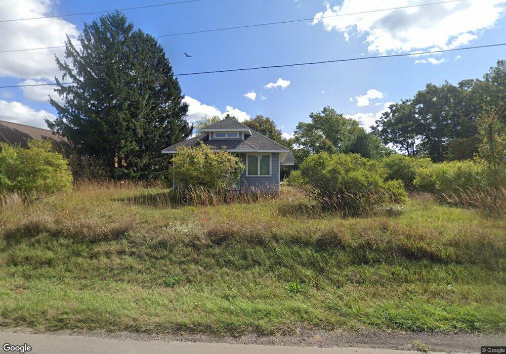
19215 Us Highway 12 New Buffalo, MI 49117
Estimated Value: $476,000 - $709,000
2
Beds
1
Bath
1,078
Sq Ft
$543/Sq Ft
Est. Value
About This Home
This home is located at 19215 Us Highway 12, New Buffalo, MI 49117 and is currently estimated at $584,873, approximately $542 per square foot. 19215 Us Highway 12 is a home located in Berrien County with nearby schools including New Buffalo Elementary School, New Buffalo Middle School, and New Buffalo Senior High School.
Ownership History
Date
Name
Owned For
Owner Type
Purchase Details
Closed on
Nov 11, 2025
Sold by
Jt22 Llc
Bought by
19215 Us 12 Llc
Current Estimated Value
Purchase Details
Closed on
Aug 9, 2023
Sold by
Jt22 Llc
Bought by
19215 Us Hwy 12 Llc
Purchase Details
Closed on
Mar 23, 1999
Purchase Details
Closed on
Mar 5, 1999
Purchase Details
Closed on
Apr 23, 1998
Purchase Details
Closed on
May 18, 1994
Purchase Details
Closed on
Sep 21, 1992
Create a Home Valuation Report for This Property
The Home Valuation Report is an in-depth analysis detailing your home's value as well as a comparison with similar homes in the area
Home Values in the Area
Average Home Value in this Area
Purchase History
| Date | Buyer | Sale Price | Title Company |
|---|---|---|---|
| 19215 Us 12 Llc | $1,900,000 | Meridian Title | |
| 19215 Us Hwy 12 Llc | -- | Meridian Title | |
| -- | -- | -- | |
| -- | -- | -- | |
| -- | $96,200 | -- | |
| -- | $66,000 | -- | |
| -- | $100 | -- |
Source: Public Records
Tax History Compared to Growth
Tax History
| Year | Tax Paid | Tax Assessment Tax Assessment Total Assessment is a certain percentage of the fair market value that is determined by local assessors to be the total taxable value of land and additions on the property. | Land | Improvement |
|---|---|---|---|---|
| 2025 | $12,224 | $212,000 | $0 | $0 |
| 2024 | $7,808 | $316,800 | $0 | $0 |
| 2023 | $1,285 | $88,500 | $0 | $0 |
| 2022 | $1,224 | $90,000 | $0 | $0 |
| 2021 | $1,620 | $76,900 | $16,800 | $60,100 |
| 2020 | $1,544 | $77,900 | $0 | $0 |
| 2019 | $1,539 | $78,200 | $13,900 | $64,300 |
| 2018 | $1,574 | $72,000 | $0 | $0 |
| 2017 | $1,651 | $73,400 | $0 | $0 |
| 2016 | $1,489 | $76,000 | $0 | $0 |
| 2015 | $1,496 | $76,800 | $0 | $0 |
| 2014 | $1,186 | $73,900 | $0 | $0 |
Source: Public Records
Map
Nearby Homes
- 49209 Howard Ave
- 52300 E Arnold - Land Dr
- 19253 White Pine Dr Unit 2
- 19409 U S 12
- 49106 Sun Valley Falls Blvd
- 19449 U S 12
- 1 Lilac Ln
- 48020 Ridge Rd
- 3 Lilac Ln
- 4 Lilac Ln
- 50005 High Point Ln
- 49005 E Mckean Dr
- 6 Lilac Ln
- 2 Lilac Ln
- 13254 Wilson Rd
- 48102 W Mckean Dr
- 51323 Erich Ln
- 0 Lake View Ave
- 1 Lake View Ave
- 47102 Cedar Ave
- 19215 U S 12
- 19189 U S 12
- 19251 Us Highway 12
- 19257 Michigan St
- 19251 Michigan St
- 19245 Michigan St
- 19288 Michigan St
- 19279 Michigan St
- 19267 Us 12
- 13636 Diamond Ln
- 19296 Michigan St
- 19299 Michigan St
- 13713 El Dorado Blvd
- 13640 Corinne Snyder Memorial Ct
- 19305 Michigan St
- 13636 Corinne Snyder Memorial Ct
- 13621 Corinne Snyder Memorial Ct
- 19281 Us Highway 12
- 19281 Us Hwy 12
- 19311 Michigan St