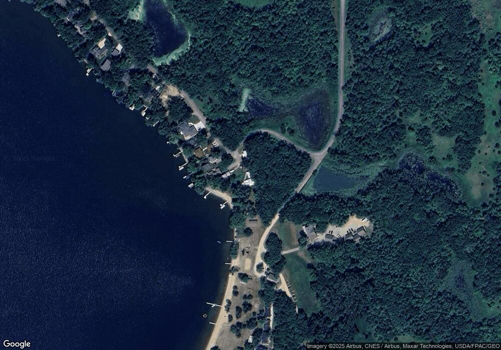
19230 12th St NE New London, MN 56273
Estimated Value: $601,000 - $1,054,000
--
Bed
--
Bath
2,209
Sq Ft
$362/Sq Ft
Est. Value
About This Home
This home is located at 19230 12th St NE, New London, MN 56273 and is currently estimated at $800,662, approximately $362 per square foot. 19230 12th St NE is a home with nearby schools including Prairie Woods Elementary School, New London-Spicer Middle School, and New London-Spicer Senior High School.
Ownership History
Date
Name
Owned For
Owner Type
Purchase Details
Closed on
Sep 10, 2007
Sold by
Heath Donald M and Estate Of Phyllis Augustson
Bought by
Anderson Robert and Anderson Susan
Current Estimated Value
Home Financials for this Owner
Home Financials are based on the most recent Mortgage that was taken out on this home.
Original Mortgage
$375,432
Outstanding Balance
$238,428
Interest Rate
6.63%
Mortgage Type
New Conventional
Estimated Equity
$562,234
Create a Home Valuation Report for This Property
The Home Valuation Report is an in-depth analysis detailing your home's value as well as a comparison with similar homes in the area
Home Values in the Area
Average Home Value in this Area
Purchase History
| Date | Buyer | Sale Price | Title Company |
|---|---|---|---|
| Anderson Robert | $349,000 | Alliance Title Company |
Source: Public Records
Mortgage History
| Date | Status | Borrower | Loan Amount |
|---|---|---|---|
| Open | Anderson Robert | $375,432 |
Source: Public Records
Tax History Compared to Growth
Tax History
| Year | Tax Paid | Tax Assessment Tax Assessment Total Assessment is a certain percentage of the fair market value that is determined by local assessors to be the total taxable value of land and additions on the property. | Land | Improvement |
|---|---|---|---|---|
| 2025 | $7,462 | $680,400 | $255,000 | $425,400 |
| 2024 | $6,284 | $690,700 | $255,000 | $435,700 |
| 2023 | $5,806 | $601,100 | $230,000 | $371,100 |
| 2022 | $5,560 | $569,200 | $230,000 | $339,200 |
| 2021 | $4,938 | $475,600 | $210,000 | $265,600 |
| 2020 | $4,938 | $461,200 | $210,000 | $251,200 |
| 2019 | $5,834 | $455,600 | $210,000 | $245,600 |
| 2018 | $5,706 | $452,400 | $210,000 | $242,400 |
| 2017 | $5,778 | $444,100 | $210,000 | $234,100 |
| 2016 | $5,620 | $4,434 | $0 | $0 |
| 2015 | -- | $0 | $0 | $0 |
| 2014 | -- | $0 | $0 | $0 |
Source: Public Records
Map
Nearby Homes
- 1122 S Andrew Dr NE
- 870 S Andrew Dr NE
- TBD Lot E Co Rd 40
- TBD Lot H Co Rd 40
- 22869 5th St NW
- 23000 5th St NW
- TBD Pine St NW
- 3614 198th Ave NW
- 17216 County Road 5 NW
- 1245 137th Ave NW
- 232 1st Ave NW
- 108 Meadow Ln
- 104 Meadow Ln
- 122 Ridge Rd
- 206 Pine St SW
- 311 Pine St SW
- 109 1st Ave NW
- 6 Fourth Avenue Lot 9 Ave
- 4539 141st Ave NE
- TBD 161st Ave NE
- 19240 12th St NE
- 19252 12th St NE
- 19264 12th St NE
- 19236 12th St NE
- 19280 12th St NE
- 19308 12th St NE
- Lot 2 NE 12 St
- 19324 12th St NE
- 19338 12th St NE
- 19352 12th St NE
- 19368 12th St NE
- 19382 12th St NE
- 19398 12th St NE
- 19412 12th St NE
- 19442 12th St NE
- 19456 12th St NE
- 19470 12th St NE
- 19486 12th St NE
- 18790 13th St NE
- 18780 13th St NE
