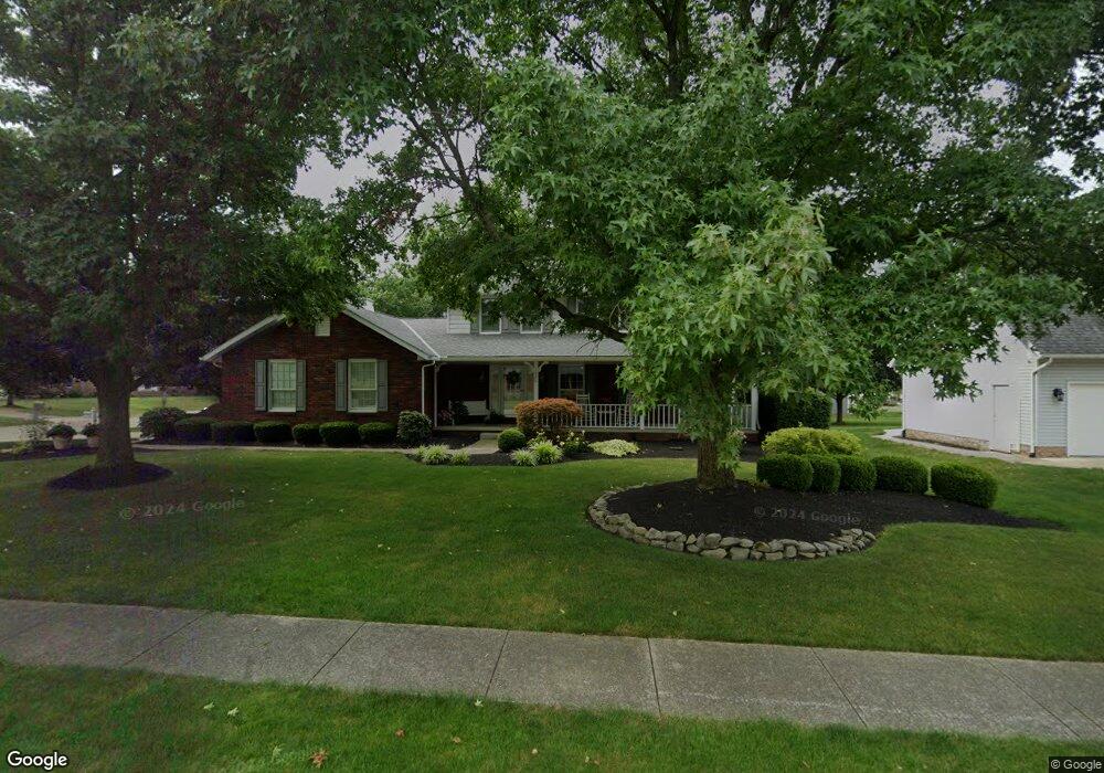
1926 Briarwood St Louisville, OH 44641
Estimated Value: $305,940 - $354,000
4
Beds
3
Baths
2,325
Sq Ft
$140/Sq Ft
Est. Value
About This Home
This home is located at 1926 Briarwood St, Louisville, OH 44641 and is currently estimated at $324,735, approximately $139 per square foot. 1926 Briarwood St is a home located in Stark County with nearby schools including Louisville High School and St. Thomas Aquinas High School & Middle School.
Ownership History
Date
Name
Owned For
Owner Type
Purchase Details
Closed on
Nov 9, 2016
Sold by
Miller Don K and Miller Lori L
Bought by
Miller Don K and Miller Lori J
Current Estimated Value
Purchase Details
Closed on
Aug 2, 1991
Purchase Details
Closed on
Apr 27, 1988
Create a Home Valuation Report for This Property
The Home Valuation Report is an in-depth analysis detailing your home's value as well as a comparison with similar homes in the area
Home Values in the Area
Average Home Value in this Area
Purchase History
| Date | Buyer | Sale Price | Title Company |
|---|---|---|---|
| Miller Don K | -- | None Available | |
| -- | $135,000 | -- | |
| -- | $15,000 | -- |
Source: Public Records
Tax History Compared to Growth
Tax History
| Year | Tax Paid | Tax Assessment Tax Assessment Total Assessment is a certain percentage of the fair market value that is determined by local assessors to be the total taxable value of land and additions on the property. | Land | Improvement |
|---|---|---|---|---|
| 2025 | -- | $93,250 | $15,860 | $77,390 |
| 2024 | -- | $93,250 | $15,860 | $77,390 |
| 2023 | $3,044 | $70,840 | $14,980 | $55,860 |
| 2022 | $1,827 | $70,840 | $14,980 | $55,860 |
| 2021 | $3,059 | $70,840 | $14,980 | $55,860 |
| 2020 | $2,584 | $65,000 | $13,480 | $51,520 |
| 2019 | $2,461 | $61,640 | $13,480 | $48,160 |
| 2018 | $2,451 | $61,640 | $13,480 | $48,160 |
| 2017 | $2,304 | $55,900 | $11,830 | $44,070 |
| 2016 | $2,351 | $55,900 | $11,830 | $44,070 |
| 2015 | $2,358 | $55,900 | $11,830 | $44,070 |
| 2014 | $192 | $48,300 | $10,220 | $38,080 |
| 2013 | $1,100 | $48,300 | $10,220 | $38,080 |
Source: Public Records
Map
Nearby Homes
- 2110 Edmar St
- 1812 E Broad St
- 1715 High St
- 2015 E Main St
- 641 S Nickelplate St
- 308 Superior St
- 3390 Meese Rd NE
- 520 S Silver St
- 0 Michigan Blvd
- 728 E Broad St
- 908 Sand Lot Cir
- 510 S Bauman Ct
- 204 E Broad St
- 107 E Broad St
- 325 Lincoln Ave
- 1170 Winding Ridge Ave
- 8225 Georgetown St
- 910 Crosswyck Cir
- 1702 View Pointe Ave
- 1639 Horizon Dr
- 1916 Briarwood St
- 905 Bentwood Cir
- 2006 Briarwood St
- 1906 Briarwood St
- 1925 Briarwood St
- 910 Hillcliff St
- 1915 Briarwood St
- 906 Bentwood Cir
- 2005 Briarwood St
- 2016 Briarwood St
- 1905 Briarwood St
- 0 Briarwood St Unit 3768345
- 1905 Tanglewood Cir
- 1923 Tanglewood Cir
- 2020 Briarwood St
- 1913 Tanglewood Cir
- 1867 Briarwood St
- 1931 Tanglewood Cir
- 2015 Briarwood St
- 825 Hillcliff St