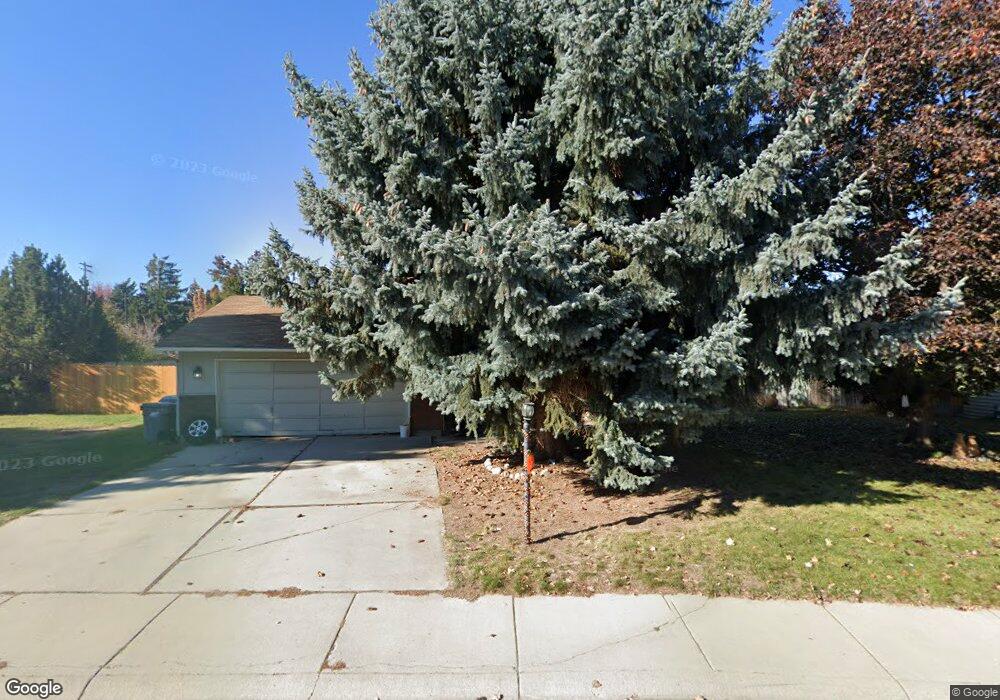
1927 Regent Ave Boise, ID 83709
Southwest Boise NeighborhoodEstimated Value: $522,000 - $591,000
3
Beds
2
Baths
2,046
Sq Ft
$267/Sq Ft
Est. Value
About This Home
This home is located at 1927 Regent Ave, Boise, ID 83709 and is currently estimated at $547,116, approximately $267 per square foot. 1927 Regent Ave is a home located in Ada County with nearby schools including Maple Grove Elementary School, West Junior High School, and Borah Senior High School.
Ownership History
Date
Name
Owned For
Owner Type
Purchase Details
Closed on
Jan 30, 1998
Sold by
Scott Neumann Kevin and Scott Sharon E
Bought by
Emry Thomas R and Emry Lori A
Current Estimated Value
Home Financials for this Owner
Home Financials are based on the most recent Mortgage that was taken out on this home.
Original Mortgage
$121,217
Outstanding Balance
$21,554
Interest Rate
7.05%
Mortgage Type
FHA
Estimated Equity
$525,562
Create a Home Valuation Report for This Property
The Home Valuation Report is an in-depth analysis detailing your home's value as well as a comparison with similar homes in the area
Home Values in the Area
Average Home Value in this Area
Purchase History
| Date | Buyer | Sale Price | Title Company |
|---|---|---|---|
| Emry Thomas R | -- | Transnation Title & Escrow I |
Source: Public Records
Mortgage History
| Date | Status | Borrower | Loan Amount |
|---|---|---|---|
| Open | Emry Thomas R | $121,217 |
Source: Public Records
Tax History Compared to Growth
Tax History
| Year | Tax Paid | Tax Assessment Tax Assessment Total Assessment is a certain percentage of the fair market value that is determined by local assessors to be the total taxable value of land and additions on the property. | Land | Improvement |
|---|---|---|---|---|
| 2025 | $2,821 | $469,600 | -- | -- |
| 2024 | $2,705 | $435,900 | -- | -- |
| 2023 | $2,705 | $408,300 | $0 | $0 |
| 2022 | $2,970 | $467,500 | $0 | $0 |
| 2021 | $2,949 | $394,800 | $0 | $0 |
| 2020 | $2,504 | $310,900 | $0 | $0 |
| 2019 | $2,753 | $302,900 | $0 | $0 |
| 2018 | $2,432 | $260,200 | $0 | $0 |
| 2017 | $2,239 | $240,100 | $0 | $0 |
| 2016 | $2,017 | $217,900 | $0 | $0 |
| 2015 | $1,900 | $207,300 | $0 | $0 |
| 2012 | -- | $153,600 | $0 | $0 |
Source: Public Records
Map
Nearby Homes
- 2033 S Stonyfield Place
- 10685 W Hollandale Dr
- 10875 W Hollandale Dr
- 2029 S Wilde Creek Way
- 10471 W Bantam St
- 2484 S Culpeper Ave
- 10334 W Bantam St
- 9999 W Hollandale Dr
- 10776 W Smoke Ranch Dr
- 1877 S Rustic Mill Place
- 9631 W Ottawa Ct
- 10324 W Antietam St
- 971 S Wavetrain Ave
- 10512 W Martingale Dr
- 11505 W Baserri Dr
- 960 S Nautilus Ave
- 941 S Wavetrain Ave
- 937 S Nautilus Ave
- 2476 S Amaya Ln
- 11225 W Camas St
- 1905 S Regent Ave
- 1905 Regent Ave
- 1951 Regent Ave
- 1887 Regent Ave
- 10566 W K Bar T Dr
- 1950 S Regent Ave
- 1950 Regent Ave
- 1928 Regent Ave
- 1906 Regent Ave
- 1865 Regent Ave
- 1974 Regent Ave
- 1888 Regent Ave
- 1957 S Five Mile Rd
- 1866 S Regent Ave
- 1843 Regent Ave
- 1866 Regent Ave
- 10575 W K Bar T Dr
- 10539 W K Bar T Dr
- 10462 W K Bar T Dr
- 10503 W K Bar T Dr