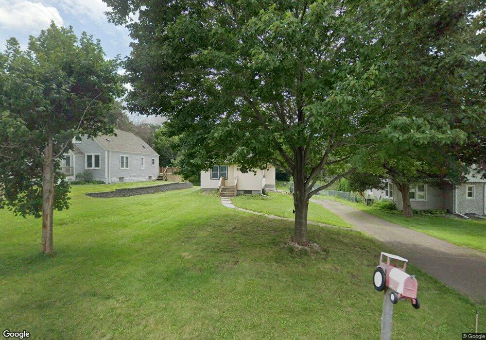
1928 Castle Ave E Saint Paul, MN 55109
Sherwood Glen NeighborhoodEstimated Value: $267,000 - $288,000
2
Beds
1
Bath
1,596
Sq Ft
$175/Sq Ft
Est. Value
About This Home
This home is located at 1928 Castle Ave E, Saint Paul, MN 55109 and is currently estimated at $279,522, approximately $175 per square foot. 1928 Castle Ave E is a home located in Ramsey County with nearby schools including John Glenn Middle School and Lionsgate Academy AIM.
Ownership History
Date
Name
Owned For
Owner Type
Purchase Details
Closed on
Feb 26, 2021
Sold by
Chermak Brenda and Chermak Steven M
Bought by
Miska Lindsey M
Current Estimated Value
Home Financials for this Owner
Home Financials are based on the most recent Mortgage that was taken out on this home.
Original Mortgage
$232,903
Outstanding Balance
$208,781
Interest Rate
2.7%
Mortgage Type
FHA
Estimated Equity
$70,741
Purchase Details
Closed on
Dec 20, 2019
Sold by
Sporre Sherri L and Sporre Douglas
Bought by
Chermak Brenda and Chermak Steven M
Home Financials for this Owner
Home Financials are based on the most recent Mortgage that was taken out on this home.
Original Mortgage
$121,125
Interest Rate
3.6%
Mortgage Type
New Conventional
Create a Home Valuation Report for This Property
The Home Valuation Report is an in-depth analysis detailing your home's value as well as a comparison with similar homes in the area
Home Values in the Area
Average Home Value in this Area
Purchase History
| Date | Buyer | Sale Price | Title Company |
|---|---|---|---|
| Miska Lindsey M | $237,200 | Concierge Title Inc | |
| Chermak Brenda | $161,500 | Network Title Inc | |
| Miska Lindsey Lindsey | $237,200 | -- |
Source: Public Records
Mortgage History
| Date | Status | Borrower | Loan Amount |
|---|---|---|---|
| Open | Miska Lindsey M | $232,903 | |
| Previous Owner | Chermak Brenda | $121,125 | |
| Closed | Miska Lindsey Lindsey | $232,903 |
Source: Public Records
Tax History Compared to Growth
Tax History
| Year | Tax Paid | Tax Assessment Tax Assessment Total Assessment is a certain percentage of the fair market value that is determined by local assessors to be the total taxable value of land and additions on the property. | Land | Improvement |
|---|---|---|---|---|
| 2025 | $4,148 | $273,400 | $53,100 | $220,300 |
| 2023 | $4,148 | $258,700 | $53,100 | $205,600 |
| 2022 | $2,670 | $247,600 | $53,100 | $194,500 |
| 2021 | $2,580 | $183,900 | $53,100 | $130,800 |
| 2020 | $2,992 | $192,900 | $53,100 | $139,800 |
| 2019 | $2,426 | $175,800 | $53,100 | $122,700 |
| 2018 | $2,438 | $143,100 | $53,100 | $90,000 |
| 2017 | $2,600 | $139,300 | $53,100 | $86,200 |
| 2016 | $2,236 | $0 | $0 | $0 |
| 2015 | $1,778 | $121,300 | $43,300 | $78,000 |
| 2014 | $1,512 | $0 | $0 | $0 |
Source: Public Records
Map
Nearby Homes
- 2175 German St
- 1995 11th Ave E Unit 2
- 1995 11th Ave E Unit 1
- 2193 Jennifer Ct
- 1666 Laurie Rd E
- 2554 Bittersweet Ln
- 2054 Shryer Ct E
- 2223 Gateway Curve N
- 2234 Gateway Curve N
- 2315 Mckenney Way N
- 2420 Hazelwood St
- 2189 Gateway Hill Rd N
- 2191 Gateway Hill Rd
- 2288 13th Ave E
- 1937 Flandrau St
- 1509 Sandhurst Ave E
- 2342 South Ave E
- 1496 Laurie Rd E
- 1984 Prosperity Rd
- 2268 17th Ave E
- 1930 Castle Ave E
- 1922 Castle Ave E
- 1946 Castle Ave E
- 1948 Castle Ave E
- 0 Castle Ave
- 1917 Cope Ave E
- 1937 Cope Ave E
- 2283 Castle Place N
- 1927 Cope Ave E
- 2281 Castle Place N
- 1949 Cope Ave E
- 2292 Castle Place N
- 2294 Castle Place N
- 1972 Castle Ct E
- 1953 Cope Ave E
- 1974 Castle Ct E
- 2271 Craig Place
- 1975 Castle Ave E Unit 1977
- 1975 Castle Ct E
- 2272 Craig Place