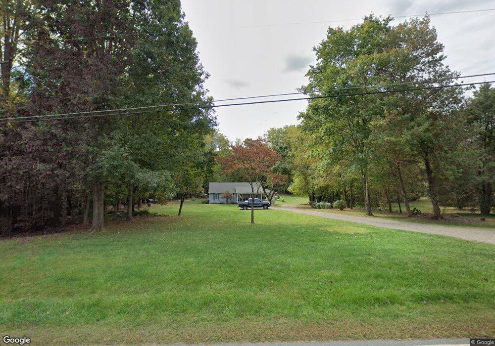
193 Ashbrook Rd Statesville, NC 28677
Estimated Value: $230,154 - $278,000
3
Beds
2
Baths
1,232
Sq Ft
$204/Sq Ft
Est. Value
About This Home
This home is located at 193 Ashbrook Rd, Statesville, NC 28677 and is currently estimated at $251,789, approximately $204 per square foot. 193 Ashbrook Rd is a home located in Iredell County with nearby schools including Celeste Henkel Elementary School, West Iredell Middle School, and West Iredell High School.
Ownership History
Date
Name
Owned For
Owner Type
Purchase Details
Closed on
Aug 18, 2003
Sold by
Bowery Gary B
Bought by
Bowery Frances D
Current Estimated Value
Home Financials for this Owner
Home Financials are based on the most recent Mortgage that was taken out on this home.
Original Mortgage
$44,700
Interest Rate
5.52%
Mortgage Type
Purchase Money Mortgage
Purchase Details
Closed on
Sep 1, 1993
Purchase Details
Closed on
May 1, 1984
Purchase Details
Closed on
Jun 1, 1959
Create a Home Valuation Report for This Property
The Home Valuation Report is an in-depth analysis detailing your home's value as well as a comparison with similar homes in the area
Home Values in the Area
Average Home Value in this Area
Purchase History
| Date | Buyer | Sale Price | Title Company |
|---|---|---|---|
| Bowery Frances D | -- | -- | |
| -- | $66,900 | -- | |
| -- | $6,000 | -- | |
| -- | -- | -- |
Source: Public Records
Mortgage History
| Date | Status | Borrower | Loan Amount |
|---|---|---|---|
| Closed | Bowery Frances D | $44,700 |
Source: Public Records
Tax History Compared to Growth
Tax History
| Year | Tax Paid | Tax Assessment Tax Assessment Total Assessment is a certain percentage of the fair market value that is determined by local assessors to be the total taxable value of land and additions on the property. | Land | Improvement |
|---|---|---|---|---|
| 2024 | $1,172 | $177,910 | $25,000 | $152,910 |
| 2023 | $1,110 | $177,910 | $25,000 | $152,910 |
| 2022 | $838 | $124,690 | $20,000 | $104,690 |
| 2021 | $838 | $124,690 | $20,000 | $104,690 |
| 2020 | $838 | $124,690 | $20,000 | $104,690 |
| 2019 | $826 | $124,690 | $20,000 | $104,690 |
| 2018 | $680 | $105,130 | $17,000 | $88,130 |
| 2017 | $680 | $105,130 | $17,000 | $88,130 |
| 2016 | $680 | $105,130 | $17,000 | $88,130 |
| 2015 | $676 | $104,400 | $17,000 | $87,400 |
| 2014 | -- | $115,760 | $17,000 | $98,760 |
Source: Public Records
Map
Nearby Homes
- 00 Jamie Dr Unit 6
- 130 Aviation Dr
- 2844 Hickory Hwy
- 827 Flint Dr
- 116 Bent Twig Dr
- 130 Greenwich Dr
- 109 Gatwick Ct
- 103 Dublin Ct
- 140 Swan Park Ln Unit 16
- 128 Swan Park Ln Unit 18
- 104 Swan Park Ln Unit 22
- 908 Westminster Dr
- 178 Old Airport Rd
- 3606 Rose St Unit 55
- 3004 Newton Dr
- 289 Mary Locke Way
- Robie Plan at Bristol Terrace
- Penwell Plan at Bristol Terrace
- Hayden Plan at Bristol Terrace
- 119 Mary Locke Way
- 203 Ashbrook Rd
- 181 Ashbrook Rd
- 188 Ashbrook Rd
- 211 Ashbrook Rd
- 182 Ashbrook Rd
- 0 Karen Dr Unit 2104883
- 169 Ashbrook Rd
- 174 Ashbrook Rd
- 204 Ashbrook Rd
- 113 Karmen Rd
- 219 Ashbrook Rd
- 165 Ashbrook Rd
- 220 Jamie Dr
- 214 Ashbrook Rd
- 164 Ashbrook Rd
- 228 Jamie Dr
- 225 Ashbrook Rd
- 121 Karmen Ln
- 207 Ac Brookhaven Rd
- 116 Karmen Ln