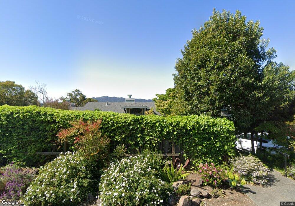
193 Bret Harte Rd San Rafael, CA 94901
Picnic Valley NeighborhoodEstimated Value: $1,371,000 - $1,927,188
5
Beds
5
Baths
2,355
Sq Ft
$685/Sq Ft
Est. Value
About This Home
This home is located at 193 Bret Harte Rd, San Rafael, CA 94901 and is currently estimated at $1,612,047, approximately $684 per square foot. 193 Bret Harte Rd is a home located in Marin County with nearby schools including Anthony G. Bacich Elementary School, Adaline E. Kent Middle School, and Redwood High School.
Ownership History
Date
Name
Owned For
Owner Type
Purchase Details
Closed on
Jun 18, 2003
Sold by
Baradat Philip P
Bought by
Baradat Philip P
Current Estimated Value
Home Financials for this Owner
Home Financials are based on the most recent Mortgage that was taken out on this home.
Original Mortgage
$596,000
Outstanding Balance
$243,781
Interest Rate
4.87%
Mortgage Type
Purchase Money Mortgage
Estimated Equity
$1,368,266
Purchase Details
Closed on
Jun 12, 2001
Sold by
Baradat Philip
Bought by
Baradat Philip P
Home Financials for this Owner
Home Financials are based on the most recent Mortgage that was taken out on this home.
Original Mortgage
$627,000
Interest Rate
6.5%
Purchase Details
Closed on
May 3, 2001
Sold by
Baradat Family Partnership
Bought by
Baradat Philip
Home Financials for this Owner
Home Financials are based on the most recent Mortgage that was taken out on this home.
Original Mortgage
$627,000
Interest Rate
6.5%
Purchase Details
Closed on
Aug 13, 1999
Sold by
Baradat Philip
Bought by
The Baradat Family Partnership
Home Financials for this Owner
Home Financials are based on the most recent Mortgage that was taken out on this home.
Original Mortgage
$630,400
Interest Rate
8.37%
Purchase Details
Closed on
Aug 10, 1999
Sold by
Manwaring Marjorie S
Bought by
Baradat Philip
Home Financials for this Owner
Home Financials are based on the most recent Mortgage that was taken out on this home.
Original Mortgage
$630,400
Interest Rate
8.37%
Purchase Details
Closed on
Jul 6, 1999
Sold by
Manwaring Marjorie S
Bought by
Manwaring Marjorie S
Home Financials for this Owner
Home Financials are based on the most recent Mortgage that was taken out on this home.
Original Mortgage
$630,400
Interest Rate
8.37%
Purchase Details
Closed on
Mar 14, 1997
Sold by
Manwaring Marjorie S
Bought by
Manwaring Marjorie Smith
Create a Home Valuation Report for This Property
The Home Valuation Report is an in-depth analysis detailing your home's value as well as a comparison with similar homes in the area
Home Values in the Area
Average Home Value in this Area
Purchase History
| Date | Buyer | Sale Price | Title Company |
|---|---|---|---|
| Baradat Philip P | -- | First Amer Title Co Of Marin | |
| Baradat Philip P | -- | First Amer Title Co Of Marin | |
| Baradat Philip P | -- | -- | |
| Baradat Philip | -- | First American Title Co | |
| The Baradat Family Partnership | -- | -- | |
| Baradat Philip | $798,000 | First American Title | |
| Manwaring Marjorie S | -- | -- | |
| Manwaring Marjorie Smith | -- | -- |
Source: Public Records
Mortgage History
| Date | Status | Borrower | Loan Amount |
|---|---|---|---|
| Open | Baradat Philip P | $596,000 | |
| Closed | Baradat Philip | $627,000 | |
| Previous Owner | Baradat Philip | $630,400 |
Source: Public Records
Tax History Compared to Growth
Tax History
| Year | Tax Paid | Tax Assessment Tax Assessment Total Assessment is a certain percentage of the fair market value that is determined by local assessors to be the total taxable value of land and additions on the property. | Land | Improvement |
|---|---|---|---|---|
| 2025 | $16,159 | $1,226,429 | $606,180 | $620,249 |
| 2024 | $16,159 | $1,202,385 | $594,296 | $608,089 |
| 2023 | $15,990 | $1,178,812 | $582,645 | $596,167 |
| 2022 | $15,674 | $1,155,703 | $571,223 | $584,480 |
| 2021 | $15,364 | $1,133,047 | $560,025 | $573,022 |
| 2020 | $15,167 | $1,121,436 | $554,286 | $567,150 |
| 2019 | $14,569 | $1,099,452 | $543,420 | $556,032 |
| 2018 | $14,375 | $1,077,897 | $532,766 | $545,131 |
| 2017 | $13,767 | $1,056,766 | $522,322 | $534,444 |
| 2016 | $13,289 | $1,036,051 | $512,083 | $523,968 |
| 2015 | $12,681 | $1,020,490 | $504,392 | $516,098 |
| 2014 | $12,161 | $1,000,499 | $494,511 | $505,988 |
Source: Public Records
Map
Nearby Homes
- 296 N Almenar Dr
- 10 Hazel Ct
- 321 N Almenar Dr
- 4 Meadow Ave
- 150 Bungalow Ave
- 142 Bungalow Ave
- 148 Auburn St
- 19 Mliss Ln
- 81 Corte Gracitas
- 215 Picnic Ave
- 59 Almenar Dr
- 320 Via Casitas Unit 109
- 500 Via Hidalgo
- 290 Via Casitas Unit 206
- 370 Via la Cumbre
- 945 Via Casitas Unit 248
- 175 Upper Via Casitas Unit 2
- 2 Alvina Ave
- 955 Via Casitas
- 124 Tiburon Blvd
- 199 Bret Harte Rd
- 176 Paseo Way
- 164 Paseo Way
- 189 Bret Harte Rd
- 196 Bret Harte Rd
- 180 Altura Way
- 192 Bret Harte Rd
- 188 Bret Harte Rd
- 170 Altura Way
- 186 Bret Harte Rd
- 171 Paseo Way
- 200 Bret Harte Rd
- 148 Paseo Way
- 184 Bret Harte Rd
- 205 Bret Harte Rd
- 197 Altura Way
- 139 Paseo Way
- 193 Altura Way
- 160 Altura Way
- 179 Altura Way