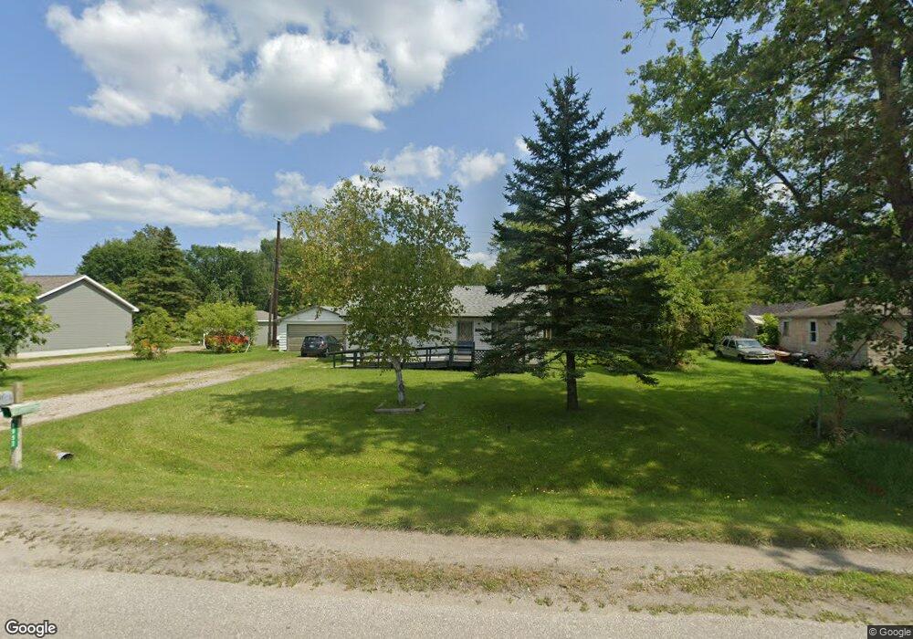
1930 Harvey Rd Kimball, MI 48074
Estimated Value: $300,000 - $344,000
3
Beds
2
Baths
2,424
Sq Ft
$131/Sq Ft
Est. Value
About This Home
This home is located at 1930 Harvey Rd, Kimball, MI 48074 and is currently estimated at $316,880, approximately $130 per square foot. 1930 Harvey Rd is a home located in St. Clair County with nearby schools including Kimball Elementary School, Central Middle School, and Port Huron High School.
Create a Home Valuation Report for This Property
The Home Valuation Report is an in-depth analysis detailing your home's value as well as a comparison with similar homes in the area
Home Values in the Area
Average Home Value in this Area
Tax History Compared to Growth
Tax History
| Year | Tax Paid | Tax Assessment Tax Assessment Total Assessment is a certain percentage of the fair market value that is determined by local assessors to be the total taxable value of land and additions on the property. | Land | Improvement |
|---|---|---|---|---|
| 2025 | $2,772 | $154,100 | $0 | $0 |
| 2024 | $1,558 | $142,500 | $0 | $0 |
| 2023 | $1,427 | $137,700 | $0 | $0 |
| 2022 | $2,457 | $118,900 | $0 | $0 |
| 2021 | $2,279 | $112,100 | $0 | $0 |
| 2020 | $2,279 | $110,900 | $110,900 | $0 |
| 2019 | $2,238 | $104,000 | $0 | $0 |
| 2018 | $2,125 | $91,900 | $0 | $0 |
| 2017 | $2,086 | $95,700 | $0 | $0 |
| 2016 | $1,162 | $95,700 | $0 | $0 |
| 2015 | -- | $92,900 | $92,900 | $0 |
| 2014 | -- | $84,400 | $84,400 | $0 |
| 2013 | -- | $93,300 | $0 | $0 |
Source: Public Records
Map
Nearby Homes
- 4595 Griswold Rd
- 1895 Range Rd
- 4632 Cloverdale Ln
- 0000 Range Rd
- 1830 Leland Rd
- 1405 Range Rd
- 00 Range Rd
- 00 Howard Rd
- 1979 Allen Rd
- V/L Allen
- 0 Wall Rd Unit 50185999
- 4466 Dove Rd
- 1701 Allen Rd
- 0 Allen Rd Unit 20250008597
- 0 Allen Rd Unit 20250008612
- 4380 Lapeer Rd
- 5035 Burma Rd
- 174 Meadow Ln
- 104 Oldbrook Ln
- 153 Meadow Ln