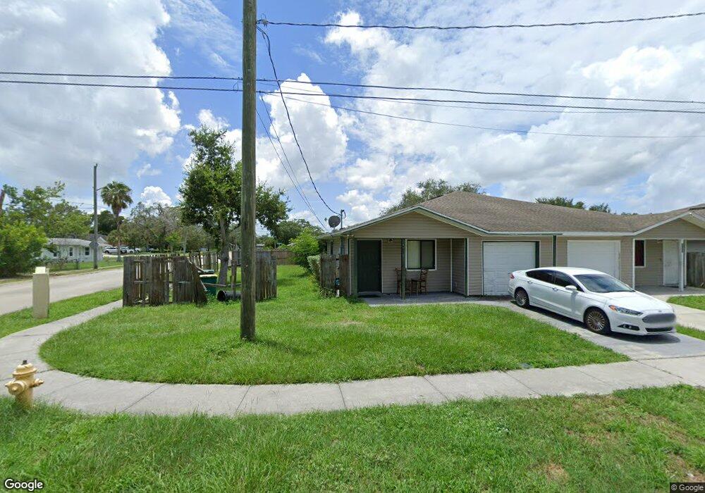
1930 Southland Ave Melbourne, FL 32935
Estimated Value: $164,599 - $205,000
2
Beds
1
Bath
964
Sq Ft
$191/Sq Ft
Est. Value
About This Home
This home is located at 1930 Southland Ave, Melbourne, FL 32935 and is currently estimated at $183,900, approximately $190 per square foot. 1930 Southland Ave is a home located in Brevard County with nearby schools including Dr. W.J. Creel Elementary School, Lyndon B. Johnson Middle School, and Eau Gallie High School.
Ownership History
Date
Name
Owned For
Owner Type
Purchase Details
Closed on
Sep 4, 2008
Sold by
Habitat For Humanity Of South Brevard In
Bought by
Maye Queshanda Latrease
Current Estimated Value
Home Financials for this Owner
Home Financials are based on the most recent Mortgage that was taken out on this home.
Original Mortgage
$61,660
Outstanding Balance
$41,189
Interest Rate
6.61%
Mortgage Type
Purchase Money Mortgage
Estimated Equity
$142,711
Create a Home Valuation Report for This Property
The Home Valuation Report is an in-depth analysis detailing your home's value as well as a comparison with similar homes in the area
Home Values in the Area
Average Home Value in this Area
Purchase History
| Date | Buyer | Sale Price | Title Company |
|---|---|---|---|
| Maye Queshanda Latrease | $90,000 | State Title Partners Llp |
Source: Public Records
Mortgage History
| Date | Status | Borrower | Loan Amount |
|---|---|---|---|
| Open | Maye Queshanda Latrease | $61,660 |
Source: Public Records
Tax History Compared to Growth
Tax History
| Year | Tax Paid | Tax Assessment Tax Assessment Total Assessment is a certain percentage of the fair market value that is determined by local assessors to be the total taxable value of land and additions on the property. | Land | Improvement |
|---|---|---|---|---|
| 2025 | $566 | $58,420 | -- | -- |
| 2024 | $558 | $56,780 | -- | -- |
| 2023 | $558 | $55,130 | $0 | $0 |
| 2022 | $531 | $53,530 | $0 | $0 |
| 2021 | $541 | $51,980 | $0 | $0 |
| 2020 | $540 | $51,270 | $0 | $0 |
| 2019 | $550 | $50,120 | $0 | $0 |
| 2018 | $544 | $49,190 | $0 | $0 |
| 2017 | $537 | $48,180 | $0 | $0 |
| 2016 | $542 | $47,190 | $8,500 | $38,690 |
| 2015 | $549 | $46,870 | $8,500 | $38,370 |
| 2014 | $538 | $46,500 | $5,500 | $41,000 |
Source: Public Records
Map
Nearby Homes
- 1920 Magnolia Ave
- 1959 Mosswood Dr
- 0 Mc Clendon St
- 1217 Pinewood Dr
- 2160 Sandalwood Dr
- 0 Aurora Rd Unit 1031808
- 1995 Canopy Dr
- 1557 Hillcrest Dr
- 217 San Juan Cir
- 1441 Hillcrest Dr
- 2223 Dryden Ct
- 1747 Clover Cir
- 1226 Westover St
- 1523 White Cap Way
- 1668 Clover Cir
- 2483 Pineapple Ave
- 1657 Clover Cir
- 2028 Stewart Rd Unit 4
- 2028 Stewart Rd Unit Lot 9
- 1920 Stewart Rd Unit 20
- 1907 Southland Ave
- 1908 Southland Ave
- 1069 Masterson St
- 1086 Masterson St
- 1067 Tuskegee Ave
- 1938 Southland Ave
- 1121 Masterson St
- 1903 Southland Ave
- 1969 Southland Ave
- 1946 Southland Ave
- 1945 Irene Summerford Way
- 1935 Irene Summerford Way
- 1915 Irene Summerford Way
- 1954 Southland Ave
- 1977 Southland Ave
- 1047 Tuskegee Ave
- 1925 Irene Summerford Way
- 1054 Masterson St
- 1890 Southland Ave
- 1962 Southland Ave