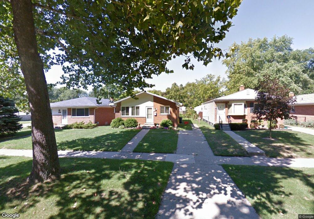
19309 Rensellor St Unit Bldg-Unit Livonia, MI 48152
Estimated Value: $196,629 - $207,000
3
Beds
1
Bath
1,014
Sq Ft
$197/Sq Ft
Est. Value
About This Home
This home is located at 19309 Rensellor St Unit Bldg-Unit, Livonia, MI 48152 and is currently estimated at $199,657, approximately $196 per square foot. 19309 Rensellor St Unit Bldg-Unit is a home located in Wayne County with nearby schools including Clarenceville High School, David Ellis Academy West, and Grand River Academy.
Ownership History
Date
Name
Owned For
Owner Type
Purchase Details
Closed on
Jun 20, 2018
Sold by
Jayska Kristen L
Bought by
Cummings Brieanna and Cummings David J
Current Estimated Value
Home Financials for this Owner
Home Financials are based on the most recent Mortgage that was taken out on this home.
Original Mortgage
$123,500
Outstanding Balance
$106,807
Interest Rate
4.5%
Mortgage Type
New Conventional
Estimated Equity
$92,850
Purchase Details
Closed on
Mar 5, 2003
Sold by
Kowalski Leonard J
Bought by
Jayska Kristen L
Create a Home Valuation Report for This Property
The Home Valuation Report is an in-depth analysis detailing your home's value as well as a comparison with similar homes in the area
Home Values in the Area
Average Home Value in this Area
Purchase History
| Date | Buyer | Sale Price | Title Company |
|---|---|---|---|
| Cummings Brieanna | $130,000 | None Available | |
| Jayska Kristen L | $132,000 | 1St Security Title Inc |
Source: Public Records
Mortgage History
| Date | Status | Borrower | Loan Amount |
|---|---|---|---|
| Open | Cummings Brieanna | $123,500 |
Source: Public Records
Tax History Compared to Growth
Tax History
| Year | Tax Paid | Tax Assessment Tax Assessment Total Assessment is a certain percentage of the fair market value that is determined by local assessors to be the total taxable value of land and additions on the property. | Land | Improvement |
|---|---|---|---|---|
| 2025 | $1,317 | $89,600 | $0 | $0 |
| 2024 | $1,317 | $81,600 | $0 | $0 |
| 2023 | $1,259 | $73,100 | $0 | $0 |
| 2022 | $2,092 | $66,100 | $0 | $0 |
| 2021 | $2,036 | $62,500 | $0 | $0 |
| 2019 | $1,984 | $52,800 | $0 | $0 |
| 2018 | $722 | $49,100 | $0 | $0 |
| 2017 | $1,060 | $43,200 | $0 | $0 |
| 2016 | $1,200 | $43,200 | $0 | $0 |
| 2015 | $3,158 | $38,400 | $0 | $0 |
| 2012 | -- | $36,050 | $9,200 | $26,850 |
Source: Public Records
Map
Nearby Homes
- 19435 Inkster Rd
- 19169 Inkster Rd
- 19424 Inkster Rd
- 19499 Saint Francis St
- 19701 Seminole
- 19643 Inkster Rd
- 19661 Antago St
- 19493 Negaunee
- 18851 Poinciana
- 19783 Poinciana
- 19904 Seminole
- 18570 Pershing St
- 19800 Poinciana
- 19816 Poinciana
- 18913 Gillman St
- 18626 Inkster Rd
- 18884 Lathers St
- 19925 Negaunee
- 27440 Fargo St
- 18411 Foch St
- 19309 Rensellor St
- 19315 Rensellor St Unit Bldg-Unit
- 19315 Rensellor St
- 19303 Rensellor St
- 19321 Rensellor St
- 19327 Rensellor St
- 19310 Antago St
- 19316 Antago St Unit Bldg-Unit
- 19316 Antago St
- 19304 Antago St
- 19231 Rensellor St
- 19326 Antago St
- 19331 Rensellor St
- 19230 Antago St
- 19215 Rensellor St
- 19339 Rensellor St Unit Bldg-Unit
- 19339 Rensellor St
- 19336 Antago St Unit Bldg-Unit
- 19336 Antago St
- 19308 Rensellor St