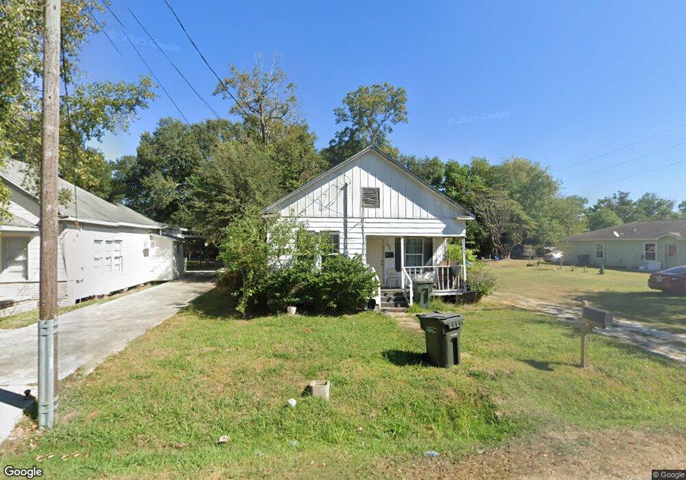
1932 10th Ave Port Arthur, TX 77642
Estimated Value: $47,411 - $72,000
--
Bed
--
Bath
722
Sq Ft
$82/Sq Ft
Est. Value
About This Home
This home is located at 1932 10th Ave, Port Arthur, TX 77642 and is currently estimated at $59,353, approximately $82 per square foot. 1932 10th Ave is a home located in Jefferson County with nearby schools including Tyrrell Elementary School, Jefferson Middle School, and Memorial High School.
Ownership History
Date
Name
Owned For
Owner Type
Purchase Details
Closed on
May 12, 2008
Sold by
Nguyen Phillip and Nguyen Xuan
Bought by
Rueda Guillermo C and Martinez Maria
Current Estimated Value
Purchase Details
Closed on
Jan 3, 2006
Sold by
Nguyen Phillip and Nguyen Xuan
Bought by
Rueda Guillermo C and Marinez Maria
Home Financials for this Owner
Home Financials are based on the most recent Mortgage that was taken out on this home.
Original Mortgage
$7,500
Interest Rate
6.23%
Mortgage Type
Seller Take Back
Create a Home Valuation Report for This Property
The Home Valuation Report is an in-depth analysis detailing your home's value as well as a comparison with similar homes in the area
Home Values in the Area
Average Home Value in this Area
Purchase History
| Date | Buyer | Sale Price | Title Company |
|---|---|---|---|
| Rueda Guillermo C | -- | None Available | |
| Rueda Guillermo C | $12,000 | -- |
Source: Public Records
Mortgage History
| Date | Status | Borrower | Loan Amount |
|---|---|---|---|
| Previous Owner | Rueda Guillermo C | $7,500 |
Source: Public Records
Tax History Compared to Growth
Tax History
| Year | Tax Paid | Tax Assessment Tax Assessment Total Assessment is a certain percentage of the fair market value that is determined by local assessors to be the total taxable value of land and additions on the property. | Land | Improvement |
|---|---|---|---|---|
| 2025 | $1,198 | $44,595 | $7,000 | $37,595 |
| 2024 | $1,198 | $43,178 | $2,450 | $40,728 |
| 2023 | $1,198 | $24,019 | $0 | $0 |
| 2022 | $693 | $21,835 | $0 | $0 |
| 2021 | $658 | $30,156 | $1,960 | $28,196 |
| 2020 | $0 | $18,045 | $1,960 | $16,085 |
| 2019 | $575 | $18,050 | $1,960 | $16,090 |
| 2018 | $0 | $16,980 | $1,960 | $15,020 |
| 2017 | $0 | $16,980 | $1,960 | $15,020 |
| 2016 | $497 | $16,980 | $1,960 | $15,020 |
| 2015 | -- | $16,980 | $1,960 | $15,020 |
| 2014 | -- | $16,980 | $1,960 | $15,020 |
Source: Public Records
Map
Nearby Homes
- 2301 Glenwood Dr
- 2325 Oaklawn Ave
- 4100 Dryden Rd
- 3945 12th St
- 2515 Date St
- 2129 Neches Ave
- 2323 7th Ave
- 2515 Glenwood Dr
- LOT 55 Royal Meadows Estate
- 2621 Evergreen Dr
- 3137 18th St
- 3132 18th St
- 3326 Thomas Blvd
- 3118 14th St
- 3123 13th St
- 3812 30th St
- 4501 Springdale St
- 3300 9th St
- 1349 Jefferson Dr
- 3512 7th St