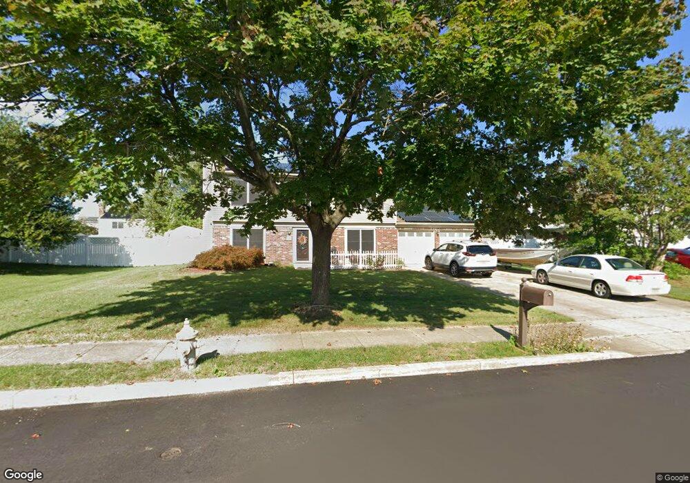
1934 Shore Blvd Toms River, NJ 08753
Estimated Value: $591,186 - $621,000
4
Beds
3
Baths
1,754
Sq Ft
$346/Sq Ft
Est. Value
About This Home
This home is located at 1934 Shore Blvd, Toms River, NJ 08753 and is currently estimated at $606,297, approximately $345 per square foot. 1934 Shore Blvd is a home located in Ocean County.
Ownership History
Date
Name
Owned For
Owner Type
Purchase Details
Closed on
Jul 14, 2000
Sold by
Paquette Daniel
Bought by
Mucci Robert
Current Estimated Value
Home Financials for this Owner
Home Financials are based on the most recent Mortgage that was taken out on this home.
Original Mortgage
$120,000
Outstanding Balance
$43,092
Interest Rate
8.28%
Estimated Equity
$563,205
Create a Home Valuation Report for This Property
The Home Valuation Report is an in-depth analysis detailing your home's value as well as a comparison with similar homes in the area
Home Values in the Area
Average Home Value in this Area
Purchase History
| Date | Buyer | Sale Price | Title Company |
|---|---|---|---|
| Mucci Robert | $150,000 | -- |
Source: Public Records
Mortgage History
| Date | Status | Borrower | Loan Amount |
|---|---|---|---|
| Open | Mucci Robert | $120,000 |
Source: Public Records
Tax History Compared to Growth
Tax History
| Year | Tax Paid | Tax Assessment Tax Assessment Total Assessment is a certain percentage of the fair market value that is determined by local assessors to be the total taxable value of land and additions on the property. | Land | Improvement |
|---|---|---|---|---|
| 2025 | $7,331 | $402,600 | $113,000 | $289,600 |
| 2024 | $6,969 | $402,600 | $113,000 | $289,600 |
| 2023 | $6,719 | $402,600 | $113,000 | $289,600 |
| 2022 | $6,719 | $402,600 | $113,000 | $289,600 |
| 2021 | $5,569 | $239,100 | $95,800 | $143,300 |
| 2020 | $5,963 | $239,100 | $95,800 | $143,300 |
| 2019 | $5,705 | $239,100 | $95,800 | $143,300 |
| 2018 | $5,628 | $239,100 | $95,800 | $143,300 |
| 2017 | $5,581 | $239,100 | $95,800 | $143,300 |
| 2016 | $5,435 | $239,100 | $95,800 | $143,300 |
| 2015 | $5,229 | $239,100 | $95,800 | $143,300 |
| 2014 | $4,978 | $239,100 | $95,800 | $143,300 |
Source: Public Records
Map
Nearby Homes
- 1939 Ship Ct
- 1145 Kenton Dr
- 141 Yellowbank Rd
- 1083 Crystal Dr
- 1850 Ensign Ct
- 1836 Ensign Ct
- 1035 Tralee Dr
- 5 Dublin Ct
- 890 Fairview Dr
- 8 Pumpshire Rd
- 1099 Fairview Dr
- 921 Tudor Dr
- 954 Vaughn Ave
- 912 New Jersey Ave
- 1090 Westlake Dr
- 2517 Waters Edge Dr Unit 17
- 1916 Waters Edge Dr Unit 16
- 1097 Westlake Dr
- 1813 Waters Edge Dr
- 1019 Waters Edge Dr
- 1938 Shore Blvd
- 1930 Shore Blvd
- 1905 Merrimac Dr
- 1901 Merrimac Dr
- 1909 Merrimac Dr
- 1135 Kells Ct
- 1897 Merrimac Dr
- 1926 Shore Blvd
- 1929 Shore Blvd
- 1913 Merrimac Dr
- 530 Maypink Dr
- 1131 Kells Ct
- 1925 Shore Blvd
- 1893 Merrimac Dr
- 1908 Merrimac Dr
- 1918 Shore Blvd
- 1912 Merrimac Dr
- 526 Maypink Dr
- 1900 Merrimac Dr