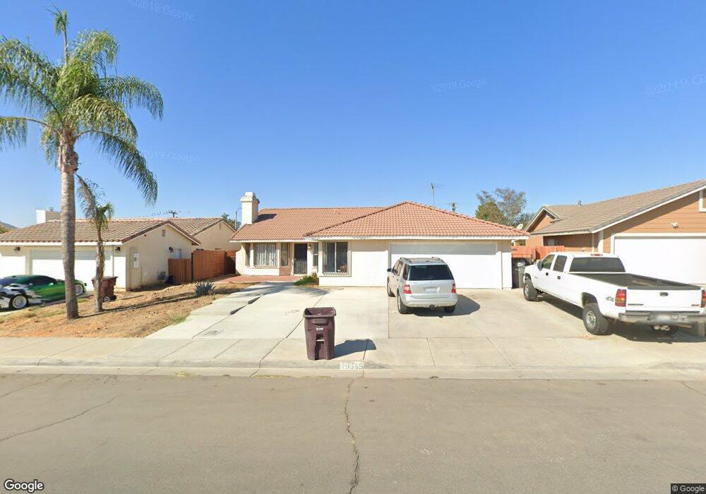
19345 Castlerock Trail Perris, CA 92570
Estimated Value: $522,605 - $571,000
3
Beds
2
Baths
1,403
Sq Ft
$394/Sq Ft
Est. Value
About This Home
This home is located at 19345 Castlerock Trail, Perris, CA 92570 and is currently estimated at $552,651, approximately $393 per square foot. 19345 Castlerock Trail is a home located in Riverside County with nearby schools including Manuel L. Real Elementary School, Tomas Rivera Middle School, and Citrus Hill High School.
Ownership History
Date
Name
Owned For
Owner Type
Purchase Details
Closed on
Apr 1, 1996
Sold by
Stonewood Housing Partners Lp
Bought by
Navarrete Efrain and Navarrete Margarita
Current Estimated Value
Home Financials for this Owner
Home Financials are based on the most recent Mortgage that was taken out on this home.
Original Mortgage
$114,000
Outstanding Balance
$5,361
Interest Rate
7.34%
Mortgage Type
Purchase Money Mortgage
Estimated Equity
$547,290
Create a Home Valuation Report for This Property
The Home Valuation Report is an in-depth analysis detailing your home's value as well as a comparison with similar homes in the area
Home Values in the Area
Average Home Value in this Area
Purchase History
| Date | Buyer | Sale Price | Title Company |
|---|---|---|---|
| Navarrete Efrain | $113,000 | Commonwealth Land Title Co |
Source: Public Records
Mortgage History
| Date | Status | Borrower | Loan Amount |
|---|---|---|---|
| Open | Navarrete Efrain | $114,000 |
Source: Public Records
Tax History Compared to Growth
Tax History
| Year | Tax Paid | Tax Assessment Tax Assessment Total Assessment is a certain percentage of the fair market value that is determined by local assessors to be the total taxable value of land and additions on the property. | Land | Improvement |
|---|---|---|---|---|
| 2025 | $2,262 | $191,870 | $46,497 | $145,373 |
| 2023 | $2,262 | $184,422 | $44,693 | $139,729 |
| 2022 | $2,196 | $180,807 | $43,817 | $136,990 |
| 2021 | $2,154 | $177,262 | $42,958 | $134,304 |
| 2020 | $2,761 | $175,445 | $42,518 | $132,927 |
| 2019 | $2,604 | $172,006 | $41,685 | $130,321 |
| 2018 | $2,555 | $168,634 | $40,869 | $127,765 |
| 2017 | $2,515 | $165,328 | $40,068 | $125,260 |
| 2016 | $2,444 | $162,087 | $39,283 | $122,804 |
| 2015 | $2,211 | $159,654 | $38,694 | $120,960 |
| 2014 | $1,865 | $156,529 | $37,937 | $118,592 |
Source: Public Records
Map
Nearby Homes
- 0 Marquez Rd
- 21277 Kinney St
- 0 Day St Unit CV24223167
- 0 Old Elsinore Rd Unit DW25247795
- 0 Old Elsinore Rd Unit CV25117444
- 18759 Clark St
- 21580 Lane St
- 21889 Mary St
- 20243 Lee Rd
- 18510 Brown St
- 20541 Moore St
- 20561 Hunter St
- 21994 Mack St
- 20415 Myron St
- 21966 Church St
- 18420 Decker Rd
- 22540 Markham St
- 20975 Oleander Ave
- 20407 Markham St
- 21840 Orange Ave
- 19335 Castlerock Trail
- 19355 Castlerock Trail
- 19325 Castlerock Trail
- 21548 Windstone Way
- 21543 Foxwood Ct
- 19315 Castlerock Trail
- 21558 Windstone Way
- 21525 Windstone Way
- 21535 Windstone Way
- 19361 Clark St
- 21553 Foxwood Ct
- 19305 Castlerock Trail
- 21545 Windstone Way
- 21568 Windstone Way
- 21563 Foxwood Ct
- 21540 Foxwood Ct
- 19295 Castlerock Trail
- 21555 Windstone Way
- 21492 Shortridge St
- 21550 Foxwood Ct