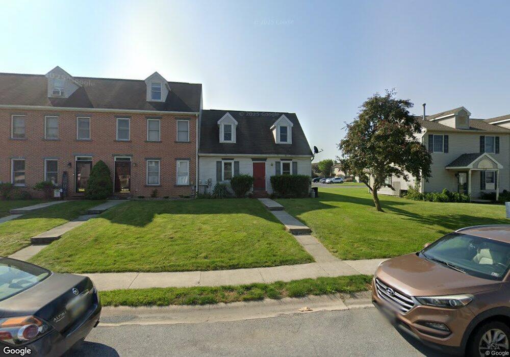
1936 Clinton Ave Chambersburg, PA 17201
Estimated Value: $213,000 - $252,706
--
Bed
1
Bath
960
Sq Ft
$238/Sq Ft
Est. Value
About This Home
This home is located at 1936 Clinton Ave, Chambersburg, PA 17201 and is currently estimated at $228,427, approximately $237 per square foot. 1936 Clinton Ave is a home located in Franklin County with nearby schools including Chambersburg Area Middle School - North, Chambersburg Area Senior High School, and Cumberland Valley Christian School.
Ownership History
Date
Name
Owned For
Owner Type
Purchase Details
Closed on
Oct 26, 2007
Sold by
Hutson Kathleen A
Bought by
Roberts Rodney D and Roberts Lynda C
Current Estimated Value
Home Financials for this Owner
Home Financials are based on the most recent Mortgage that was taken out on this home.
Original Mortgage
$111,920
Outstanding Balance
$70,849
Interest Rate
6.39%
Mortgage Type
New Conventional
Estimated Equity
$157,578
Purchase Details
Closed on
Apr 15, 2005
Sold by
Herr Dennis D
Bought by
Hutson Kathleen A
Home Financials for this Owner
Home Financials are based on the most recent Mortgage that was taken out on this home.
Original Mortgage
$104,100
Interest Rate
5.87%
Mortgage Type
Assumption
Create a Home Valuation Report for This Property
The Home Valuation Report is an in-depth analysis detailing your home's value as well as a comparison with similar homes in the area
Home Values in the Area
Average Home Value in this Area
Purchase History
| Date | Buyer | Sale Price | Title Company |
|---|---|---|---|
| Roberts Rodney D | $139,900 | None Available | |
| Hutson Kathleen A | $115,900 | None Available |
Source: Public Records
Mortgage History
| Date | Status | Borrower | Loan Amount |
|---|---|---|---|
| Open | Roberts Rodney D | $111,920 | |
| Previous Owner | Hutson Kathleen A | $104,100 |
Source: Public Records
Tax History Compared to Growth
Tax History
| Year | Tax Paid | Tax Assessment Tax Assessment Total Assessment is a certain percentage of the fair market value that is determined by local assessors to be the total taxable value of land and additions on the property. | Land | Improvement |
|---|---|---|---|---|
| 2025 | $2,086 | $14,090 | $740 | $13,350 |
| 2024 | $2,681 | $14,090 | $740 | $13,350 |
| 2023 | $2,612 | $14,090 | $740 | $13,350 |
| 2022 | $2,541 | $14,090 | $740 | $13,350 |
| 2021 | $2,527 | $14,090 | $740 | $13,350 |
| 2020 | $2,472 | $14,090 | $740 | $13,350 |
| 2019 | $2,399 | $14,090 | $740 | $13,350 |
| 2018 | $2,326 | $14,090 | $740 | $13,350 |
| 2017 | $2,191 | $14,090 | $740 | $13,350 |
| 2016 | $404 | $14,090 | $740 | $13,350 |
| 2015 | $376 | $14,090 | $740 | $13,350 |
| 2014 | $376 | $14,090 | $740 | $13,350 |
Source: Public Records
Map
Nearby Homes
- 547 Mentzer Ave
- 735 Bassett Dr
- 81 Laurel Ave
- 30 Laurel Ave
- 2336 Somerset Rd
- 59 Edgelea Dr
- 1621 Scotland Ave
- 2242 Scotland Rd
- 454 Winchester Dr
- 1426 Alexander Ave
- 2532 Austin Ave
- 465 Winchester Dr
- 1648 Philadelphia Ave
- 0 Philadelphia Ave Unit PAFL2026366
- 1024 Wilson Ave
- 261 Justine Dr Unit 291
- 2420 Mccleary Dr
- 2353 Mccleary Dr
- 149 Matthew Dr
- 197 Parkwood Dr Unit 320
- 1940 Clinton Ave
- 1940 Clinton Ave Unit 93
- 1934 Clinton Ave
- 1942 Clinton Ave
- 1930 Clinton Ave
- 1946 Clinton Ave
- 1948 Clinton Ave
- 1928 Clinton Ave
- 1950 Clinton Ave
- 1926 Clinton Ave
- 1952 Clinton Ave
- 1924 Clinton Ave
- 1941 Ashley Dr Unit 1A
- 1941 Ashley Dr Unit 2B
- 1941 Ashley Dr Unit 3B
- 1941 Ashley Dr Unit 2C
- 1941 Ashley Dr Unit 2D
- 1941 Ashley Dr Unit 1B
- 1941 Ashley Dr Unit 3C