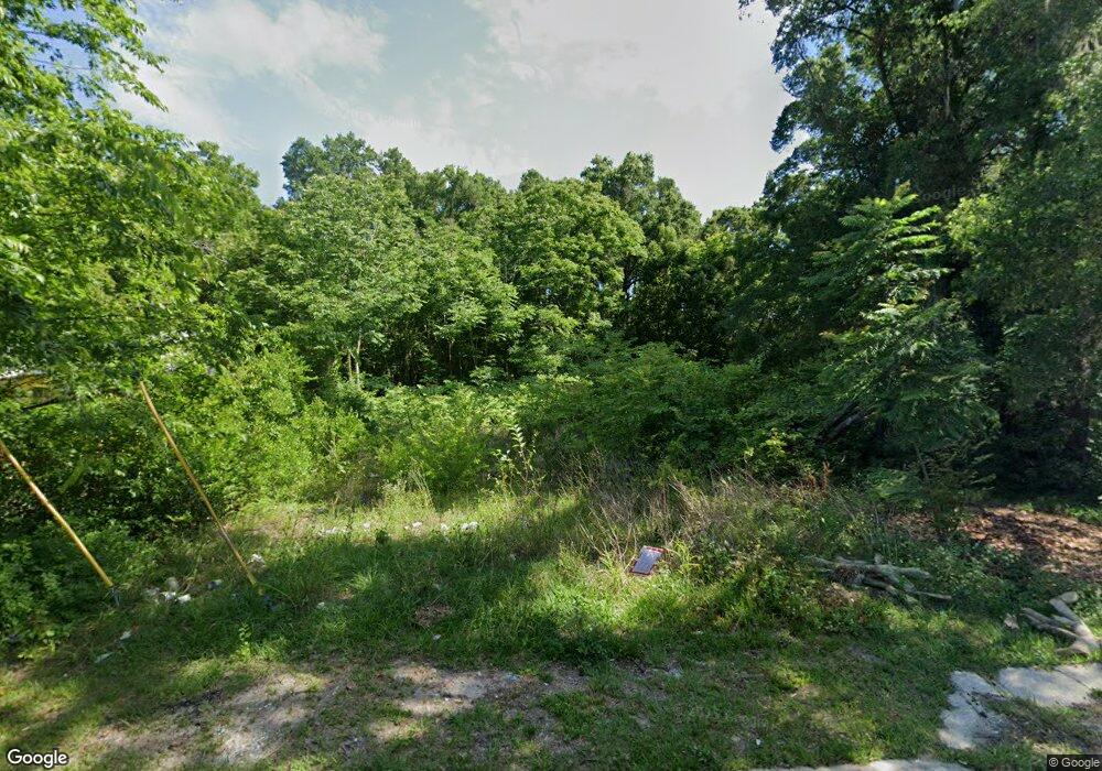
1937 NW 5th St Ocala, FL 34475
Northwest Ocala NeighborhoodEstimated Value: $78,000 - $116,000
2
Beds
1
Bath
744
Sq Ft
$126/Sq Ft
Est. Value
About This Home
This home is located at 1937 NW 5th St, Ocala, FL 34475 and is currently estimated at $93,425, approximately $125 per square foot. 1937 NW 5th St is a home located in Marion County with nearby schools including Ward-Highlands Elementary School, Howard Middle School, and Vanguard High School.
Ownership History
Date
Name
Owned For
Owner Type
Purchase Details
Closed on
Nov 30, 2022
Sold by
5T Wealth Partners Lp
Bought by
Morris Erin
Current Estimated Value
Purchase Details
Closed on
May 3, 2010
Sold by
County Of Marion
Bought by
Tax Certificate Redemptions Inc
Purchase Details
Closed on
Jan 10, 2010
Sold by
Tax Certification Redmptions Inc
Bought by
5T Wealth Partners Lp
Create a Home Valuation Report for This Property
The Home Valuation Report is an in-depth analysis detailing your home's value as well as a comparison with similar homes in the area
Home Values in the Area
Average Home Value in this Area
Purchase History
| Date | Buyer | Sale Price | Title Company |
|---|---|---|---|
| Morris Erin | $100 | None Listed On Document | |
| Morris Erin | $100 | None Listed On Document | |
| Tax Certificate Redemptions Inc | $5,906 | None Available | |
| 5T Wealth Partners Lp | $7,114 | None Available |
Source: Public Records
Tax History Compared to Growth
Tax History
| Year | Tax Paid | Tax Assessment Tax Assessment Total Assessment is a certain percentage of the fair market value that is determined by local assessors to be the total taxable value of land and additions on the property. | Land | Improvement |
|---|---|---|---|---|
| 2024 | $230 | $9,732 | -- | -- |
| 2023 | $211 | $8,847 | $6,400 | $2,447 |
| 2022 | $148 | $5,687 | $0 | $0 |
| 2021 | $126 | $5,647 | $3,200 | $2,447 |
| 2020 | $93 | $5,647 | $3,200 | $2,447 |
| 2019 | $79 | $4,273 | $1,826 | $2,447 |
| 2018 | $78 | $4,273 | $1,826 | $2,447 |
| 2017 | $79 | $4,273 | $1,826 | $2,447 |
| 2016 | $337 | $18,040 | $0 | $0 |
| 2015 | $332 | $17,499 | $0 | $0 |
| 2014 | $303 | $17,128 | $0 | $0 |
Source: Public Records
Map
Nearby Homes
- 1650 NW 7th St
- 0 SW 19 Ave Rd Unit F10471986
- 1954 NW 1st St
- 1722 NW 1st St
- 202 NW 21st Ave
- 0 SW 21 Ave Unit MFRTB8430646
- 0 NW 16th Ct
- 110 SW Fort King St
- 719 NW 14th Ave
- 1910 SW 2nd St
- 0 SE 23 Ave Unit MFROM702994
- 0 SW 23 Avenue Rd
- 2105 NW 10th (Us Hwy 27) St
- 1316 NW 8th St
- 1715 SW 3rd St
- 1324 W Silver Springs Blvd
- 0 NW 12th Ave Unit MFROM697162
- 346 NW 24th Ave
- 1683 SW 3rd St
- 1322 W Silver Springs Blvd
- 1941 NW 5th St
- 1945 NW 5th St
- TBD NW 6th St
- 472 NW 19th Ave
- 1936 NW 5th St
- 1932 NW 5th St
- 1940 NW 5th St
- 1944 NW 5th St
- 415 NW 19th Ct
- 1953 NW 5th St
- 1948 NW 5th St
- 1937 NW 4th Place
- 1933 NW 4th Place
- 413 NW 19th Ct
- 1941 NW 4th Place
- 1945 NW 4th Place
- 411 NW 19th Ct
- 1949 NW 4th Place
- 420 NW 20th Ave
- 1944 NW 6th St
