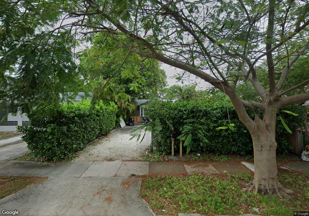
1937 Taylor St Unit 2 Hollywood, FL 33020
Royal Poinciana NeighborhoodEstimated Value: $488,999 - $659,000
1
Bed
1
Bath
1,447
Sq Ft
$397/Sq Ft
Est. Value
About This Home
This home is located at 1937 Taylor St Unit 2, Hollywood, FL 33020 and is currently estimated at $575,000, approximately $397 per square foot. 1937 Taylor St Unit 2 is a home located in Broward County with nearby schools including Dania Elementary School, Olsen Middle School, and South Broward High School.
Ownership History
Date
Name
Owned For
Owner Type
Purchase Details
Closed on
Dec 9, 2024
Sold by
Gutierrez Fernando
Bought by
Taylor Hollywood Llc
Current Estimated Value
Purchase Details
Closed on
May 31, 2019
Sold by
De Nicci Llc
Bought by
Gutierrez Fernando
Home Financials for this Owner
Home Financials are based on the most recent Mortgage that was taken out on this home.
Original Mortgage
$203,000
Interest Rate
4.2%
Mortgage Type
Commercial
Purchase Details
Closed on
Aug 4, 2016
Sold by
De Nicci Llc
Bought by
Britton Family Group Llc
Home Financials for this Owner
Home Financials are based on the most recent Mortgage that was taken out on this home.
Original Mortgage
$215,000
Interest Rate
3.41%
Mortgage Type
Commercial
Purchase Details
Closed on
Sep 9, 2009
Sold by
Rezvani Farbod
Bought by
De Nicci Llc
Purchase Details
Closed on
Jul 31, 2008
Sold by
Denicci Llc
Bought by
Rezvani Farbod
Purchase Details
Closed on
Apr 8, 2008
Sold by
Weisberg Lawrence M
Bought by
De Nicci Llc
Purchase Details
Closed on
Sep 8, 2005
Sold by
Woodward Jason S and Woodward Jeffrey
Bought by
Weisberg Lawrence M
Home Financials for this Owner
Home Financials are based on the most recent Mortgage that was taken out on this home.
Original Mortgage
$320,000
Interest Rate
7.87%
Mortgage Type
Commercial
Purchase Details
Closed on
May 21, 2002
Sold by
Alessi Daniel A
Bought by
Woodward Jason S and Woodward Jeffrey
Home Financials for this Owner
Home Financials are based on the most recent Mortgage that was taken out on this home.
Original Mortgage
$167,674
Interest Rate
6.77%
Mortgage Type
FHA
Purchase Details
Closed on
Sep 9, 1994
Sold by
Ormston Robert and Ormston Andrea
Bought by
Alessi Daniel A
Home Financials for this Owner
Home Financials are based on the most recent Mortgage that was taken out on this home.
Original Mortgage
$52,000
Interest Rate
8.51%
Mortgage Type
Commercial
Create a Home Valuation Report for This Property
The Home Valuation Report is an in-depth analysis detailing your home's value as well as a comparison with similar homes in the area
Home Values in the Area
Average Home Value in this Area
Purchase History
| Date | Buyer | Sale Price | Title Company |
|---|---|---|---|
| Taylor Hollywood Llc | -- | None Listed On Document | |
| Gutierrez Fernando | $290,000 | Attorney | |
| Britton Family Group Llc | $265,000 | None Available | |
| De Nicci Llc | -- | None Available | |
| Rezvani Farbod | -- | None Available | |
| De Nicci Llc | $155,000 | Attorney | |
| Weisberg Lawrence M | $425,000 | Oasis Title Company | |
| Woodward Jason S | $169,000 | Agents Title Inc | |
| Alessi Daniel A | $65,000 | -- |
Source: Public Records
Mortgage History
| Date | Status | Borrower | Loan Amount |
|---|---|---|---|
| Previous Owner | Gutierrez Fernando | $203,000 | |
| Previous Owner | Britton Family Group Llc | $215,000 | |
| Previous Owner | Weisberg Lawrence M | $320,000 | |
| Previous Owner | Woodward Jason S | $167,674 | |
| Previous Owner | Alessi Daniel A | $52,000 |
Source: Public Records
Tax History Compared to Growth
Tax History
| Year | Tax Paid | Tax Assessment Tax Assessment Total Assessment is a certain percentage of the fair market value that is determined by local assessors to be the total taxable value of land and additions on the property. | Land | Improvement |
|---|---|---|---|---|
| 2025 | $9,007 | $438,920 | $38,160 | $400,760 |
| 2024 | $8,484 | $416,730 | -- | -- |
| 2023 | $8,484 | $344,170 | $0 | $0 |
| 2022 | $7,350 | $312,890 | $0 | $0 |
| 2021 | $6,543 | $284,450 | $38,160 | $246,290 |
| 2020 | $6,106 | $263,900 | $38,160 | $225,740 |
| 2019 | $6,004 | $255,620 | $38,160 | $217,460 |
| 2018 | $5,846 | $254,570 | $38,160 | $216,410 |
| 2017 | $5,426 | $238,500 | $0 | $0 |
| 2016 | $2,373 | $77,830 | $0 | $0 |
| 2015 | $2,086 | $70,760 | $0 | $0 |
| 2014 | $1,897 | $64,330 | $0 | $0 |
| 2013 | -- | $61,900 | $35,440 | $26,460 |
Source: Public Records
Map
Nearby Homes
- 2010 Fillmore St Unit 303
- 2010 Fillmore St Unit 202
- 504 N 20th Ave
- 1930 Pierce St
- 2000 Polk St
- 1817 Taylor St Unit 1614
- 1817 Taylor St Unit 1211
- 1817 Taylor St Unit 1503
- 1817 Taylor St Unit 1207
- 1817 Taylor St Unit 1109
- 1817 Taylor St Unit 1812
- 1817 Taylor St Unit 1806
- 1817 Taylor St Unit 1615
- 1817 Taylor St Unit 1204
- 1817 Taylor St Unit 1602
- 1817 Taylor St Unit 1101
- 1830 Radius Dr Unit 810
- 1830 Radius Dr Unit 516
- 1830 Radius Dr Unit 1301
- 1830 Radius Dr Unit 609
- 1937 Taylor St
- 1937 Taylor St Unit 1
- 1937 Taylor St Unit 3
- 1933 Taylor St
- 1935 Taylor St Unit 2
- 1935 Taylor St Unit 1
- 1943 Taylor St
- 1947 Taylor St Unit 6
- 1947 Taylor St Unit 1
- 1947 Taylor St Unit 5
- 1947 Taylor St Unit 4
- 1947 Taylor St Unit 3
- 1947 Taylor St Unit 2
- 1953 Taylor St
- 1955 Taylor St
- 1955 Taylor St
- 1938 Fillmore St
- 1938 Fillmore St Unit 4
- 1938 Fillmore St
- 1932 Taylor St