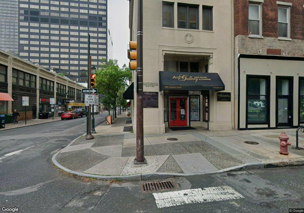
1939 Chestnut St Unit 7C Philadelphia, PA 19103
Center City West NeighborhoodEstimated Value: $216,000 - $255,275
1
Bed
1
Bath
506
Sq Ft
$484/Sq Ft
Est. Value
About This Home
This home is located at 1939 Chestnut St Unit 7C, Philadelphia, PA 19103 and is currently estimated at $244,819, approximately $483 per square foot. 1939 Chestnut St Unit 7C is a home located in Philadelphia County with nearby schools including Albert M Greenfield School, Benjamin Franklin High School, and Russell Byers Charter School.
Ownership History
Date
Name
Owned For
Owner Type
Purchase Details
Closed on
Aug 16, 2006
Sold by
Wp 1939 Chestnut Lp
Bought by
Huang Fang and Huang Yung
Current Estimated Value
Home Financials for this Owner
Home Financials are based on the most recent Mortgage that was taken out on this home.
Original Mortgage
$174,000
Interest Rate
6.24%
Mortgage Type
Purchase Money Mortgage
Create a Home Valuation Report for This Property
The Home Valuation Report is an in-depth analysis detailing your home's value as well as a comparison with similar homes in the area
Home Values in the Area
Average Home Value in this Area
Purchase History
| Date | Buyer | Sale Price | Title Company |
|---|---|---|---|
| Huang Fang | $217,500 | None Available |
Source: Public Records
Mortgage History
| Date | Status | Borrower | Loan Amount |
|---|---|---|---|
| Previous Owner | Huang Fang | $174,000 |
Source: Public Records
Tax History Compared to Growth
Tax History
| Year | Tax Paid | Tax Assessment Tax Assessment Total Assessment is a certain percentage of the fair market value that is determined by local assessors to be the total taxable value of land and additions on the property. | Land | Improvement |
|---|---|---|---|---|
| 2025 | $3,117 | $222,700 | $29,000 | $193,700 |
| 2024 | $3,117 | $222,700 | $29,000 | $193,700 |
| 2023 | $3,117 | $222,700 | $29,000 | $193,700 |
| 2022 | $3,117 | $222,700 | $29,000 | $193,700 |
| 2021 | $3,117 | $0 | $0 | $0 |
| 2020 | $3,117 | $0 | $0 | $0 |
| 2019 | $3,539 | $0 | $0 | $0 |
| 2018 | $2,219 | $0 | $0 | $0 |
| 2017 | $2,219 | $0 | $0 | $0 |
| 2016 | $2,017 | $0 | $0 | $0 |
| 2015 | $1,931 | $0 | $0 | $0 |
| 2014 | -- | $144,100 | $14,410 | $129,690 |
| 2012 | -- | $9,280 | $2,551 | $6,729 |
Source: Public Records
Map
Nearby Homes
- 1919 Chestnut St Unit 1016
- 1919 Chestnut St Unit 2819
- 1919 Chestnut St Unit 904
- 1919 Chestnut St Unit 710
- 1919 Chestnut St Unit 2422
- 1919 Chestnut St Unit 2508
- 1919 Chestnut St Unit 807
- 1919 Chestnut St Unit 1502
- 1919 Chestnut St Unit 2903
- 1919 Chestnut St Unit 2901-02
- 1919 Chestnut St Unit 2601
- 1919 Chestnut St Unit 1403
- 1919 Chestnut St Unit 523-524
- 1919 Chestnut St Unit 1722
- 1919 Chestnut St Unit 2023-24
- 1919 Chestnut St Unit 2004
- 1919 Chestnut St Unit 1812
- 1919 Chestnut St Unit 1103
- 1920 Chestnut St Unit 5N
- 1817-1819 Ranstead St
- 1939 Chestnut St Unit 8A
- 1939 Chestnut St Unit 7A
- 1939 Chestnut St Unit 1AMEZZ
- 1939 Chestnut St Unit 8D
- 1939 Chestnut St Unit 6A
- 1939 Chestnut St Unit 3C
- 1939 Chestnut St Unit 4A
- 1939 Chestnut St Unit 2C
- 1939 Chestnut St Unit 8C
- 1939 Chestnut St Unit 8B
- 1939 Chestnut St Unit 7D
- 1939 Chestnut St Unit 7B
- 1939 Chestnut St Unit 6D
- 1939 Chestnut St Unit 6C
- 1939 Chestnut St Unit 6B
- 1939 Chestnut St Unit 3D
- 1939 Chestnut St Unit C2
- 1939 Chestnut St Unit C1
- 1939 Chestnut St Unit 5D
- 1939 Chestnut St Unit 5C