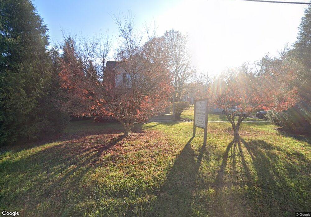
194 Alstadts Hill Rd Harpers Ferry, WV 25425
Estimated Value: $377,000 - $489,000
4
Beds
2
Baths
1,792
Sq Ft
$235/Sq Ft
Est. Value
About This Home
This home is located at 194 Alstadts Hill Rd, Harpers Ferry, WV 25425 and is currently estimated at $421,960, approximately $235 per square foot. 194 Alstadts Hill Rd is a home with nearby schools including C.W. Shipley Elementary School, Harpers Ferry Middle School, and Washington High School.
Ownership History
Date
Name
Owned For
Owner Type
Purchase Details
Closed on
Feb 4, 2022
Sold by
Knott Matthew P
Bought by
Harpers Ferry Holdings Llc
Current Estimated Value
Purchase Details
Closed on
Aug 17, 2011
Sold by
Renner Matthew D
Bought by
Harpers Ferry Holdings Llc
Create a Home Valuation Report for This Property
The Home Valuation Report is an in-depth analysis detailing your home's value as well as a comparison with similar homes in the area
Home Values in the Area
Average Home Value in this Area
Purchase History
| Date | Buyer | Sale Price | Title Company |
|---|---|---|---|
| Harpers Ferry Holdings Llc | -- | None Listed On Document | |
| Harpers Ferry Holdings Llc | -- | None Listed On Document | |
| Harpers Ferry Holdings Llc | $140,000 | None Available |
Source: Public Records
Tax History Compared to Growth
Tax History
| Year | Tax Paid | Tax Assessment Tax Assessment Total Assessment is a certain percentage of the fair market value that is determined by local assessors to be the total taxable value of land and additions on the property. | Land | Improvement |
|---|---|---|---|---|
| 2025 | $4,653 | $200,200 | $79,100 | $121,100 |
| 2024 | $4,462 | $190,600 | $79,100 | $111,500 |
| 2023 | $4,452 | $190,600 | $79,100 | $111,500 |
| 2022 | $3,765 | $158,000 | $60,700 | $97,300 |
| 2021 | $3,586 | $147,600 | $60,700 | $86,900 |
| 2020 | $3,323 | $146,000 | $58,100 | $87,900 |
| 2019 | $3,356 | $144,700 | $58,100 | $86,600 |
| 2018 | $3,235 | $137,700 | $52,800 | $84,900 |
| 2017 | $3,254 | $138,500 | $52,800 | $85,700 |
| 2016 | $3,027 | $129,200 | $42,600 | $86,600 |
| 2015 | $3,211 | $136,300 | $55,100 | $81,200 |
| 2014 | $2,734 | $116,300 | $35,100 | $81,200 |
Source: Public Records
Map
Nearby Homes
- 283 Jenny Lind Dr
- 57 Rowles St
- 235 Spring St
- 109 Chickamauga Dr
- 103 Mudfort Dr
- 698 Elk Run Estates Dr
- 76 Zorger St
- 46 Village Cir
- 52 Pleasant Hill Rd
- 115 Old Furnace Rd
- 828 Shepherdstown Pike
- 46 Park Ave
- 3607 Chestnut Hill Rd
- 1226 Washington St
- 33 River View Dr
- 87 Blue Ridge Loop
- 22 Clifford Ct
- 0 W Ridge St
- 291 River View Dr
- 1035 Putnam St
- 164 Alstadts Hill Rd
- 227 Alstadts Rd
- 126 Alstadts Hill Rd
- 334 Alstadts Hill Rd
- 0 Alstadts Hill Rd Unit 1007248344
- 0 Alstadts Hill Rd Unit 1002056588
- 0 Alstadts Hill Rd Unit JF9741406
- 0 Alstadts Hill Rd Unit WVJF2007158
- 0 Alstadts Hill Rd Unit WVJF137782
- 356 Alstadts Hill Rd
- 402 Alstadts Hill Rd
- 36 Bakerton Rd
- 1 Bloomery Rd
- 27 Cr-27
- 28 Bakerton Rd Unit RT
- 0 Fort Hill Rd
- 27 Bakerton Rd
- 75 Fort Hill Rd
- 475 Alstadts Hill Rd
- 57 Fort Hill Rd