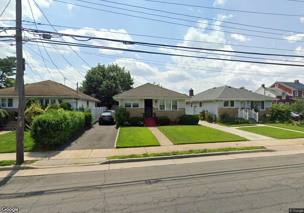
194 Milburn Ave Hempstead, NY 11550
Estimated Value: $619,000 - $649,572
3
Beds
2
Baths
1,186
Sq Ft
$535/Sq Ft
Est. Value
About This Home
This home is located at 194 Milburn Ave, Hempstead, NY 11550 and is currently estimated at $634,286, approximately $534 per square foot. 194 Milburn Ave is a home located in Nassau County with nearby schools including Grand Avenue Elementary School, Lawrence Road Middle School, and Uniondale High School.
Ownership History
Date
Name
Owned For
Owner Type
Purchase Details
Closed on
Apr 1, 2019
Sold by
M I M Properties Inc
Bought by
Bolling Jameen and Taylor Bolling Jonea
Current Estimated Value
Home Financials for this Owner
Home Financials are based on the most recent Mortgage that was taken out on this home.
Original Mortgage
$386,650
Outstanding Balance
$343,089
Interest Rate
4.87%
Mortgage Type
FHA
Estimated Equity
$291,197
Purchase Details
Closed on
Nov 16, 2018
Sold by
Tibbs Marsha B and Tibbs Reginald
Bought by
Mim Porperties Inc
Create a Home Valuation Report for This Property
The Home Valuation Report is an in-depth analysis detailing your home's value as well as a comparison with similar homes in the area
Home Values in the Area
Average Home Value in this Area
Purchase History
| Date | Buyer | Sale Price | Title Company |
|---|---|---|---|
| Bolling Jameen | -- | Old Republic Title | |
| Mim Porperties Inc | $203,000 | Judicial Title |
Source: Public Records
Mortgage History
| Date | Status | Borrower | Loan Amount |
|---|---|---|---|
| Open | Bolling Jameen | $386,650 |
Source: Public Records
Tax History Compared to Growth
Tax History
| Year | Tax Paid | Tax Assessment Tax Assessment Total Assessment is a certain percentage of the fair market value that is determined by local assessors to be the total taxable value of land and additions on the property. | Land | Improvement |
|---|---|---|---|---|
| 2025 | $5,848 | $352 | $174 | $178 |
| 2024 | $840 | $352 | $174 | $178 |
| 2023 | $4,737 | $352 | $174 | $178 |
| 2022 | $4,737 | $352 | $174 | $178 |
| 2021 | $6,367 | $341 | $135 | $206 |
| 2020 | $4,918 | $414 | $413 | $1 |
| 2019 | $722 | $414 | $413 | $1 |
| 2018 | $2,198 | $425 | $0 | $0 |
| 2017 | $2,162 | $425 | $302 | $123 |
| 2016 | $2,827 | $469 | $333 | $136 |
| 2015 | $910 | $612 | $435 | $177 |
| 2014 | $910 | $612 | $435 | $177 |
| 2013 | $843 | $612 | $435 | $177 |
Source: Public Records
Map
Nearby Homes
- 198 Milburn Ave
- 190 Milburn Ave
- 202 Milburn Ave
- 210 Milburn Ave
- 180 Milburn Ave
- 18 Cleaves Ave
- 22 Cleaves Ave
- 14 Cleaves Ave
- 88 Harold Ave
- 26 Cleaves Ave
- 84 Harold Ave
- 214 Milburn Ave
- 32 Cleaves Ave
- 78 Harold Ave
- 38 Cleaves Ave
- 218 Milburn Ave
- 42 Cleaves Ave
- 72 Harold Ave
- 224 Milburn Ave
- 19 Cleaves Ave